Browse / Croatia / Istria / Draguć
Draguć
Istriavillage

Featured view
Draguć
Total population
68
Elevation350 m
Land area7.1 km²
Coordinates45.33°, 14.00°
Demographic figures from Croatian Bureau of Statistics. Overview below cites Wikipedia and may reference a different year.
Loading additional data from public sources…0 / 11
CensusWikipediaWeatherPlacesPeopleEnvironmentHealth & SchoolsRelatedGeography & CultureLive MonitoringEvents & Gallery
0% completeCity facts
Elevation
350 m
Area
7.1 km²
Facts from Wikidata (CC0).
Overview
Draguć is a small fortified village in Croatia's Istria County. Today it pertains to the municipality of Cerovlje.
Read more on WikipediaHistory & geography
Geography
Latitude
45.3323
Longitude
14.0031
Water area
—
Coordinates & boundaries from the US Census TIGER/Line shapefiles.
Climate
Air quality
Walkability
Amenities nearby
Wildlife & biodiversity
Earthquake history
Photos
Sights & places nearby
Notable people from here
Nearby places in Istria
- Oslići1.1 mi away · pop. 79
- Korelići1.1 mi away · pop. 53
- Račički Brijeg1.3 mi away · pop. 51
- Grimalda1.6 mi away · pop. 75
- Račice1.8 mi away · pop. 16
- Juradi2 mi away · pop. 75
- Pagubice2.5 mi away · pop. 127
- Medveje2.5 mi away · pop. 31
- Hum2.6 mi away · pop. 30
- Previž2.8 mi away · pop. 83
- Brnobići2.9 mi away · pop. 52
- Klarići2.9 mi away · pop. 39
Geography & sun
Avg solar (kWh/m²/day)
3.6
Annual solar (kWh/m²)
1,313
Elevation, sunrise/sunset and daylight from Open-Meteo. Solar climatology from NASA POWER.
Nearby airports
Public attention
Wikipedia views (last 30 days)
139
Avg daily Wikipedia views
5
Attention level
Obscure
Pageview totals from the Wikimedia Pageviews API.
Books about this place
Recent natural events nearby
Ground air-quality sensors
Recently spotted species
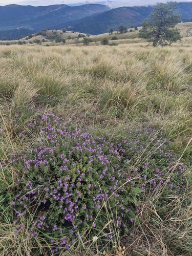
Satureja subspicata
Satureja subspicata
Seen 2026-09-17
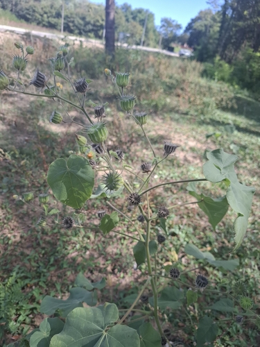
velvetleaf
Abutilon theophrasti
Seen 2026-09-16
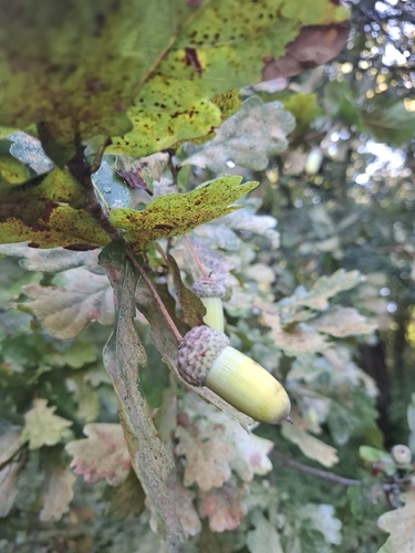
English oak
Quercus robur
Seen 2026-09-16
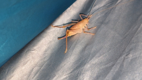
Shielded Oak Bush-cricket
Cyrtaspis scutata
Seen 2026-09-15
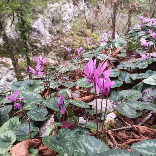
European Cyclamen
Cyclamen purpurascens
Seen 2026-09-14
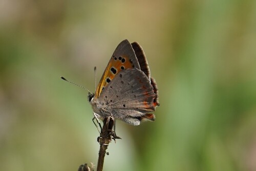
Small Copper
Lycaena phlaeas
Seen 2026-09-14
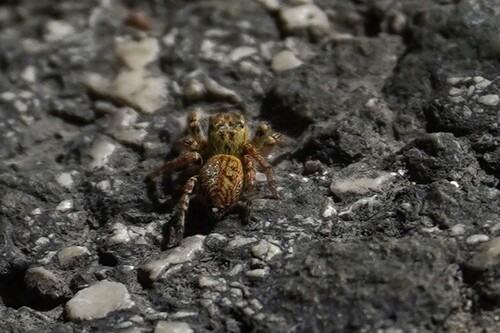
Carrhotus xanthogramma
Carrhotus xanthogramma
Seen 2026-09-14
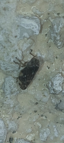
Meadow Spittlebug
Philaenus spumarius
Seen 2026-09-14
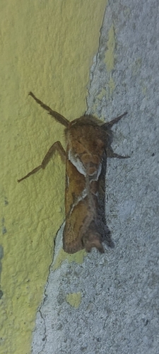
Orange Swift
Triodia sylvina
Seen 2026-09-14
Research-grade observations from iNaturalist (within ~15 mi).
Events
Gallery
Sources
- • Wikipedia
- • Wikidata
- • iNaturalist
- • Open-Meteo / sunrise-sunset.org
- • Wikipedia Pageviews API