Browse / Croatia / Primorje-Gorski Kotar / Dramalj
Dramalj
Primorje-Gorski Kotarvillage

Dramalj
Total population
1,485
Demographic figures from Croatian Bureau of Statistics. Overview below cites Wikipedia and may reference a different year.
City facts
Facts from Wikidata (CC0).
Overview
Dramalj is a small fishing village in Croatia. It is part of the town of Crikvenica, extending from the neighborhood Crni mol to the tourist complex Kačjak. A tourism boom in the nearby Crikvenica area and the rest of the Croatian Littoral in the 19th century drove the development of Dramalj.
Read more on WikipediaHistory & geography
History
Dramalj was first mentioned in the 18th century, when it was named Zagorje - Dramalj. It began as a fishing port with olive groves, most of which were owned by the inhabitants of Tribalj Valley. There are ruins of an ancient Liburnian hill fort enclosed with a dry-stone dyke above Dramalj. Amphorae found around the Kačjak Peninsula are evidence of an ancient Roman port located there at the time. In the Austro-Hungarian times, Dramalj was part of Sveta Jelena County (St. Helen), which was founded in 1809. were built after 1812. The church was built on the foundations of an old chapel, when Dramalj belonged to Belgrad parish. G. Capovilla, a stone carver from Rijeka, made the altar in 1796. The construction of the church was financed by the parish and initiated by Mate Balas, then parish priest. The interior of the church was refurbished in the 19th century, the pulpit in 1837 and the main altar in 1845. The name of the village was soon after changed to Sveta Jelena. After the World War II, the former name Dramalj was restored. Between 1871 and 1875, Selce obćina, Grižane obćina, Belgrad obćina, Drvenik obćina, Sveta Jelena (Dramalj) obćina and Sveti Jakov obćina were all merged as Grižane-Crkvenica obćina. The Culture Hall is located in the vicinity of the church. In 1939, the building was home to the first public library in Dramalj.
Excerpted from the corresponding Wikipedia article (CC BY-SA).
Geography
Coordinates & boundaries from the US Census TIGER/Line shapefiles.
Climate
Air quality
Walkability
Amenities nearby
Wildlife & biodiversity
Earthquake history
Photos
Sights & places nearby
Notable people from here
Nearby places in Primorje-Gorski Kotar
- Vrbnik8.1 mi away · pop. 948
- Vrh12 mi away · pop. 846
- Homer12 mi away · pop. 272
- Draga Bašćanska14.1 mi away · pop. 253
- Viškovo18.8 mi away · pop. 3,602
- Hlevci18.9 mi away · pop. 17
- Sroki19.4 mi away · pop. 1,979
- Opatija20.1 mi away · pop. 5,701
- Skrad20.1 mi away · pop. 694
- Kraj20.2 mi away · pop. 98
- Lovran20.3 mi away · pop. 3,336
- Pobri20.5 mi away · pop. 1,114
Geography & sun
Elevation, sunrise/sunset and daylight from Open-Meteo. Solar climatology from NASA POWER.
Nearby airports
Public attention
Pageview totals from the Wikimedia Pageviews API.
Books about this place
Recent natural events nearby
Ground air-quality sensors
Recently spotted species
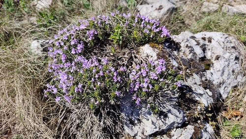
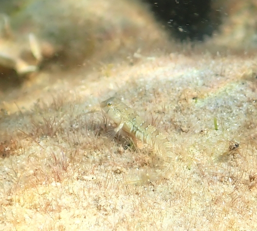
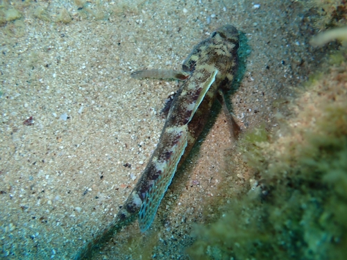
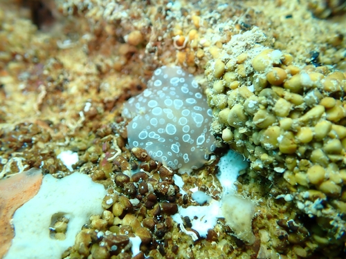
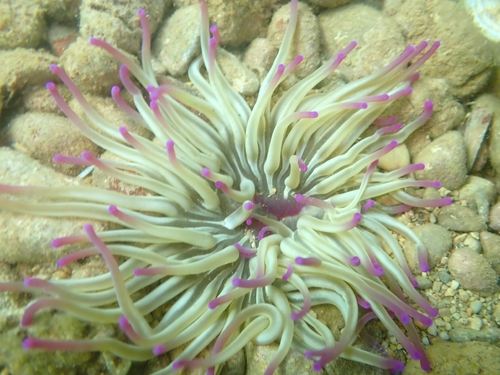
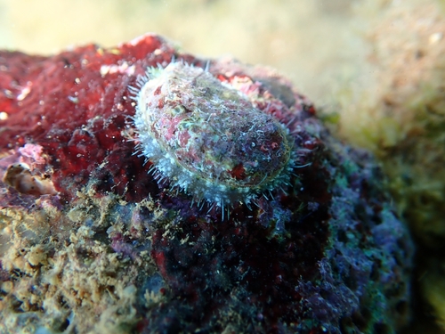
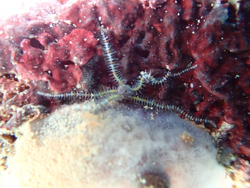
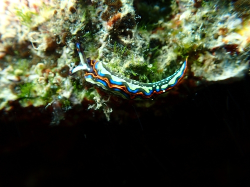
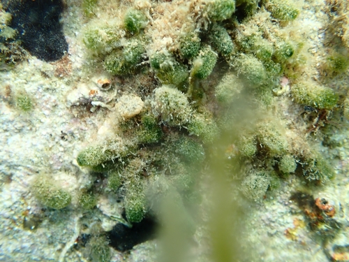
Research-grade observations from iNaturalist (within ~15 mi).
Events
Gallery
Sources
- • Wikipedia
- • Wikidata
- • iNaturalist
- • Open-Meteo / sunrise-sunset.org
- • Wikipedia Pageviews API