Browse / Croatia / Šibenik-Knin / Drniš
Drniš
Šibenik-Knintown

Drniš
Total population
2,752
Demographic figures from Croatian Bureau of Statistics. Overview below cites Wikipedia and may reference a different year.
City facts
Facts from Wikidata (CC0).
Overview
Drniš is a town in the Šibenik-Knin County, Croatia. Located in the Dalmatian Hinterland, it is about halfway between Šibenik and Knin.
Read more on WikipediaHistory & geography
History
The name Drniš was mentioned for the first time in a contract dated March 8, 1494. However, there are traces of an older Middle Ages' fortress built by Croatian aristocrat family Nelipić at the site called Gradina dominating the landscape. The town was conquered by the Ottoman Turks in 1522 due to its strategic location. Many buildings from this time period are still preserved today. During the Baroque period, the mosque built by the Turks was transformed into a church. During Ottoman rule, it was nahiya seat of Petrovo Polje; which initially bounded to Croatian vilayet of Sanjak of Bosnia between 1522 and 1537, laterly to Sanjak of Kilis between 1537 and 1664 and again between 1670 and 1683. Venetian Republic briefly conquered Drniš in 1664 during Cretan War. Ottomans recaptured in 1670. Finally it fell into Venetian hands in 1683 during Great Turkish War. Then, Drniš shared fate of Venetian Dalmatia till 1918. In 1918 the town was occupied by Italian troops who remained there until a withdrawal in 1921, as a result of the Treaty of Rapallo. The town subsequently became a part of the Kingdom of Serbs, Croats and Slovenes. In October 1941, the Minister of Sport and Mountaineering of the NDH, Miško Zebić, named Andrija Sabalić as the state povjerenik of the HPD "Risnjak", and designated as the chapter's advisory board: Tomo Pelicarić, Stipe Skelin, Marko Jukica, Ivo Jelavić, fra Petar Berković and Tomislav Franić. The HPD "Risnjak" was renamed Hrvatsko planinarsko društvo u Drnišu in March 1942. Drniš was the site of a major military conflict during the Croatian War of Independence. On 16 September, the Yugoslav People's Army (JNA), with the support of local Territorial Defense units, carried out three attacks towards the city of Zadar and two smaller breakthroughs…
Excerpted from the corresponding Wikipedia article (CC BY-SA).
Geography
Coordinates & boundaries from the US Census TIGER/Line shapefiles.
Climate
Air quality
Walkability
Amenities nearby
Wildlife & biodiversity
Earthquake history
Photos
Sights & places nearby
Notable people from here


People born within ~10 km, from Wikidata (CC0). Click any name for their Wikipedia article.
Nearby places in Šibenik-Knin
- Žitnić2 mi away · pop. 150
- Siverić2.2 mi away · pop. 499
- Kričke3.2 mi away · pop. 235
- Velušić3.5 mi away · pop. 90
- Tepljuh3.5 mi away · pop. 121
- Kadina Glavica4 mi away · pop. 215
- Miočić4 mi away · pop. 70
- Parčić4.2 mi away
- Pakovo Selo4.4 mi away · pop. 236
- Kaočine4.4 mi away · pop. 203
- Biočić4.4 mi away · pop. 129
- Sedramić4.5 mi away · pop. 206
Geography & sun
Elevation, sunrise/sunset and daylight from Open-Meteo. Solar climatology from NASA POWER.
Nearby airports
Public attention
Pageview totals from the Wikimedia Pageviews API.
Books about this place
Recent natural events nearby
Ground air-quality sensors
Recently spotted species
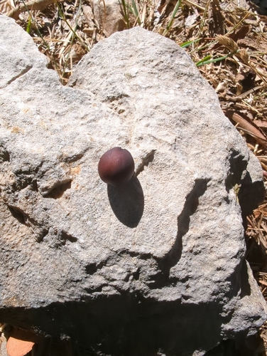
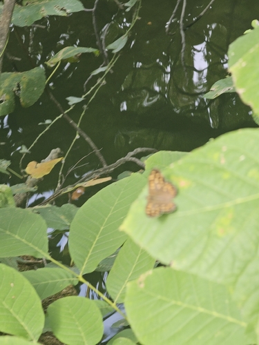
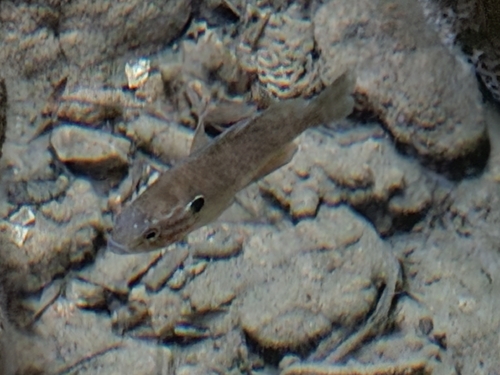
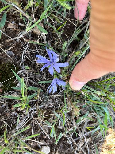

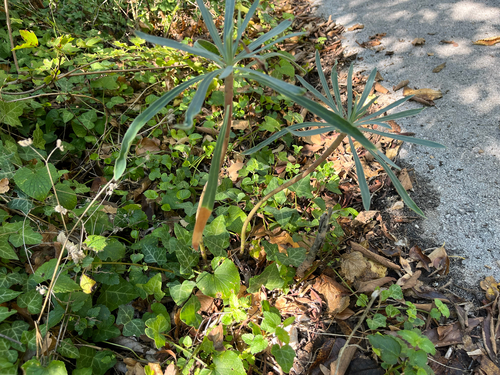
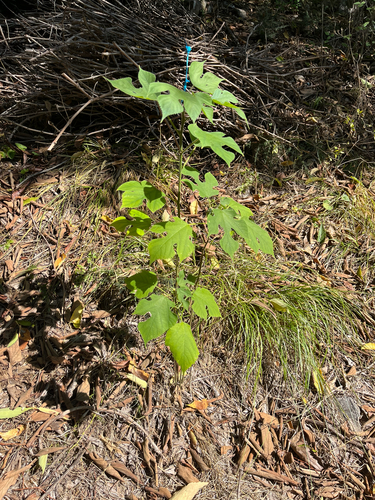
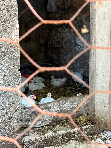
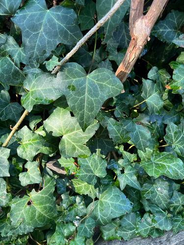
Research-grade observations from iNaturalist (within ~15 mi).
Events
Gallery
Sources
- • Wikipedia
- • Wikidata
- • iNaturalist
- • Open-Meteo / sunrise-sunset.org
- • Wikipedia Pageviews API