Browse / Croatia / Primorje-Gorski Kotar / Gerovo
Gerovo
Primorje-Gorski Kotarvillage
Total population
689
Demographic figures from Croatian Bureau of Statistics. Overview below cites Wikipedia and may reference a different year.
City facts
Facts from Wikidata (CC0).
Overview
Gerovo is a Croatian village in Primorje-Gorski Kotar County. It is connected by the D32 highway.
Read more on WikipediaHistory & geography
History
The volunteer fire department DVD Gerovo was founded in 1926, and is today part of the VZ grada Čabra. Its current commander is Robert Pajnić. It was liquidated on 20 January 1939. The local chapter of the HPS was HPD "Jelenc", which had very low activity for a time until its reconstitution in 1936 under the Josip Turk presidency. In 1937, it had 23 members who participated in expeditions to Risnjak and the source of the Kupa. Following the Hungarian Revolution of 1956 collapse, SFR Yugoslav communist authorities accepted refugees from the Hungarian People's Republic, settling them to Gerovo, Osijek, Mataruška Banja, and Niška Banja. A total of 1.735 Hungarian refugees were settled in the village. freezing rain fell on Gorski Kotar, glazing the entire region. It wrecked roofs, power lines an forests, causing power loss for about 14,000 households in Gorski Kotar, or about 80% of its population. It took about 10 days to restore essential infrastructure to the region, and within months electricity was back in most of its former range, but at a cost of about 84.4 million HRK to HEP. At the time it was the largest peacetime damage since its Secession from Yugoslavia, even without counting the forestry losses. The Šumarija Gerovo lost 43% of its wood mass. Clearing blocked forestry roads and forest paths would take years, and thanks to the declining population some were never cleared.
Geography
The NE edge of the karst polje of Gerovo is known as Ponikve because of its dolines.
Excerpted from the corresponding Wikipedia article (CC BY-SA).
Geography
Coordinates & boundaries from the US Census TIGER/Line shapefiles.
Climate
Air quality
Walkability
Amenities nearby
Wildlife & biodiversity
Earthquake history
Photos
Sights & places nearby
Notable people from here


People born within ~10 km, from Wikidata (CC0). Click any name for their Wikipedia article.
Nearby places in Primorje-Gorski Kotar
- Homer11.4 mi away · pop. 272
- Studena13.5 mi away · pop. 382
- Skrad14.1 mi away · pop. 694
- Viškovo15.6 mi away · pop. 3,602
- Hlevci16.2 mi away · pop. 17
- Pobri19.3 mi away · pop. 1,114
- Tići19.9 mi away · pop. 48
- Opatija20.4 mi away · pop. 5,701
- Lovran23.5 mi away · pop. 3,336
- Vrh32.6 mi away · pop. 846
- Lopar47.5 mi away · pop. 1,263
- Zarnevo636.3 mi away · pop. 1,300
Geography & sun
Elevation, sunrise/sunset and daylight from Open-Meteo. Solar climatology from NASA POWER.
Nearby airports
Public attention
Pageview totals from the Wikimedia Pageviews API.
Books about this place
Recent natural events nearby
Ground air-quality sensors
Recently spotted species
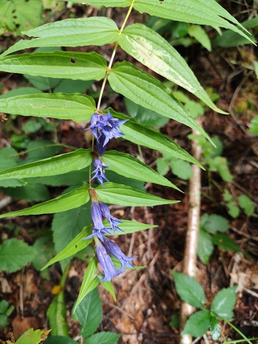
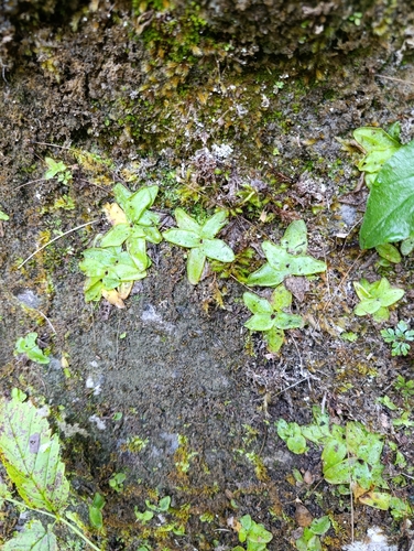
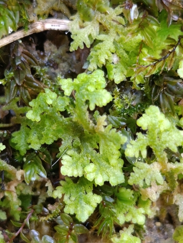
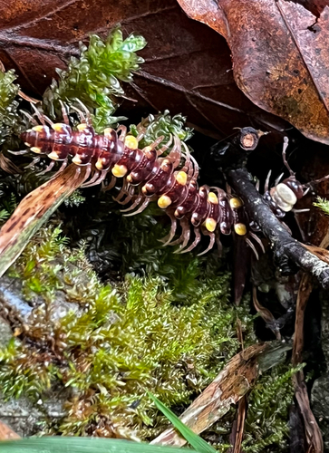
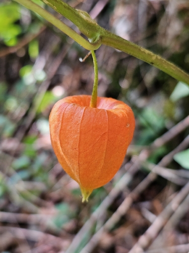
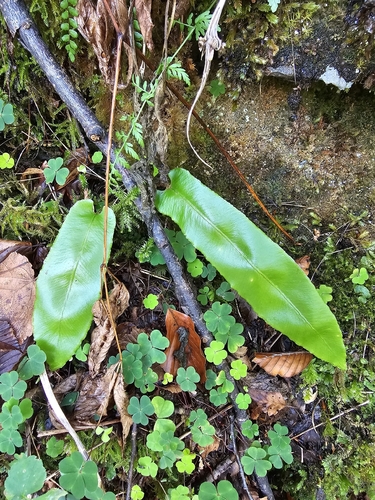
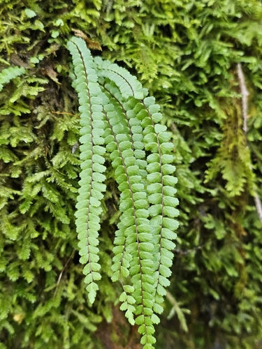
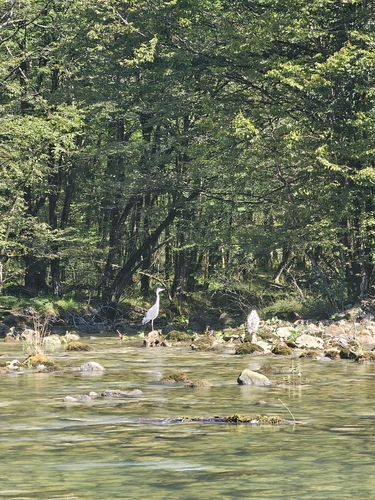
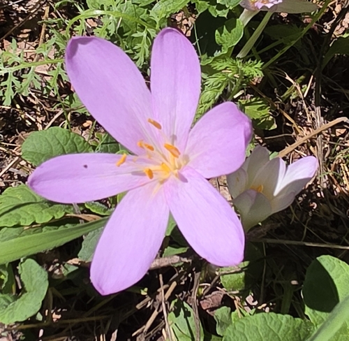
Research-grade observations from iNaturalist (within ~15 mi).
Events
Gallery
Sources
- • Wikipedia
- • Wikidata
- • iNaturalist
- • Open-Meteo / sunrise-sunset.org
- • Wikipedia Pageviews API