Browse / Croatia / Istria / Gračišće
Gračišće
Istriavillage

Gračišće
Total population
466
Demographic figures from Croatian Bureau of Statistics. Overview below cites Wikipedia and may reference a different year.
City facts
Facts from Wikidata (CC0).
Overview
Gračišće is a village and municipality of Istria County in Croatia.
Read more on WikipediaHistory & geography
History
The prehistory of Gračišće and its surroundings is poorly known. Due to its advantageous strategic position the area was almost surely settled and also played significant role already during the Bronze and Iron Age. There are just few findings located at Perunčevac, Perunovac, Osoje, Funčići, Bazgalji, with ceramics finds, and Salamunišće where a Bronze Age grave was found. In the Iron Age, Istria was settled with Illyrian tribes of Histri (west, south and central Istria) and Liburnians (in the eastern part). After centuries of armed conflicts, the war between the Roman Empire and Histri tribes (Istria is named after them) ended with the fall of Nesactium in 177 BC. From then, Istria was subjected to Roman rule and was incorporated into the Tenth region of Italy), replaced with the Venetia et Histria province at the end of the 3rd century. The inner territory of Gračišće remained confined between coastal colonies but did not belong to them. After a while it became Imperial property and in the 3rd century it came under control of the revenue officials situated in Colonia Pietas Iulia Pola (present-day Pula). The strategic position of Gračišće grew more important during and after the 3rd and 4th century, when the surrounding hills became good defending positions. After 476 West Roman Empire fell but after 30 years Justinian I restored the Eastern Roman Empire, and the Byzantine Emperors ruled in Istria until 751. In the Early Middle Ages, various 'barbarian' tribes like the Avars and the Lombards invaded Istria but remained only for brief periods, except for the Slavs who moved in from Pannonia and settled mostly in the interior. Istria became part of Francia under Charlemagne, whose son Carloman subjugated it in 788. From 803 the area was incorporated into the…
Geography
The municipality is located in the interior of the Istrian peninsula. The Gračišće village which is also the administrative centre of Gračišće municipality is located about east of the county seat Pazin, on the road to Kršan and Vozilići. It is seated on the top of the hill at an elevation of and has the overall appearance of a typical medieval Istrian town. The village stands completely under monumental protection. The old cemetery which is located in front of St. Vitus Church offers a panoramic view of inner Istria up to the Učka mountain range () in the east, as well as to the Julian Alps and the Dolomites in the north. Between Gračišće and Pićan lies a protected landscape (1475 ha, protected since 1973) with unusual geological characteristics. Diverse landscape has been formed by erosion of marl, sandstone and limestone deposits with brook valleys formed in marl and hills formed from harder limestone which dominate the surrounding landscape.
Excerpted from the corresponding Wikipedia article (CC BY-SA).
Geography
Coordinates & boundaries from the US Census TIGER/Line shapefiles.
Climate
Air quality
Walkability
Amenities nearby
Wildlife & biodiversity
Earthquake history
Photos
Sights & places nearby
Notable people from here


People born within ~10 km, from Wikidata (CC0). Click any name for their Wikipedia article.
Geography & sun
Elevation, sunrise/sunset and daylight from Open-Meteo. Solar climatology from NASA POWER.
Nearby airports
Public attention
Pageview totals from the Wikimedia Pageviews API.
Books about this place
Recent natural events nearby
Ground air-quality sensors
Recently spotted species
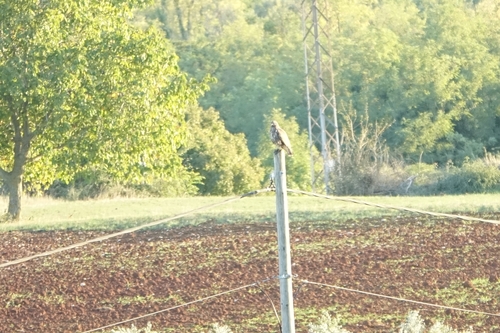
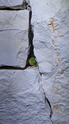
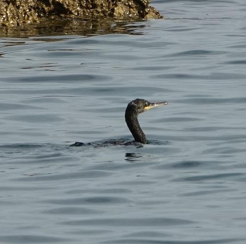
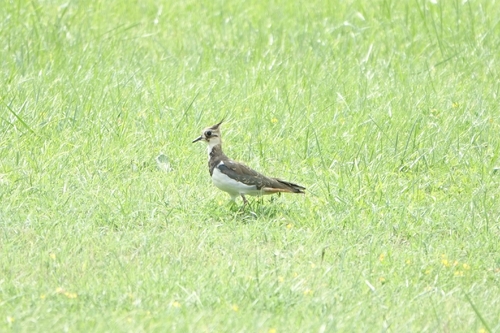
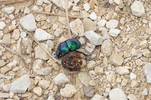
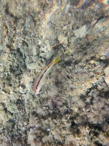
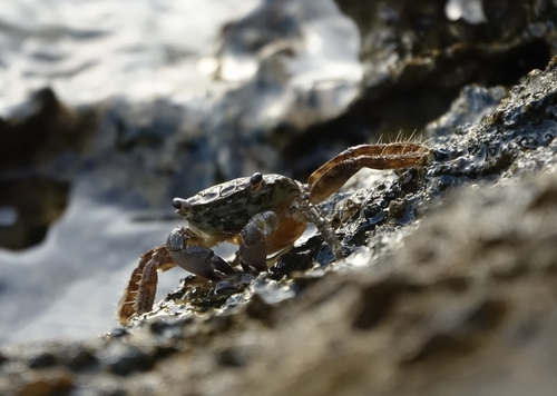
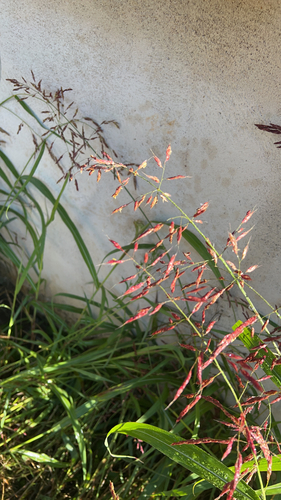
Research-grade observations from iNaturalist (within ~15 mi).
Events
Gallery
Sources
- • Wikipedia
- • Wikidata
- • iNaturalist
- • Open-Meteo / sunrise-sunset.org
- • Wikipedia Pageviews API