Browse / Croatia / Split-Dalmatia / Gradac
Gradac
Split-Dalmatiavillage

Gradac
Total population
1,308
Demographic figures from Croatian Bureau of Statistics. Overview below cites Wikipedia and may reference a different year.
City facts
Facts from Wikidata (CC0).
Overview
Gradac, is a municipality in southern Dalmatia, Croatia. It is situated halfway between Split and Dubrovnik. The town of Ploče is 12 km south of Gradac, while the town of Makarska is 42 km north.
Read more on WikipediaHistory & geography
History
The Gradac area was inhabited before prehistoric times. Numerous stone mounds dating back to the Bronze and Early Iron Ages have been found in the area. In Roman times, the Gradac area was most likely the seat of the Roman civitas Biston, which as a coastal center belonged to the colony of Narona, an important Roman stronghold on what is now Croatian territory. At the locality of Gradina a cornice fragment of the monumental building from the 2nd-3rd century was found, as well as Roman coin pieces. Near the Laguna hotel were found many tombs, hence it is thought that on this location there was once a Roman necropolis. The medieval town of Lapčan, or Labinac, which, under the name of Labineca, was mentioned by the Byzantine emperor Constantine VII Porphyrogenitus, mid-10th century, was situated on the territory of today's Gradac. Under its present name, Gradac was mentioned for the first time in 1649. It was named after the stronghold that was situated on the elevation above the present-day church of St. Michael, and which was built probably during the Cretan War (1645–1669) as a defence against the Ottoman Empire. According to the drawing made by the Venetian military engineer and cartographer Giuseppe Santini, representing the naval and continental battles between the Venetians and Ottomans at Gradac in the year 1666, the tower is shown in flames.
Excerpted from the corresponding Wikipedia article (CC BY-SA).
Geography
Coordinates & boundaries from the US Census TIGER/Line shapefiles.
Climate
Air quality
Walkability
Amenities nearby
Wildlife & biodiversity
Earthquake history
Photos
Sights & places nearby
Notable people from here


People born within ~10 km, from Wikidata (CC0). Click any name for their Wikipedia article.
Nearby places in Split-Dalmatia
- Umčani4.7 mi away · pop. 227
- Draževitići5.2 mi away · pop. 203
- Dusina5.9 mi away · pop. 494
- Kokorići5.9 mi away · pop. 161
- Kotezi6.5 mi away · pop. 278
- Vrgorac7 mi away · pop. 2,132
- Podprolog7.2 mi away · pop. 355
- Ravča7.6 mi away · pop. 154
- Orah8.6 mi away · pop. 268
- Prapatnice8.8 mi away · pop. 179
- Stilja9.8 mi away · pop. 320
- Zavojane10 mi away · pop. 308
Geography & sun
Elevation, sunrise/sunset and daylight from Open-Meteo. Solar climatology from NASA POWER.
Nearby airports
Public attention
Pageview totals from the Wikimedia Pageviews API.
Books about this place
Recent natural events nearby
Ground air-quality sensors
Recently spotted species
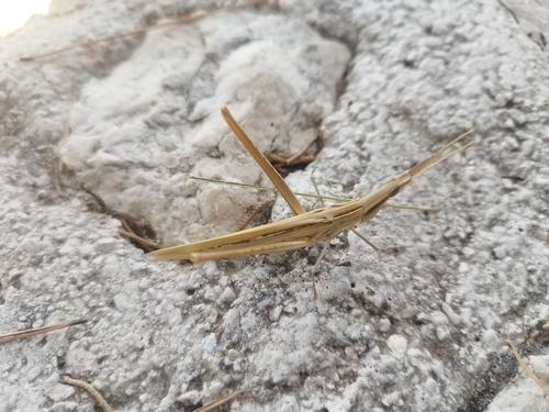
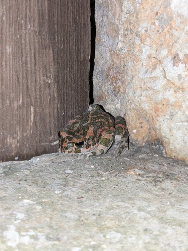
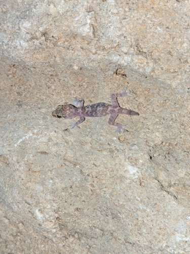
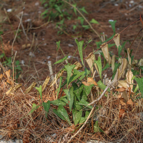
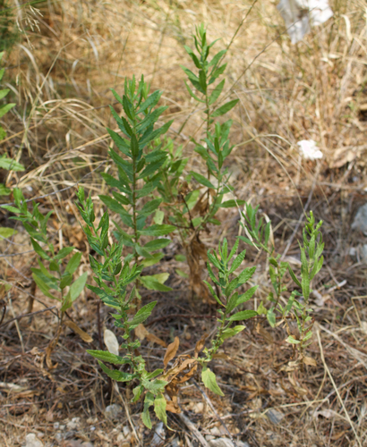
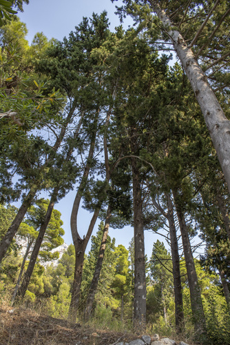
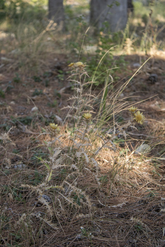
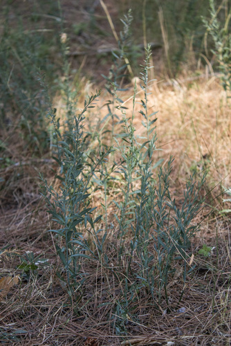
Research-grade observations from iNaturalist (within ~15 mi).
Events
Gallery
Sources
- • Wikipedia
- • Wikidata
- • iNaturalist
- • Open-Meteo / sunrise-sunset.org
- • Wikipedia Pageviews API