Browse / Croatia / Primorje-Gorski Kotar / Hajdine
Hajdine
Primorje-Gorski Kotarvillage
Total population
80
Demographic figures from Croatian Bureau of Statistics. Overview below cites Wikipedia and may reference a different year.
City facts
Facts from Wikidata (CC0).
Overview
Hajdine is a village in Croatia. It is connected by the D3 highway.
Read more on WikipediaHistory & geography
History
In 1860–1879, Matija Mažuranić wrote a 62 folio manuscript today titled Writings on the Building of Roads in Gorski Kotar and Lika (), today with signature HR-ZaNSK R 6424. A 21 folio manuscript dated 1872 titled Darstellung der Entstehung des Baues ... der Luisenstrasse togethr with a translation by I. Mikloušić is kept as HR-ZaNSK R 4572. In 1864, a rinderpest outbreak in Bosanci and Kasuni caused the Lujzijana to be closed to horned traffic for 21 days in December. On 29 May 1941, the Ustaše arrested 20 Serb and 7 Croat villagers from Jablan, Hajdine, Presika, Stubica and Tuk. All were imprisoned for 8 to 30 days and then released, only to be recaptured shortly after release. Only Ivan Štiglić, Zvonko Matijević and Jovo Stipanović survived. There was a water supply problem in Hajdine in February 2012. On 27 July 2013, there was a road accident between a motorcyclist and a vehicle at around 14:45, with the motorcyclist receiving minor injuries. Hajdine was hit by the 2014 Dinaric ice storm. On 12 December 2017, a severe wind hit Hajdine, blocking traffic to and from it. In June 2018, the Lovnik water storage unit was found to have a coliform bacteria concentration of 391/100ml, and both Escherichia coli and Enterococcus bacteria were present.
Excerpted from the corresponding Wikipedia article (CC BY-SA).
Geography
Coordinates & boundaries from the US Census TIGER/Line shapefiles.
Climate
Air quality
Walkability
Amenities nearby
Wildlife & biodiversity
Earthquake history
Photos
Sights & places nearby
Notable people from here
Geography & sun
Elevation, sunrise/sunset and daylight from Open-Meteo. Solar climatology from NASA POWER.
Nearby airports
Public attention
Pageview totals from the Wikimedia Pageviews API.
Books about this place
Recent natural events nearby
Ground air-quality sensors
Recently spotted species
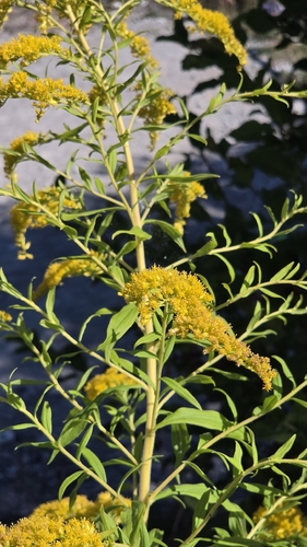
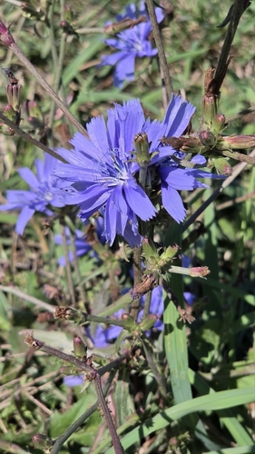
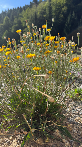
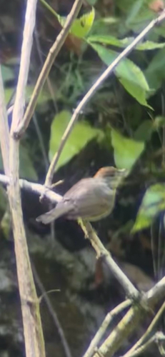
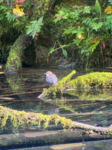
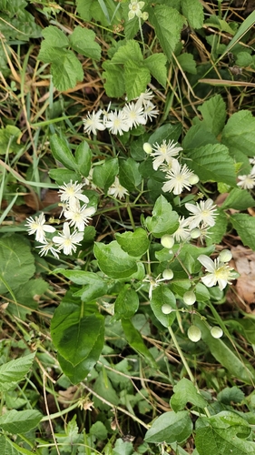
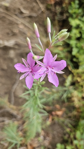
Research-grade observations from iNaturalist (within ~15 mi).
Events
Gallery
Sources
- • Wikipedia
- • Wikidata
- • iNaturalist
- • Open-Meteo / sunrise-sunset.org
- • Wikipedia Pageviews API