Browse / Croatia / Sisak-Moslavina / Hrvatska Dubica
Hrvatska Dubica
Sisak-Moslavinavillage

Hrvatska Dubica
Total population
1,040
Demographic figures from Croatian Bureau of Statistics. Overview below cites Wikipedia and may reference a different year.
City facts
Facts from Wikidata (CC0).
Overview
Hrvatska Dubica is a village and a municipality in central Croatia in the Sisak-Moslavina County. It is located on the northern bank of the river Una, east of Hrvatska Kostajnica and southwest of Jasenovac and Novska. The town of Kozarska Dubica lies to the south of the municipality, in Bosnia and Herzegovina. Hrvatska Dubica is underdeveloped municipality which is statistically classified as the First Category Area of Special State Concern by the Government of Croatia.
Read more on WikipediaHistory & geography
History
Upon the conclusion of the Treaty of Passarowitz in 1718, Dubica was to be transferred to the Habsburg monarchy. During the Croatian War of Independence, Hrvatska Dubica was located in the area contested by Serb rebels. Most of the civilians fled the area during the attacks of the Serbian forces that started in September 1991. These forces were controlled by Milan Martić, and consisted of units of Yugoslav People's Army, Territorial Defence, and the so-called Militia of SAO Krajina. Hrvatska Dubica fell on 17 September 1991. Around 7 October 1991, Serb forces took control of the entire wider area of Hrvatska Kostajnica. Most Croats fled the area or were killed by Serb forces during a subsequent campaign of ethnic cleansing, which included the infamous Baćin massacre.
Excerpted from the corresponding Wikipedia article (CC BY-SA).
Geography
Coordinates & boundaries from the US Census TIGER/Line shapefiles.
Climate
Air quality
Walkability
Amenities nearby
Wildlife & biodiversity
Earthquake history
Photos
Sights & places nearby
Notable people from here


People born within ~10 km, from Wikidata (CC0). Click any name for their Wikipedia article.
Nearby places in Sisak-Moslavina
- Baćin2.8 mi away · pop. 217
- Drenov Bok5.5 mi away · pop. 82
- Živaja5.6 mi away · pop. 309
- Višnjica5.6 mi away · pop. 144
- Šaš8.5 mi away · pop. 307
- Košutarica8.7 mi away · pop. 264
- Puska9.2 mi away · pop. 293
- Rosulje10.3 mi away · pop. 192
- Bukovica10.6 mi away · pop. 2
- Mlaka10.9 mi away
- Ivanjski Bok11.2 mi away · pop. 35
- Sigetac11.6 mi away · pop. 122
Geography & sun
Nearby airports
Public attention
Books about this place
Recent natural events nearby
Ground air-quality sensors
Recently spotted species
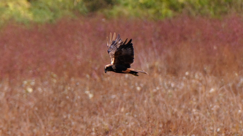
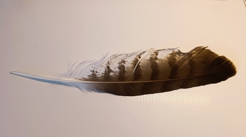
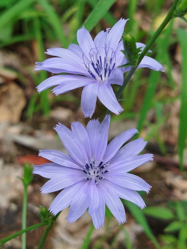
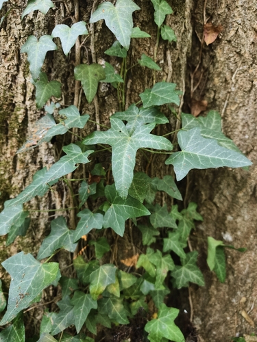
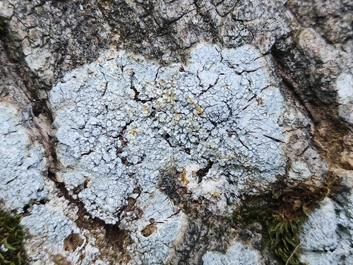
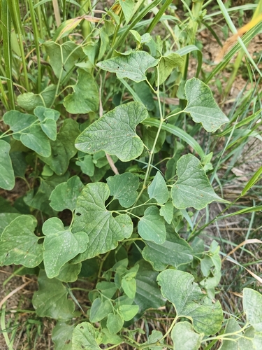
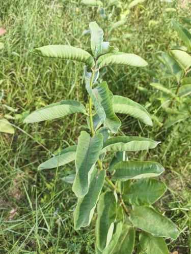
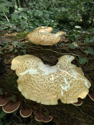
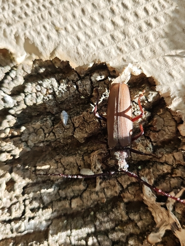
Research-grade observations from iNaturalist (within ~15 mi).
Events
Gallery
Sources
- • Wikipedia
- • Wikidata
- • iNaturalist