Browse / Croatia / Sisak-Moslavina / Hrvatska Kostajnica
Hrvatska Kostajnica
Sisak-Moslavinatown

Hrvatska Kostajnica
Total population
1,439
Demographic figures from Croatian Bureau of Statistics. Overview below cites Wikipedia and may reference a different year.
City facts
Facts from Wikidata (CC0).
Overview
Hrvatska Kostajnica, also referred to as simply Kostajnica, is a town in central Croatia. It is located on the Una river in the Sisak-Moslavina County, south of Petrinja and Sisak and across the river from Kostajnica in Bosnia and Herzegovina. In the past, Hrvatska Kostajnica was called by different names, Koztainicha, Kaztanicha to Costgnanica. The name most likely comes from the word Kostanj (chestnut).
Read more on WikipediaHistory & geography
History
Kostajnica was first mentioned in the document by knights templar from 1240. This year is used as official birth year of this historic town. Its name is derived from the word kostanj ("chestnut"), as the nearby hills around the Una river are covered with forests of chestnut trees. Time of the first settlement is unknown, but town lies on very important Roman roads that were used for transporting salt and cotton. Since Roman roads were merged in the vicinity of the city it is believed that settlement dates much earlier than the first written document known today. Position of town is very similar to the town from old Roman documents known as “Oeneum”. Five Roman milestones were located in the city dating back to the 3rd century A.D. The town was bombed by American forces on May 30, 1944. Kostajnica suffered greatly during the Croatian War of Independence. A large part of the Croatian population were expelled or killed by rebel Serbs in 1991 and the city was incorporated into the Republic of Serbian Krajina. Houses and buildings belonging to Croats were burned and looted, including the baroque church, the medieval apothecary, and the eighteenth-century Franciscan monastery. The only piece of the city's cultural heritage left was the castle by the river built by the Frankopans. Kostajnica was put back in Croatian control following military victories by the army in August 1995, and the Croat population expelled slowly began returning.
Excerpted from the corresponding Wikipedia article (CC BY-SA).
Geography
Coordinates & boundaries from the US Census TIGER/Line shapefiles.
Climate
Air quality
Walkability
Amenities nearby
Wildlife & biodiversity
Earthquake history
Photos
Sights & places nearby
Notable people from here
Nearby places in Sisak-Moslavina
- Selište Kostajničko2.4 mi away · pop. 102
- Majur2.5 mi away · pop. 324
- Rosulje2.7 mi away · pop. 192
- Stubalj3.1 mi away · pop. 186
- Donja Velešnja3.4 mi away · pop. 261
- Donji Kukuruzari4.3 mi away · pop. 297
- Gornji Kukuruzari4.3 mi away · pop. 51
- Gornja Velešnja4.5 mi away
- Veliko Krčevo4.6 mi away · pop. 79
- Kostreši Bjelovački4.8 mi away · pop. 43
- Malo Krčevo5 mi away · pop. 19
- Donji Bjelovac5.2 mi away · pop. 43
Geography & sun
Elevation, sunrise/sunset and daylight from Open-Meteo. Solar climatology from NASA POWER.
Nearby airports
Public attention
Pageview totals from the Wikimedia Pageviews API.
Books about this place
Recent natural events nearby
Ground air-quality sensors
Recently spotted species
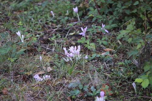
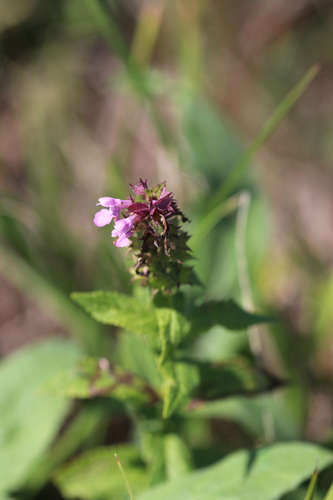
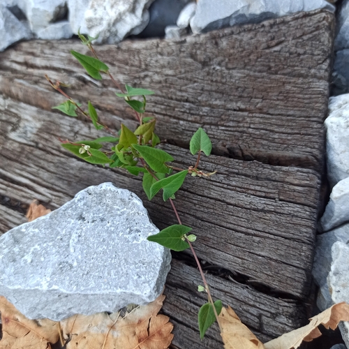
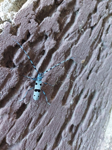
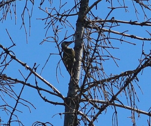
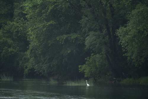
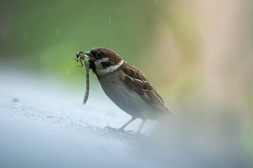
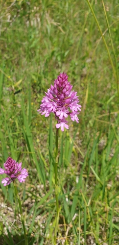
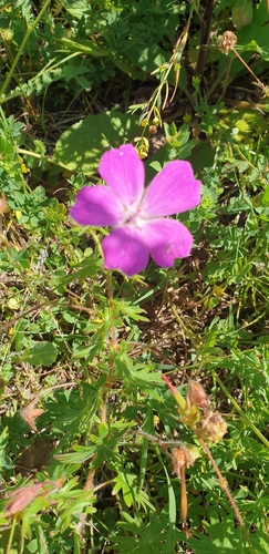
Research-grade observations from iNaturalist (within ~15 mi).
Events
Gallery
Sources
- • Wikipedia
- • Wikidata
- • iNaturalist
- • Open-Meteo / sunrise-sunset.org
- • Wikipedia Pageviews API