Browse / Croatia / Zadar / Islam Grčki
Islam Grčki
Zadarvillage

Islam Grčki
Total population
150
Demographic figures from Croatian Bureau of Statistics. Overview below cites Wikipedia and may reference a different year.
City facts
Facts from Wikidata (CC0).
Overview
Islam Grčki is a village in the municipality of Benkovac, in the Zadar County, Croatia.
Read more on WikipediaHistory & geography
History
The history of Islam Grčki goes back to the Middle Ages. The village was an Uskok stronghold in the 16th and 17th century. The most notable Uskok leader Stojan Janković got possession of the village after the Cretan War. He built the villages most notable object - the Janković Kula. During World War II the village, a Serb enclave surrounded by Croatian villages, was a firm Chetnik militia stronghold. Some villagers also joined the Italian collaborationist Anti-Communist Volunteer Militia. After World War II the village became part of the Socialist Republic of Croatia. During the Croatian war of independence the village was one of the first areas under Krajina Serb control. The village was partly destroyed by shelling during the Croatian-led Operation Maslenica and was overtaken by the Croatian forces on 22 January 1993. A big part of the villages population fled during the war and the village itself suffered a lot material damage. Janković Kula, for instance, was destroyed in the shelling of 1993 but was being rebuilt as of 2012.
Geography
Islam Grčki is located in the Ravni Kotari area, from Benkovac and from Zadar. The village is also only from the Adriatic Sea but it does not play a major role in the village's economy.
Excerpted from the corresponding Wikipedia article (CC BY-SA).
Geography
Coordinates & boundaries from the US Census TIGER/Line shapefiles.
Climate
Air quality
Walkability
Amenities nearby
Wildlife & biodiversity
Earthquake history
Photos
Sights & places nearby
Notable people from here


People born within ~10 km, from Wikidata (CC0). Click any name for their Wikipedia article.
Geography & sun
Elevation, sunrise/sunset and daylight from Open-Meteo. Solar climatology from NASA POWER.
Nearby airports
Public attention
Pageview totals from the Wikimedia Pageviews API.
Books about this place
Recent natural events nearby
Ground air-quality sensors
Recently spotted species
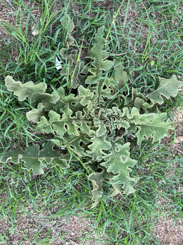
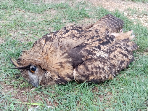
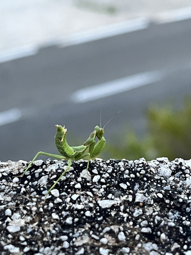
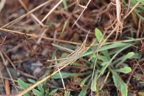
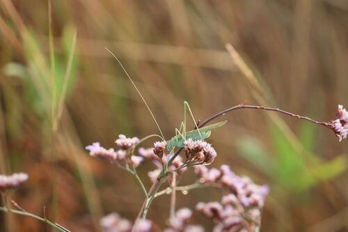
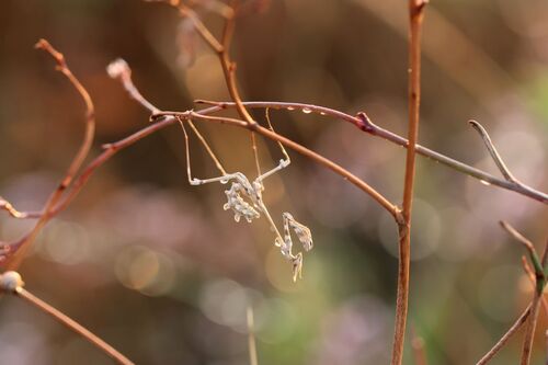
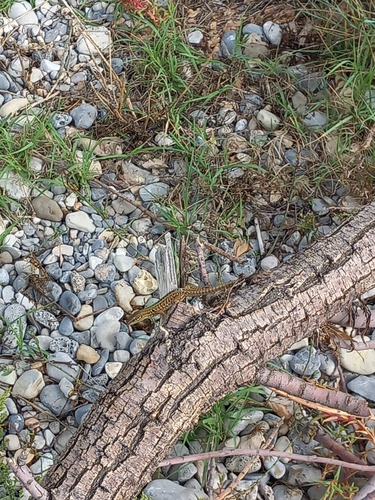
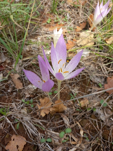
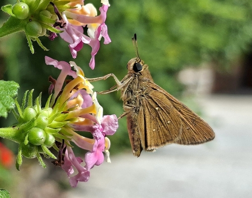
Research-grade observations from iNaturalist (within ~15 mi).
Events
Gallery
Sources
- • Wikipedia
- • Wikidata
- • iNaturalist
- • Open-Meteo / sunrise-sunset.org
- • Wikipedia Pageviews API