Browse / Croatia / Zagreb County / Ivanić-Grad
Ivanić-Grad
Zagreb Countytown

Ivanić-Grad
Total population
8,452
Air quality index
Demographic figures from Croatian Bureau of Statistics. Overview below cites Wikipedia and may reference a different year.
City facts
Facts from Wikidata (CC0).
Overview
Ivanić-Grad or Ivanić Grad is a town in Zagreb County, Croatia.
Read more on WikipediaHistory & geography
History
Ivanić-Grad was a border post between the Habsburg monarchy and the Ottoman Empire. In Habsburg Latin sources, it was known as Iwanych. Until 1918, Ivanić-Grad was part of the Austrian monarchy (Kingdom of Croatia-Slavonia after the compromise of 1867), in the Croatian Military Frontier.
Geography
Ivanić-Grad is located south-east from Zagreb, connected: * by highway A3 (Bregana-Zagreb-Ivanić-Grad-Slavonski Brod-Lipovac) * by train on direction Zagreb - Slavonski Brod - Vinkovci. It is on the border of Moslavina and Posavina.
Excerpted from the corresponding Wikipedia article (CC BY-SA).
Geography
Coordinates & boundaries from the US Census TIGER/Line shapefiles.
Climate
Air quality
Current readings from Open-Meteo Air Quality API (Copernicus CAMS European reanalysis).
Walkability
Amenities nearby
Wildlife & biodiversity
Most-observed species
- Common BuzzardButeo buteo (Linnaeus, 1758) · Aves511
- Gray/Purple HeronArdea cinerea Linnaeus, 1758 · Aves395
- Great TitParus major Linnaeus, 1758 · Aves372
- Common ChaffinchFringilla coelebs Linnaeus, 1758 · Aves364
- Common RavenCorvus corax Linnaeus, 1758 · Aves362
- MallardAnas platyrhynchos Linnaeus, 1758 · Aves344
- Eurasian Tree SparrowPasser montanus (Linnaeus, 1758) · Aves304
- Hooded CrowCorvus cornix Linnaeus, 1758 · Aves301
Citizen-science & research observations from the Global Biodiversity Information Facility (GBIF).
Earthquake history
Most recent
- M 4.4 — 2025-02-250 km WSW of Sisak, Croatia
- M 4.1 — 2024-08-135 km W of Rasinja, Croatia
- M 3.8 — 2024-05-011 km SW of Rakovica, Croatia
- M 2.9 — 2024-03-072 km E of Zagreb, Croatia
- M 3.7 — 2022-08-016 km WNW of Petrinja, Croatia
- M 4 — 2022-07-247 km WNW of Petrinja, Croatia
Events from the USGS Earthquake Catalog (global) (FDSN Event Web Service).
Photos
Sights & places nearby
Notable people from here


People born within ~10 km, from Wikidata (CC0). Click any name for their Wikipedia article.
Nearby places in Zagreb County
- Ščapovec2.9 mi away · pop. 166
- Sobočani3.5 mi away · pop. 460
- Graberje Ivanićko3.8 mi away · pop. 664
- Topolje4.3 mi away · pop. 112
- Širinec5.2 mi away · pop. 256
- Velika Hrastilnica5.7 mi away · pop. 166
- Donja Obreška6.2 mi away · pop. 130
- Gornji Prnjarovec6.7 mi away · pop. 369
- Šušnjari6.9 mi away · pop. 133
- Novoselec7.8 mi away · pop. 1,362
- Velika Ostrna8 mi away · pop. 1,271
- Donji Marinkovac8.1 mi away · pop. 95
Geography & sun
Elevation, sunrise/sunset and daylight from Open-Meteo. Solar climatology from NASA POWER.
Nearby airports
Public attention
Pageview totals from the Wikimedia Pageviews API.
Books about this place
Recent natural events nearby
Ground air-quality sensors
Recently spotted species
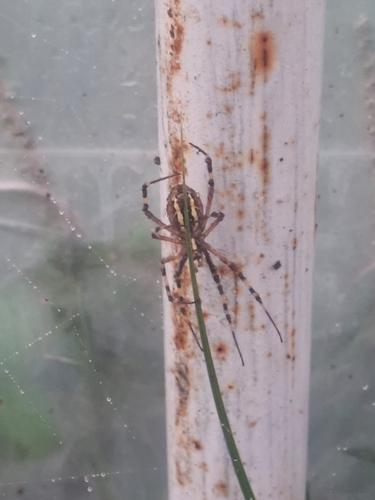
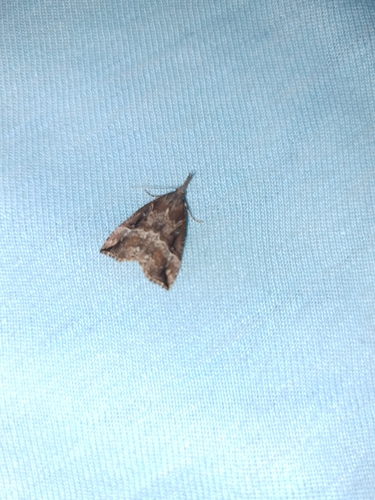
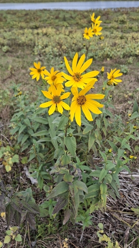
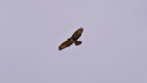
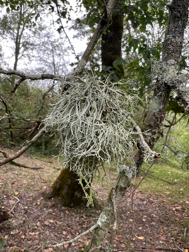
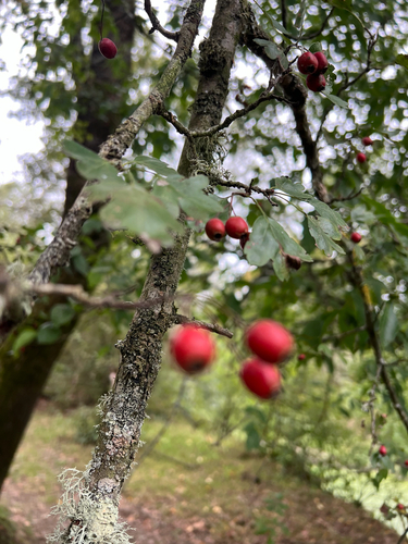

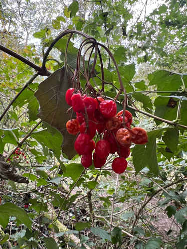
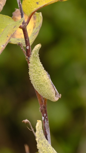
Research-grade observations from iNaturalist (within ~15 mi).
Events
Gallery
Sources
- • Wikipedia
- • Wikidata
- • Open-Meteo Air Quality (CAMS)
- • USGS Earthquake Catalog (global feed)
- • GBIF (Global Biodiversity Information Facility)
- • iNaturalist
- • Open-Meteo / sunrise-sunset.org
- • Wikipedia Pageviews API