Browse / Croatia / Primorje-Gorski Kotar / Jadranovo
Jadranovo
Primorje-Gorski Kotarvillage
Total population
1,224
Demographic figures from Croatian Bureau of Statistics. Overview below cites Wikipedia and may reference a different year.
City facts
Facts from Wikidata (CC0).
Overview
Jadranovo is a small coastal town in the northern coast of Croatia. Tourism here has flourished due to its proximity to Crikvenica.
Read more on WikipediaHistory & geography
History
The favorable climate of Jadranovo attracted early settlers, with earliest traces of settlements in the area dating back to 6500 BC - 4000 BC. The archeological site at the Bay of Lokvišće includes ruins of walls that were in use from Antiquity until the 17th century. A large number of broken amphorae dating from the 3rd century BC to the 1st century BC were also found in the area. This indicates that Lokvišće was likely a small port with warehouses for the production and storage of wine and olive oil. In the 8th and 9th Century this area was populated by Croats, from the northern region of Dalmatia. The site of today's Jadranovo was named St. James (Sveti Jakov) on a map of Iacoppa de Giroldisa in the year 1426. In the Middle Ages, Jadranovo was a coastal estate and port of the castle of Drivenik municipality. On June 14, 1952, the name Sv. Jakov – Šiljevica was abolished. In a referendum in 1954 the new name Jadranovo was chosen (other proposed names were: Ribarevo, Lovorovo, Zidarevo, Radenovo). The inhabitants were continued to be referred to as Jakovari even after the name change to Jadranovo. The last two days of November 2008, the maximum wave height as recorded at nearby Bakar reached a record. Little rain fell, but the city was flooded anyway thanks to a strong sirocco wind. Firefighters had to pump water from basements and the HEP had to repair broken power lines. Some of the Jadranovo's beaches lost all their sand during the storm.
Geography
Jadranovo is at approximately 45°10′N 14°41′E. This is 8 km from Crikvenica and 26 km from Rijeka. Jadranovo is on the sunny northern Adriatic coast and is divided into two parts by a small peninsula. This peninsula contains the Bay of Lokvišće.
Excerpted from the corresponding Wikipedia article (CC BY-SA).
Geography
Coordinates & boundaries from the US Census TIGER/Line shapefiles.
Climate
Air quality
Walkability
Amenities nearby
Wildlife & biodiversity
Most-observed species
- Yellow-legged GullLarus michahellis J.F.Naumann, 1840 · Aves1,985
- Eurasian BlackbirdTurdus merula Linnaeus, 1758 · Aves1,733
- House SparrowPasser domesticus (Linnaeus, 1758) · Aves1,472
- Hooded CrowCorvus cornix Linnaeus, 1758 · Aves1,450
- Rock PigeonColumba livia J.F.Gmelin, 1789 · Aves1,441
- Eurasian Collared-DoveStreptopelia decaocto (Frivaldszky, 1838) · Aves1,274
- Great TitParus major Linnaeus, 1758 · Aves1,005
- Eurasian JayGarrulus glandarius (Linnaeus, 1758) · Aves642
Citizen-science & research observations from the Global Biodiversity Information Facility (GBIF).
Earthquake history
Photos
Sights & places nearby
Notable people from here


People born within ~10 km, from Wikidata (CC0). Click any name for their Wikipedia article.
Nearby places in Primorje-Gorski Kotar
- Bakar6.8 mi away · pop. 1,187
- Homer10.8 mi away · pop. 272
- Vrh12.9 mi away · pop. 846
- Viškovo15.3 mi away · pop. 3,602
- Sroki16 mi away · pop. 1,979
- Opatija16.8 mi away · pop. 5,701
- Draga Bašćanska17 mi away · pop. 253
- Lovran17.1 mi away · pop. 3,336
- Pobri17.1 mi away · pop. 1,114
- Kraj17.3 mi away · pop. 98
- Studena17.6 mi away · pop. 382
- Mošćenice17.9 mi away · pop. 301
Geography & sun
Elevation, sunrise/sunset and daylight from Open-Meteo. Solar climatology from NASA POWER.
Nearby airports
Public attention
Pageview totals from the Wikimedia Pageviews API.
Books about this place
Recent natural events nearby
Ground air-quality sensors
Recently spotted species
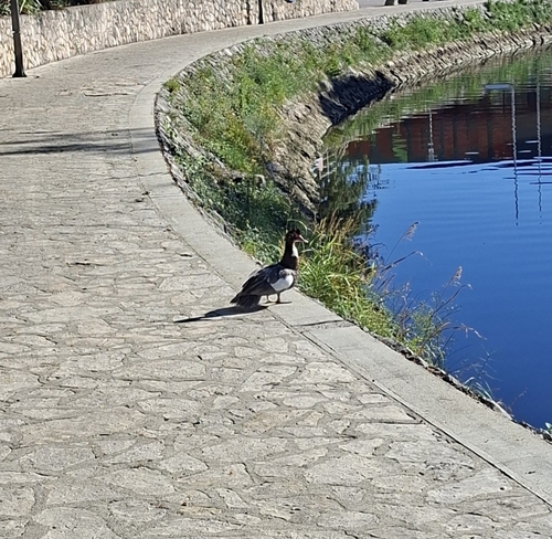
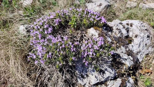
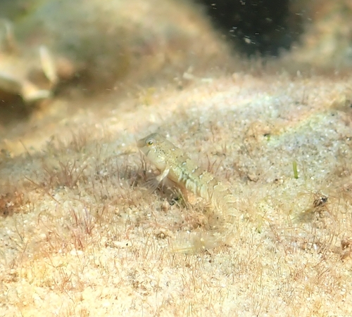
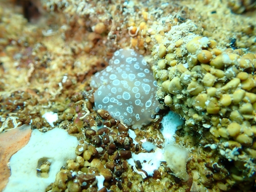
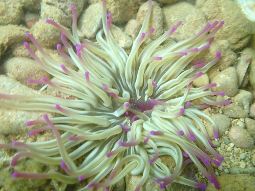
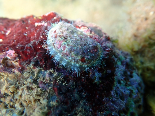
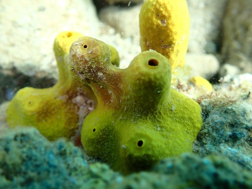
Research-grade observations from iNaturalist (within ~15 mi).
Events
Gallery
Sources
- • Wikipedia
- • Wikidata
- • GBIF (Global Biodiversity Information Facility)
- • iNaturalist
- • Open-Meteo / sunrise-sunset.org
- • Wikipedia Pageviews API