Browse / Croatia / Split-Dalmatia / Kaštel Novi
Kaštel Novi
Split-Dalmatiavillage

Kaštel Novi
Total population
6,507
Demographic figures from Croatian Bureau of Statistics. Overview below cites Wikipedia and may reference a different year.
City facts
Facts from Wikidata (CC0).
Overview
Kaštel Novi is a settlement within the town of Kaštela in Dalmatia, Croatia. Its name means new castle.
Read more on WikipediaHistory & geography
History
Kaštel Novi was founded in 1512. The Fortified village of Cippico-after the fall of Bosnia in 1463, Dalmatia, which was at the time part of the Venetian Republic, faced danger from the Ottoman invaders. In 1537, Klis fell under their administration, and the Kastela field was exposed to their frequent inclusions. From the end of the 15th century until the 17th century, landowners between Split and Togir-the Split archbishopric, the Benedictine monastery as well as the noblemen of Trogir and Split, built seventeen forts and twelve fortified villages wishing to protect their land and people. it is after these forts citadels that the entire area was named Kastela (Citadels). In the beginning of the 16th century, Pavao Antun Cippico, a nobleman from Trogir and nephew of Kariolan Cippico, built a tower on the rocks. the fortified village of citadel Cippico was first mentioned in 1515. It developed on the filled in area north of the tower. The village was fortified by a defensive wall on the east, north and west with towers on the northeastern and northwestern corners. The village walls were about 7 metre high and originally had a wooden walkway. The contours of the walls have been preserved in the walls of the houses. The fortified village had one exit-the northern gate that was accessed over the stone bridge onto which a drawbridge was lowered. Following the end of the dangers, the village spread outside of the walls, the area in front of the citadel was filled in which is how 'Brce' developed, an urban type village square with a baroque monumental building of the Fraternity of St Peter built in the 18th century. At the end of the 19th century, a marina developed in front of the village. The Katalinic family built storage warehouses by the tower, on the shore. The Parish…
Excerpted from the corresponding Wikipedia article (CC BY-SA).
Geography
Coordinates & boundaries from the US Census TIGER/Line shapefiles.
Climate
Air quality
Walkability
Amenities nearby
Wildlife & biodiversity
Most-observed species
- Yellow-legged GullLarus michahellis J.F.Naumann, 1840 · Aves911
- Hooded CrowCorvus cornix Linnaeus, 1758 · Aves734
- Rock PigeonColumba livia J.F.Gmelin, 1789 · Aves609
- House SparrowPasser domesticus (Linnaeus, 1758) · Aves549
- Eurasian BlackbirdTurdus merula Linnaeus, 1758 · Aves447
- Black-headed GullChroicocephalus ridibundus (Linnaeus, 1766) · Aves432
- Common SwiftApus apus (Linnaeus, 1758) · Aves412
- Barn SwallowHirundo rustica Linnaeus, 1758 · Aves348
Citizen-science & research observations from the Global Biodiversity Information Facility (GBIF).
Earthquake history
Most recent
- M 4.1 — 2026-05-2513 km NNW of Hrvace, Croatia
- M 3.7 — 2026-03-041 km E of Drniš, Croatia
- M 3.9 — 2026-02-238 km NW of Vitina, Bosnia and Herzegovina
- M 4.3 — 2026-02-176 km NNW of Zabrišće, Bosnia and Herzegovina
- M 3.8 — 2023-12-275 km N of Grohote, Croatia
- M 2.7 — 2023-12-273 km SSE of Okrug Gornji, Croatia
Events from the USGS Earthquake Catalog (global) (FDSN Event Web Service).
Photos
Sights & places nearby
Notable people from here


People born within ~10 km, from Wikidata (CC0). Click any name for their Wikipedia article.
Nearby places in Split-Dalmatia
- Kaštel Štafilić0.8 mi away · pop. 2,822
- Kaštel Lukšić1.2 mi away · pop. 5,221
- Kaštel Kambelovac2.1 mi away · pop. 5,051
- Kaštel Gomilica3 mi away · pop. 4,699
- Slatine3.5 mi away · pop. 924
- Mastrinka3.8 mi away · pop. 837
- Radošić4.2 mi away
- Vučevica5 mi away · pop. 56
- Okrug Gornji5.4 mi away · pop. 3,081
- Seget Donji6 mi away · pop. 2,681
- Lećevica6.3 mi away · pop. 218
- Vranjic6.3 mi away · pop. 1,064
Geography & sun
Elevation, sunrise/sunset and daylight from Open-Meteo. Solar climatology from NASA POWER.
Nearby airports
Public attention
Pageview totals from the Wikimedia Pageviews API.
Books about this place
Recent natural events nearby
Ground air-quality sensors
Recently spotted species
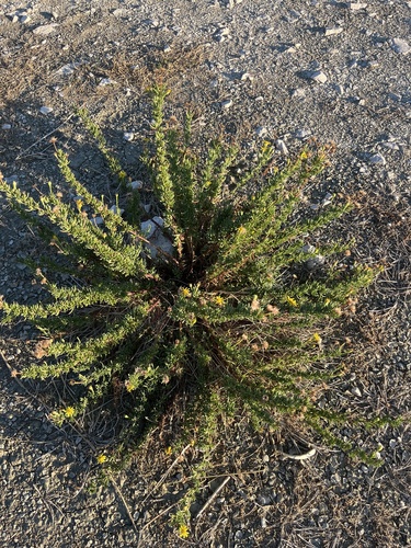
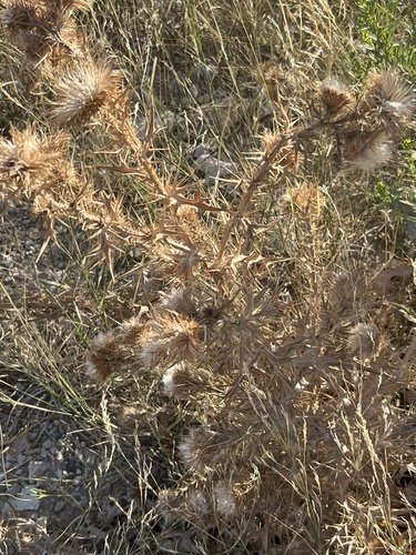
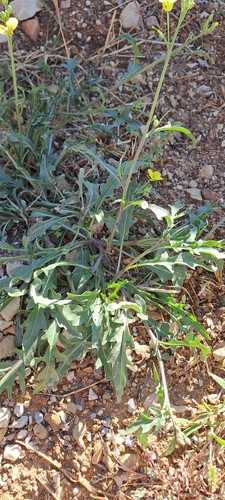
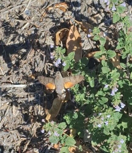
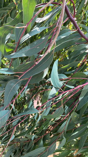
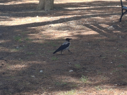
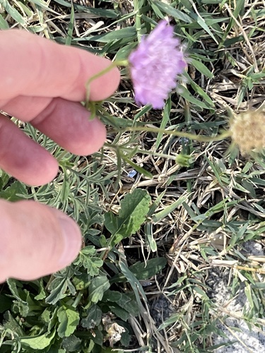
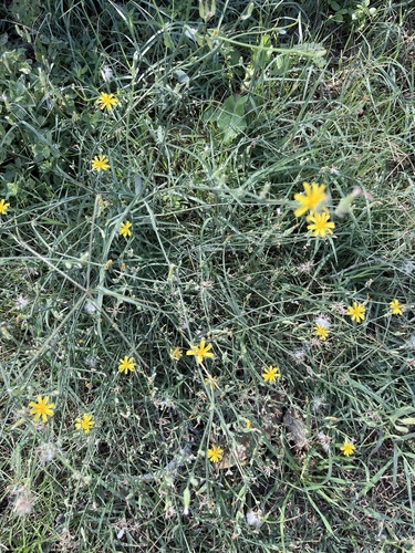
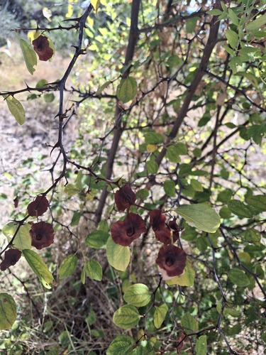
Research-grade observations from iNaturalist (within ~15 mi).
Events
Gallery
Sources
- • Wikipedia
- • Wikidata
- • USGS Earthquake Catalog (global feed)
- • GBIF (Global Biodiversity Information Facility)
- • iNaturalist
- • Open-Meteo / sunrise-sunset.org
- • Wikipedia Pageviews API