Browse / Croatia / Split-Dalmatia / Kaštela
Kaštela
Split-Dalmatiatown

Kaštela
Total population
37,794
Demographic figures from Croatian Bureau of Statistics. Overview below cites Wikipedia and may reference a different year.
City facts
Sister cities
Facts from Wikidata (CC0).
Overview
Kaštela is a town and a suburb of Split in Dalmatia, Croatia. The town is an agglomeration of seven individual settlements which are administered as a single municipality, with populations individually ranging from 3,000 to 7,000 residents. The town is located northwest of Split proper, west of Solin and east of Trogir, on the central Dalmatian coast. With a total population of 37,794 as of 2021 census, it is the 14th largest town in the country.
Read more on WikipediaHistory & geography
History
In the area of today's Kaštela, in the Early Iron Age – from the 9th to the 5th century BC. – the first Illyrian settlements (fortresses) were established in the area of Biranj, Luko and Ostrožine. Traces of life in the Kaštela area can be found as early as prehistoric times, as evidenced by the sources from Mujina cave, which is located in a mountainous area above Plano on the way to Prgomet. Prehistoric man settled in this area and then he found enough fertile soil and drinking water here. From the 1st century BC they were under Roman Empire rule, when a large number of summer houses (villae rusticae) were built for the needs of Roman veterans; the remains of the Siculi settlement near Resnik have been preserved from that period. A large number of buildings date from the early Christian and early Croatian periods; the remains of churches and buildings of early Croatian rulers have been found at the sites of Bijaći, Putalj, Kozice, Lažane, Ostrog and Sv. Petar od Klobučac. The local population came into contact with the Greeks already present in Trogir, their culture and art. The area of the Resnik port bears witness to the trade between the Greeks, as numerous artifacts from the Hellenistic period have been found there. In the Middle Ages, the area of Kaštela Field, as an integral part of the royal estate (territorium regale), was included in the communal estate of Split and Trogir by royal grants, and became the subject of numerous disputes between these two cities. From 1420, together with the rest of the Dalmatian coast, it was included in the territory of the Venetian Republic. From the end of the 14th century nobles from nearby towns built sixteen fortress-palaces to defend against the Ottomans; around seven of them, settlements formed, consisting of…
Geography
The town of Kaštela is located in Dalmatia region, in Kaštelanski zaljev (Kaštela bay), between the city of Trogir on the west and Solin on the east, or the island of Čiovo and Marjan hill (780 m), underneath the Kozjak mountain. It stretches for approximately 20 km and it consists of following settlements (from Trogir to Solin): *Kaštel Štafilić (2,822) *Kaštel Novi (6,507) *Kaštel Stari (6,950) *Kaštel Lukšić (5,221) *Kaštel Kambelovac (5,051) *Kaštel Gomilica (4,699) *Kaštel Sućurac (6,544) Kaštela is an urbanized area with a rich agricultural environment (vines, fruits, vegetables, flowers), developed industry (cement, chemical industry) and tourism. Split Airport is located in the western part of Kaštela (in Kaštel Štafilić).
Excerpted from the corresponding Wikipedia article (CC BY-SA).
Geography
Coordinates & boundaries from the US Census TIGER/Line shapefiles.
Climate
Air quality
Walkability
Amenities nearby
Wildlife & biodiversity
Earthquake history
Photos
Sights & places nearby
Notable people from here


People born within ~10 km, from Wikidata (CC0). Click any name for their Wikipedia article.
Nearby places in Split-Dalmatia
- Kaštel Kambelovac0.9 mi away · pop. 5,051
- Kaštel Štafilić2.2 mi away · pop. 2,822
- Radošić4.6 mi away
- Mastrinka5.1 mi away · pop. 837
- Vranjic5.2 mi away · pop. 1,064
- Veliki Bročanac5.6 mi away · pop. 159
- Solin6.1 mi away · pop. 20,996
- Okrug Gornji6.6 mi away · pop. 3,081
- Konjsko7.3 mi away · pop. 283
- Seget Donji7.4 mi away · pop. 2,681
- Mravince7.7 mi away · pop. 1,717
- Seget Gornji7.8 mi away · pop. 136
Geography & sun
Elevation, sunrise/sunset and daylight from Open-Meteo. Solar climatology from NASA POWER.
Nearby airports
Public attention
Pageview totals from the Wikimedia Pageviews API.
Books about this place
Recent natural events nearby
Ground air-quality sensors
Recently spotted species
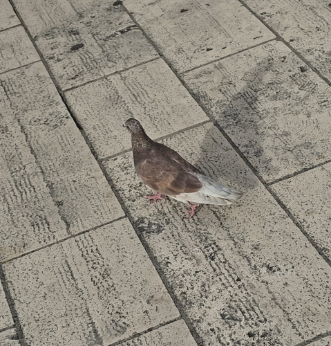
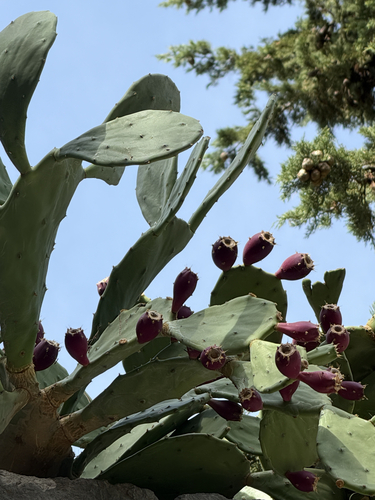
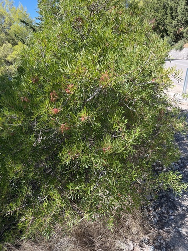
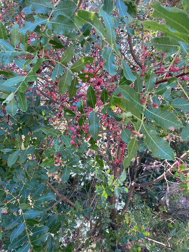
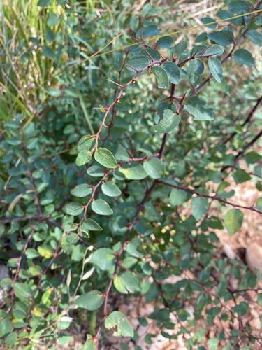
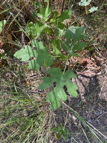
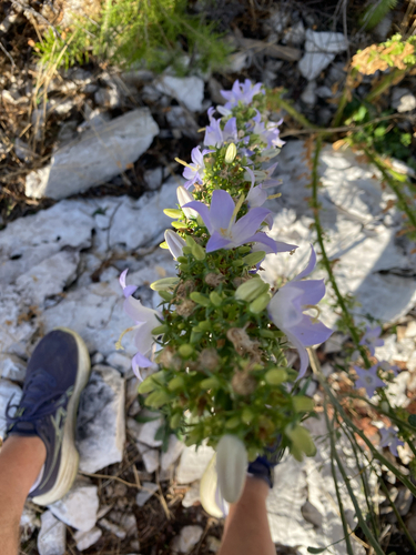
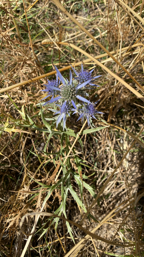
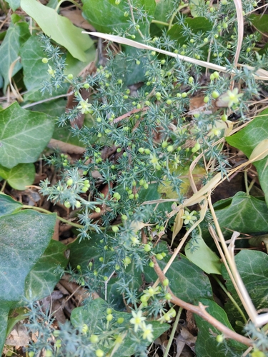
Research-grade observations from iNaturalist (within ~15 mi).
Events
Gallery
Sources
- • Wikipedia
- • Wikidata
- • iNaturalist
- • Open-Meteo / sunrise-sunset.org
- • Wikipedia Pageviews API