Browse / Croatia / Zagreb County / Kerestinec
Kerestinec
Zagreb Countyvillage
Total population
1,433
Demographic figures from Croatian Bureau of Statistics. Overview below cites Wikipedia and may reference a different year.
City facts
Facts from Wikidata (CC0).
Overview
Kerestinec is a village (naselje) west of Zagreb, in the Sveta Nedelja, Zagreb County municipality, infamous for events in Croatian history. It has 1,433 inhabitants living on an area of 4.71 square kilometers (1.82 sq mi).
Read more on WikipediaHistory & geography
History
The name of Kerestinec comes from Hungarian word kereszt which stands for "cross". According to historical sources, there was a wooden chapel of Holy Cross near the Erdödy castle, Kerestinec. Since the Erdődys were a Croatian-Hungarian noble family, a lot of Hungarian words were used in that time, and this is why Kerestinec bears such a name. On 6 February 1573, during the Croatian and Slovenian peasant revolt, government forces led by podban (deputy viceroy) of Croatia, Gašpar Alapić, defeated rebels in a battle near Kerestinec. The Kerestinec prison gained infamy during World War II and then again during the Yugoslav Wars.
Excerpted from the corresponding Wikipedia article (CC BY-SA).
Geography
Coordinates & boundaries from the US Census TIGER/Line shapefiles.
Climate
Air quality
Walkability
Amenities nearby
Wildlife & biodiversity
Earthquake history
Photos
Sights & places nearby
Notable people from here


People born within ~10 km, from Wikidata (CC0). Click any name for their Wikipedia article.
Nearby places in Zagreb County
- Jagnjić Dol1 mi away · pop. 486
- Žitarka1.1 mi away · pop. 239
- Mala Gorica1.2 mi away · pop. 623
- Novaki1.4 mi away · pop. 2,091
- Srebrnjak1.4 mi away · pop. 128
- Svetonedeljski Breg2.1 mi away · pop. 177
- Gornji Stupnik2.3 mi away · pop. 2,003
- Molvice2.3 mi away · pop. 642
- Hrastina Samoborska3.6 mi away · pop. 837
- Sveti Martin pod Okićem3.6 mi away · pop. 258
- Vrbovec Samoborski3.7 mi away · pop. 271
- Konšćica3.7 mi away · pop. 289
Geography & sun
Elevation, sunrise/sunset and daylight from Open-Meteo. Solar climatology from NASA POWER.
Nearby airports
Public attention
Pageview totals from the Wikimedia Pageviews API.
Books about this place
Recent natural events nearby
Ground air-quality sensors
Recently spotted species

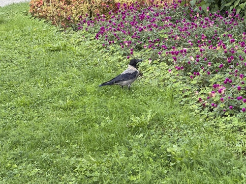
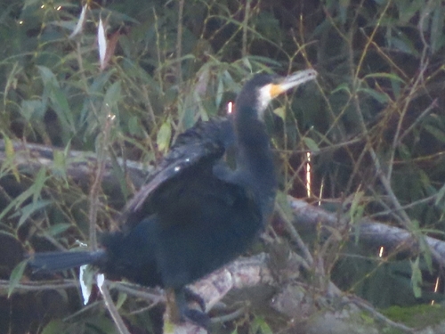
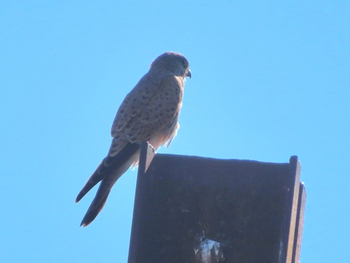
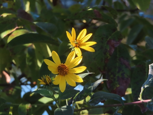
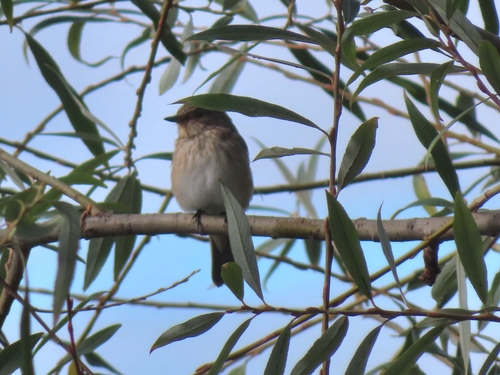
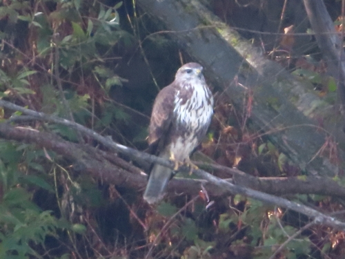
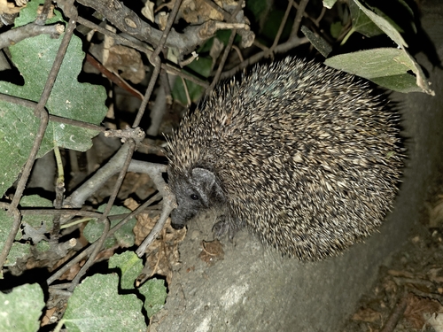
Research-grade observations from iNaturalist (within ~15 mi).
Events
Gallery
Sources
- • Wikipedia
- • Wikidata
- • iNaturalist
- • Open-Meteo / sunrise-sunset.org
- • Wikipedia Pageviews API