Browse / Croatia / Krapina-Zagorje / Klanjec
Klanjec
Krapina-Zagorjetown

Klanjec
Total population
506
Demographic figures from Croatian Bureau of Statistics. Overview below cites Wikipedia and may reference a different year.
City facts
Facts from Wikidata (CC0).
Overview
Klanjec is a small town in northwestern Croatia, in the region of Hrvatsko Zagorje on the border with Slovenia.
Read more on WikipediaHistory & geography
History
Klanjec was founded as a suburb of the Cesargrad fortress. Cesargrad was first mentioned in sources in 1399. Klanjec first appears in historical documents in 1463, and the settlement got its name because of its location - at the entrance to the Zelenjak gorge (klanac). Eventually, Cesargrad came into the ownership of Toma Bakač Erdody. During the peasant uprisings of 1573, the fortress was first damaged when the commander of the peasant army, Ilija Gregorić, set it on fire. The development of the town was accelerated by the construction of the Franciscan monastery with the Church of the Annunciation of the Blessed Virgin Mary, which was built by Sigismund and Nikola Erdody. As part of Varaždin County, it became the seat of a sub-county in 1851, and of a district in 1854. At the end of the 19th century, Klanjec had a population of slightly less than 700, had the status of a market town, and was still the seat of the district and the district court. In October 1886, through the efforts of the district judge Albert Jakopović, a reading room was founded in Klanjec. It operated until 1907, when the Reading Room of the Croatian Falcon was founded.
Excerpted from the corresponding Wikipedia article (CC BY-SA).
Geography
Coordinates & boundaries from the US Census TIGER/Line shapefiles.
Climate
Air quality
Walkability
Amenities nearby
Wildlife & biodiversity
Earthquake history
Photos
Sights & places nearby
Notable people from here
Geography & sun
Elevation, sunrise/sunset and daylight from Open-Meteo. Solar climatology from NASA POWER.
Nearby airports
Public attention
Pageview totals from the Wikimedia Pageviews API.
Books about this place
Recent natural events nearby
Ground air-quality sensors
Recently spotted species
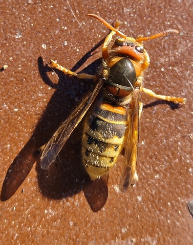
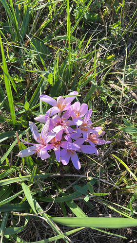
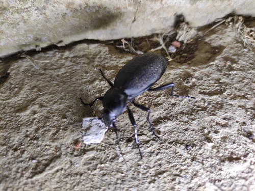
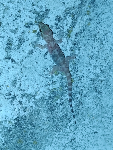
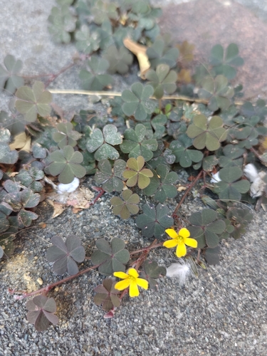
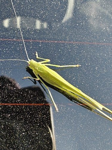
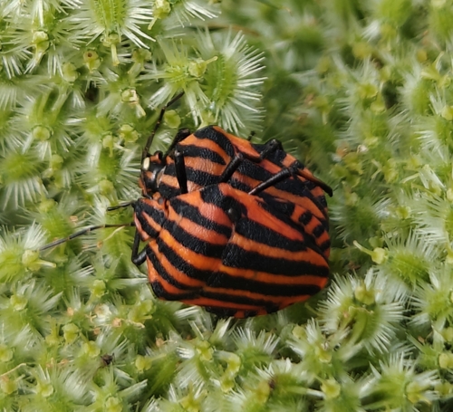
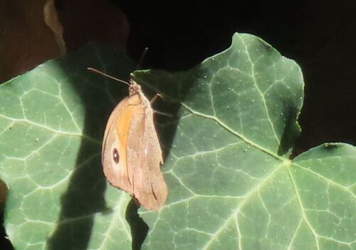
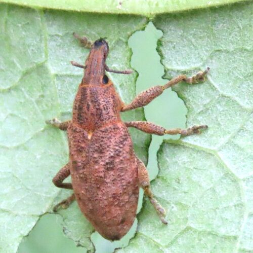
Research-grade observations from iNaturalist (within ~15 mi).
Events
Gallery
Sources
- • Wikipedia
- • Wikidata
- • iNaturalist
- • Open-Meteo / sunrise-sunset.org
- • Wikipedia Pageviews API