Browse / Croatia / Osijek-Baranja / Kneževi Vinogradi
Kneževi Vinogradi
Osijek-Baranjavillage

Kneževi Vinogradi
Total population
1,332
Demographic figures from Croatian Bureau of Statistics. Overview below cites Wikipedia and may reference a different year.
City facts
Facts from Wikidata (CC0).
Overview
Kneževi Vinogradi is a village and municipality in Croatia. It is situated in the Osijek-Baranja County, on the southern slopes of Bansko Brdo, 11 km southeast of Beli Manastir. It lies at an altitude of 103 m. Chief occupations of villagers include farming, viticulture, livestock breeding and dairy industry. At the time of 2011 census, Kneževi Vinogradi was the only municipality in Croatia with a relative majority of Hungarians of Croatia.
Read more on WikipediaHistory & geography
History
During the Croatian War of Independence the village became a part of the self proclaimed SAO Eastern Slavonia, Baranja and Western Syrmia. At the time of Operation Medak Pocket local population led by women organized resistance to mobilization of their husbands who were to be sent to Knin, capital of the self-proclaimed Republic of Serbian Krajina. The group shouted paroles such as "we do not give our husbands", "we don't want them to defend Knin", "who will defend Baranja?"... In the afternoon on the day of the protest, local residents erected barricades at the entrance to the village to prevent the mobilization.
Geography
The municipality of Kneževi Vinogradi include following settlements: *Kneževi Vinogradi *Jasenovac *Kamenac *Karanac *Kotlina *Mirkovac *Sokolovac *Suza *Zmajevac
Excerpted from the corresponding Wikipedia article (CC BY-SA).
Geography
Coordinates & boundaries from the US Census TIGER/Line shapefiles.
Climate
Air quality
Walkability
Amenities nearby
Wildlife & biodiversity
Earthquake history
Photos
Sights & places nearby
Notable people from here
Nearby places in Osijek-Baranja
- Mirkovac3.2 mi away · pop. 64
- Podolje4.6 mi away · pop. 88
- Popovac5.2 mi away · pop. 738
- Šećerana7.2 mi away · pop. 461
- Jagodnjak7.7 mi away · pop. 990
- Duboševica9.6 mi away · pop. 393
- Bilje10.1 mi away · pop. 3,163
- Majške Međe11.8 mi away · pop. 59
- Tvrđavica12.5 mi away · pop. 563
- Baranjsko Petrovo Selo12.7 mi away · pop. 434
- Samatovci15.6 mi away · pop. 509
- Brijest16.1 mi away · pop. 1,005
Geography & sun
Elevation, sunrise/sunset and daylight from Open-Meteo. Solar climatology from NASA POWER.
Nearby airports
Public attention
Pageview totals from the Wikimedia Pageviews API.
Books about this place
Recent natural events nearby
Ground air-quality sensors
Recently spotted species
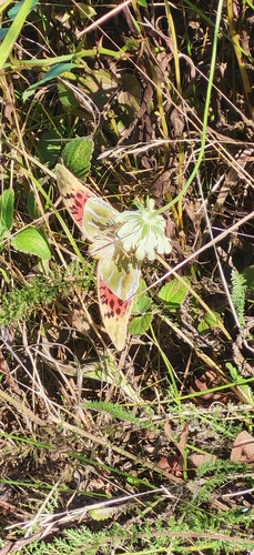
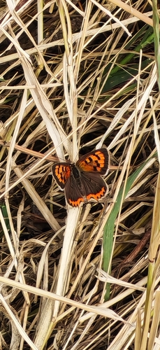
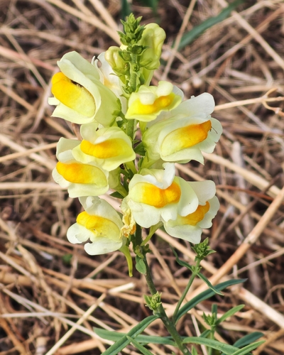
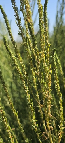
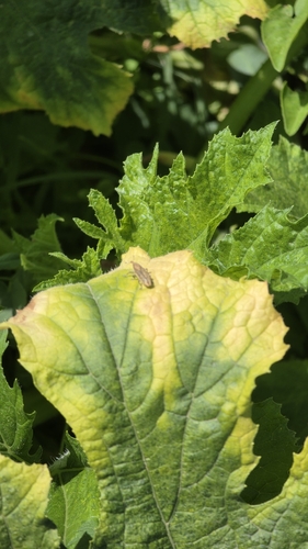
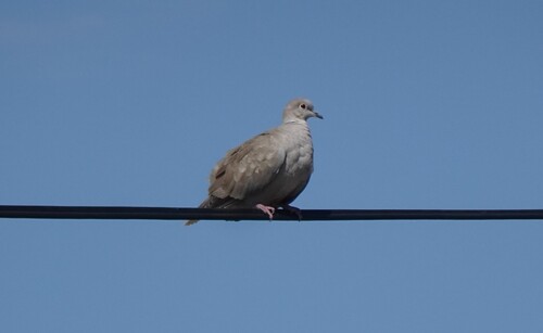
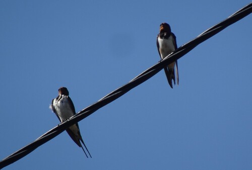
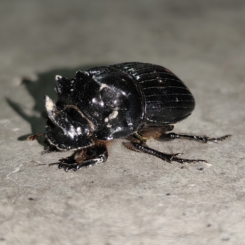
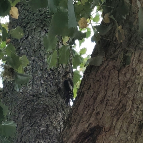
Research-grade observations from iNaturalist (within ~15 mi).
Events
Gallery
Sources
- • Wikipedia
- • Wikidata
- • iNaturalist
- • Open-Meteo / sunrise-sunset.org
- • Wikipedia Pageviews API