Browse / Croatia / Koprivnica-Križevci / Koprivnica
Koprivnica
Koprivnica-Križevcitown

Koprivnica
Total population
22,262
Demographic figures from Croatian Bureau of Statistics. Overview below cites Wikipedia and may reference a different year.
City facts
Facts from Wikidata (CC0).
Overview
Koprivnica is a city in Northern Croatia, located 70 kilometers northeast of Zagreb. It is the capital and the largest city of Koprivnica-Križevci County. In 2021, the city's administrative area of 90.94 km2 had a total population of 28,580, with 22,262 in the city proper.
Read more on WikipediaHistory & geography
History
Koprivnica has a history similar to that of nearby Varaždin: it was first mentioned in 1272 in a document by prince László IV and declared a free royal town by king Lajos I in 1356, and flourished as a trading place and a military fortress since that time. In the 14th century, the town settlement further developed due to increased trade under the influence of Varaždin. During the construction of Renaissance fortification in the second half of the 16th century Koprivnica was the centre of the Slavonian military border. Koprivnica counted among its troops musketeers, German soldiers, hussars and infantry. At that time the Renaissance square emerged together with the Town hall which emphasized its Renaissance identity, so Koprivnica can today be legitimately considered a renaissance town. The military aspect set it back somewhat when it was included in the Military Frontier in the 16th century during the wars with the Ottoman Turks, but after Maria Theresia's decree of 1765 it resumed life as a peaceful little merchant town which it was in reality. Its position on the border of Habsburg monarchy and Ottoman Empire influenced the environment, economic, social and demographic changes, as well as everyday life. Koprivnica can therefore be considered a border town. In the second half of the 17th century Koprivnica was among the most developed royal towns in the Croatian-Slavonian Kingdom and its economic growth was initially based on strong trade activity. The fact that the three most significant churches (St. Nicholas, St. Anthony of Padua with the Franciscan monastery and church of the Assumption of Virgin Mary in Mocile further illustrates the economic power of the town in the 17th century. Economic activity was moved outside the town fortifications and this resulted in…
Geography
Koprivnica (German: Kopreinitz, Hungarian: Kapronca) is situated at a strategic location – on the slopes of Bilogora and Kalnik to the south and river Drava to the north. Its position enabled it to develop numerous amenities for the wider area such as trade, crafts and administration, and in the 13th century Koprivnica became a town settlement. Koprivnica was named after the stream of the same name, which was first mentioned at the beginning of the 13th century during the Hungarian Kingdom. Since records began in 1949, the highest temperature recorded at the local weather station was , on 24 August 2012. The coldest temperature was , on 16 February 1956.
Excerpted from the corresponding Wikipedia article (CC BY-SA).
Geography
Coordinates & boundaries from the US Census TIGER/Line shapefiles.
Climate
Air quality
Walkability
Amenities nearby
Wildlife & biodiversity
Earthquake history
Photos
Sights & places nearby
Notable people from here


People born within ~10 km, from Wikidata (CC0). Click any name for their Wikipedia article.
Nearby places in Koprivnica-Križevci
- Grbaševec5.4 mi away · pop. 32
- Novigrad Podravski8.3 mi away · pop. 1,914
- Veliki Grabičani8.6 mi away · pop. 103
- Veliki Botinovac8.8 mi away · pop. 88
- Mali Poganac8.9 mi away · pop. 141
- Ladislav Sokolovački9.7 mi away
- Većeslavec10.6 mi away · pop. 143
- Velike Sesvete10.7 mi away · pop. 87
- Male Sesvete11.2 mi away · pop. 46
- Ruševac11.9 mi away · pop. 182
- Jarčani12.8 mi away · pop. 97
- Vojakovac13 mi away · pop. 234
Geography & sun
Elevation, sunrise/sunset and daylight from Open-Meteo. Solar climatology from NASA POWER.
Nearby airports
Public attention
Pageview totals from the Wikimedia Pageviews API.
Books about this place
Recent natural events nearby
Ground air-quality sensors
Recently spotted species
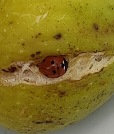
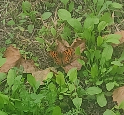
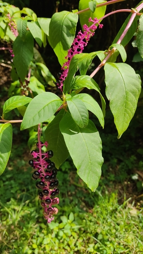
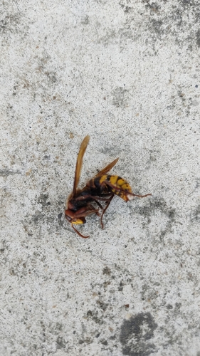
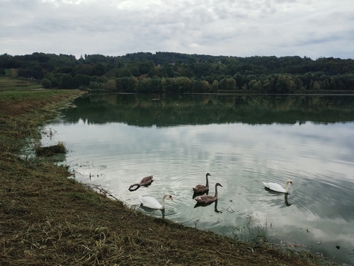
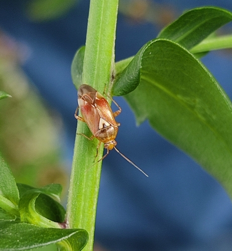
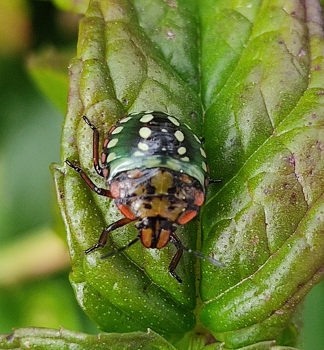
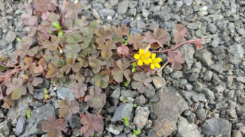
Research-grade observations from iNaturalist (within ~15 mi).
Events
Gallery
Sources
- • Wikipedia
- • Wikidata
- • iNaturalist
- • Open-Meteo / sunrise-sunset.org
- • Wikipedia Pageviews API