Browse / Croatia / Krapina-Zagorje / Krapinske Toplice
Krapinske Toplice
Krapina-Zagorjevillage

Krapinske Toplice
Total population
1,295
Demographic figures from Croatian Bureau of Statistics. Overview below cites Wikipedia and may reference a different year.
City facts
Facts from Wikidata (CC0).
Overview
Krapinske Toplice is a village and municipality in Krapina-Zagorje County in Croatia.
Read more on WikipediaHistory & geography
History
No remains of people or artifacts from the Paleolithic era, were found on the territory of the Municipality, but mammoth tusks have been found. Polished stone axes from the Neolithic and Copper Age have been found in the municipality. On the Zašat hill, the remains of above-ground houses built of brushwood, timber and mud were discovered, as well as the remains of ceramic vessels, part of a round ceramic weight or coaster, and a stone artefact - a hoe. These are the remains of a high-altitude prehistoric settlement, fortified with an rampart from the Late Bronze Age, i.e. the period between 1200 and 800 BC. The first mention of Krapinske Toplice dates back to 1334, when the parish list of the Zagreb Diocese mentions the Parish of the Holy Trinity in Toplice. The first precursor to today's hospitals in Krapinske Toplice appears in 1609, when the then owner of the spa, Franjo Keglević, built a xenodochium. It was a building that was used to receive people and was located between the church and the bathing area. Krapinske Toplice experienced rapid development in 1859 when the famous merchant Jakov Badl bought the existing baths and built new ones. In addition to them, a hotel, a health resort, a restaurant were also built, and parks and alleys were formed and planted. In 1882 and 1885, they won gold medals for tourist quality at international exhibitions. In the mid-20th century, the Spa Resort was founded, which ten years later grew into the Hospital for Rheumatic Diseases and Rehabilitation. The modern take-off in the healthcare sector began in the rheumatology department, and over time, the activities expanded to include orthopedics, neurology, and cardiology. At the end of the 20th century, two new hospital buildings were built. Since 1994, this institution has…
Excerpted from the corresponding Wikipedia article (CC BY-SA).
Geography
Coordinates & boundaries from the US Census TIGER/Line shapefiles.
Climate
Air quality
Walkability
Amenities nearby
Wildlife & biodiversity
Earthquake history
Photos
Sights & places nearby
Notable people from here


People born within ~10 km, from Wikidata (CC0). Click any name for their Wikipedia article.
Nearby places in Krapina-Zagorje
- Klokovec0.5 mi away · pop. 755
- Donje Vino0.8 mi away · pop. 123
- Slivonja Jarek1.3 mi away · pop. 96
- Vrtnjakovec1.5 mi away · pop. 248
- Maturovec1.6 mi away · pop. 84
- Oratje1.8 mi away · pop. 170
- Čret1.9 mi away · pop. 571
- Lovreća Sela1.9 mi away · pop. 209
- Donja Pačetina2 mi away · pop. 729
- Velika Erpenja2.3 mi away · pop. 111
- Klupci Začretski2.3 mi away · pop. 77
- Škarićevo2.4 mi away · pop. 707
Geography & sun
Elevation, sunrise/sunset and daylight from Open-Meteo. Solar climatology from NASA POWER.
Nearby airports
Public attention
Pageview totals from the Wikimedia Pageviews API.
Books about this place
Recent natural events nearby
Ground air-quality sensors
Recently spotted species
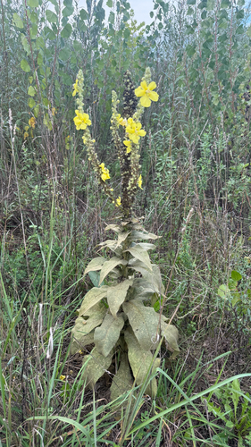
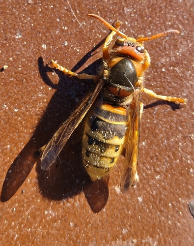
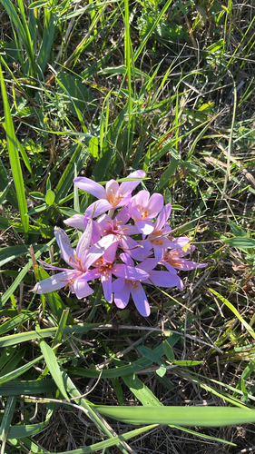
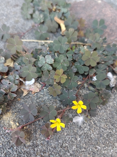

Research-grade observations from iNaturalist (within ~15 mi).
Events
Gallery
Sources
- • Wikipedia
- • Wikidata
- • iNaturalist
- • Open-Meteo / sunrise-sunset.org
- • Wikipedia Pageviews API