Browse / Croatia / Primorje-Gorski Kotar / Kras
Kras
Primorje-Gorski Kotarvillage
Total population
109
Air quality index
Demographic figures from Croatian Bureau of Statistics. Overview below cites Wikipedia and may reference a different year.
City facts
Overview
Situated in Primorje-Gorski Kotar, Croatia, Kras is a small village. Kras maps to 45.108°, 14.599° — squarely within the temperate belt. Census-style estimates put the resident count near 109. Solar-resource estimates put the area at about 1,313 kWh/m² of solar irradiance per year with sunshine for roughly 51% of daylight hours. Climatically, locations at this latitude tend to experience four distinct seasons with warm summers and cold winters. Read on for charts and tables covering demographics, climate, hazards, schools, wildlife and other open-data indicators for Kras.
Summary composed automatically from structured open data on this page. See our Terms for details.
History & geography
Geography
Coordinates & boundaries from the US Census TIGER/Line shapefiles.
Climate
Air quality
Current readings from Open-Meteo Air Quality API (Copernicus CAMS European reanalysis).
Walkability
Amenities nearby
Wildlife & biodiversity
Most-observed species
- Italian Wall LizardPodarcis siculus (Rafinesque-Schmaltz, 1810) · Squamata805
- Yellow-legged GullLarus michahellis J.F.Naumann, 1840 · Aves696
- Eurasian BlackbirdTurdus merula Linnaeus, 1758 · Aves586
- Barn SwallowHirundo rustica Linnaeus, 1758 · Aves528
- Eurasian GriffonGyps fulvus (Hablizl, 1783) · Aves505
- Eurasian JayGarrulus glandarius (Linnaeus, 1758) · Aves410
- Jerusalem thorn, Garland thorn, Christ's thorn, Crown of thornsPaliurus spina-christi Mill. · Magnoliopsida396
- European ShagPhalacrocorax aristotelis (Linnaeus, 1761) · Aves391
Citizen-science & research observations from the Global Biodiversity Information Facility (GBIF).
Earthquake history
Most recent
- M 3.8 — 2024-05-011 km SW of Rakovica, Croatia
- M 4.2 — 2024-05-014 km SW of Rakovica, Croatia
- M 3.9 — 2023-07-298 km ENE of Klana, Croatia
- M 4.7 — 2023-02-163 km W of Baška, Croatia
- M 3.5 — 2020-05-133 km NE of Crikvenica, Croatia
- M 4 — 2017-08-083 km SSW of Jadranovo, Croatia
Events from the USGS Earthquake Catalog (global) (FDSN Event Web Service).
Photos
Sights & places nearby
Notable people from here


People born within ~10 km, from Wikidata (CC0). Click any name for their Wikipedia article.
Nearby places in Primorje-Gorski Kotar
- Sveti Ivan Dobrinjski1.3 mi away · pop. 47
- Sveti Vid Dobrinjski1.6 mi away · pop. 61
- Tribulje2.2 mi away · pop. 54
- Žestilac2.4 mi away · pop. 9
- Soline2.9 mi away · pop. 109
- Sveti Vid-Miholjice3 mi away · pop. 261
- Barušići3 mi away · pop. 25
- Oštrobradić3 mi away · pop. 86
- Polje3.1 mi away · pop. 109
- Radići3.3 mi away · pop. 175
- Sveti Ivan3.5 mi away · pop. 72
- Sveti Anton3.7 mi away · pop. 149
Geography & sun
Elevation, sunrise/sunset and daylight from Open-Meteo. Solar climatology from NASA POWER.
Nearby airports
Public attention
Books about this place
Recent natural events nearby
Ground air-quality sensors
Recently spotted species
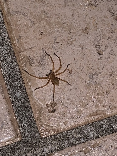
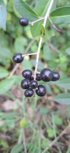
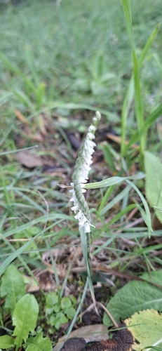
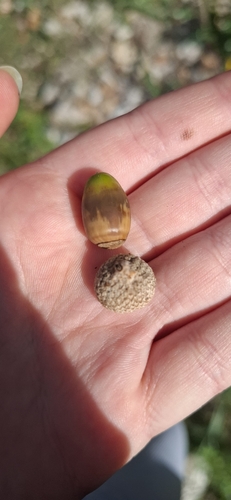
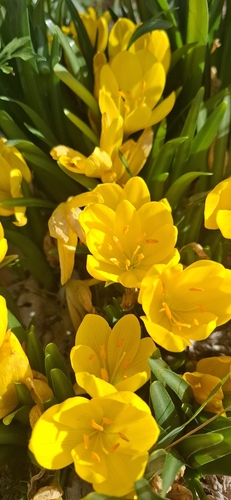
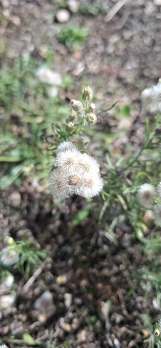
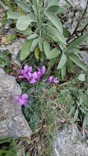
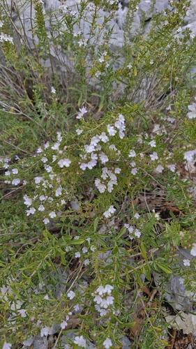
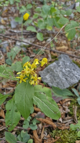
Research-grade observations from iNaturalist (within ~15 mi).
Events
Gallery
Sources
- • Wikidata
- • Open-Meteo Air Quality (CAMS)
- • USGS Earthquake Catalog (global feed)
- • GBIF (Global Biodiversity Information Facility)
- • iNaturalist
- • Open-Meteo / sunrise-sunset.org