Browse / Croatia / Istria / Kringa
Kringa
Istriavillage

Featured view
Kringa
Total population
315
Land area9.1 km²
Coordinates45.18°, 13.83°
Demographic figures from Croatian Bureau of Statistics. Overview below cites Wikipedia and may reference a different year.
Loading additional data from public sources…0 / 11
CensusWikipediaWeatherPlacesPeopleEnvironmentHealth & SchoolsRelatedGeography & CultureLive MonitoringEvents & Gallery
0% completeCity facts
Area
9.1 km²
Facts from Wikidata (CC0).
Overview
Kringa is a village near Tinjan, Istria, Croatia.
Read more on WikipediaHistory & geography
Geography
Latitude
45.1831
Longitude
13.8339
Water area
—
Coordinates & boundaries from the US Census TIGER/Line shapefiles.
Climate
Air quality
Walkability
Amenities nearby
Wildlife & biodiversity
Earthquake history
Photos
Sights & places nearby
Notable people from here
M
Matthias Garbitius
German philologist

Juraj Dobrila
Croatian Roman Catholic bishop and benefactor (1812-1882)

Vladimir Gortan

Pelagius of Novigrad
Croatian saint

Julian of Antioch
4th-century Christian martyr and saint

Herman of Carinthia
12th-century Carinthian astrologer
I
Igor Pamić
Croatian footballer
K
Katharina Graf
Austrian politician (1873-1936)
B
Barnaba Hechich
Italian presbyter (1924–2013)
D
Daniele Hechich
Croatian presbyter (1926-2009)

Božo Milanović
Croatian priest, theologian and politician (1890-1980)
M
Mate Križman
Croatian classical philologist and indoeuropeist (1934-2019)

Ruža Petrović
Croatian anti-fascist

Joakim Rakovac
antifascist partisan and national hero of Yugoslavia (1914–1945)
V
Vjekoslav Ladovac
J
Josip Voltiggi
Croatian linguist
People born within ~10 km, from Wikidata (CC0). Click any name for their Wikipedia article.
Nearby places in Istria
- Sveti Petar u Šumi1.5 mi away · pop. 1,065
- Radetići1.7 mi away · pop. 210
- Krajcar Breg2 mi away · pop. 50
- Barat2.3 mi away · pop. 60
- Jakovici2.3 mi away · pop. 268
- Tinjan2.4 mi away · pop. 433
- Prkačini2.5 mi away · pop. 32
- Pamići2.7 mi away · pop. 112
- Pifari2.8 mi away · pop. 26
- Jakići Gorinji2.9 mi away · pop. 18
- Orbani2.9 mi away · pop. 18
- Radići2.9 mi away · pop. 19
Geography & sun
Avg solar (kWh/m²/day)
3.84
Annual solar (kWh/m²)
1,402
Elevation, sunrise/sunset and daylight from Open-Meteo. Solar climatology from NASA POWER.
Nearby airports
Public attention
Wikipedia views (last 30 days)
288
Avg daily Wikipedia views
10
Attention level
Obscure
Pageview totals from the Wikimedia Pageviews API.
Books about this place
Recent natural events nearby
Ground air-quality sensors
Recently spotted species
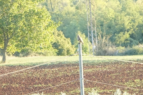
Common Buzzard
Buteo buteo
Seen 2026-09-22
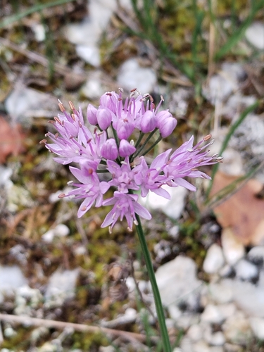
German Garlic
Allium lusitanicum
Seen 2026-09-22
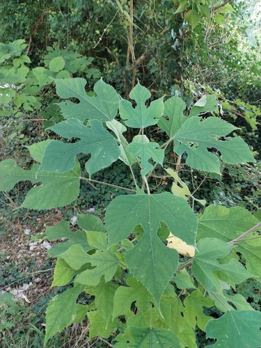
Paper mulberry
Broussonetia papyrifera
Seen 2026-09-22
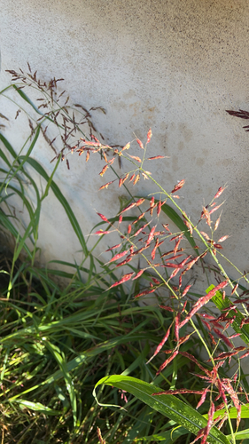
Johnson grass
Sorghum halepense
Seen 2026-09-20
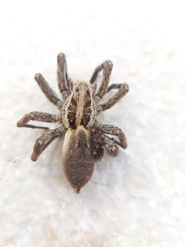
Radiated Wolf Spider
Hogna radiata
Seen 2026-09-19
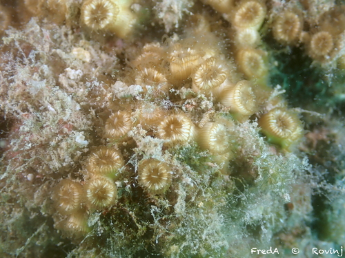
Cushion Coral
Cladocora caespitosa
Seen 2026-09-19
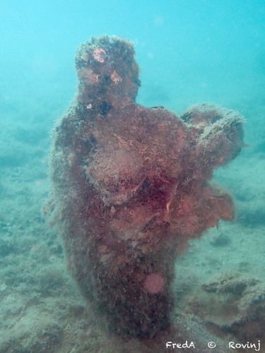
Noble Pen Shell
Pinna nobilis
Seen 2026-09-19
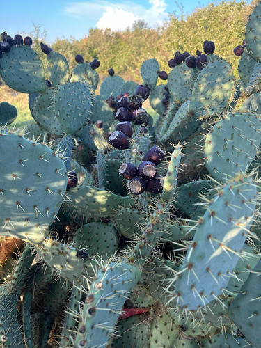
Western Pricklypear
Opuntia orbiculata
Seen 2026-09-19
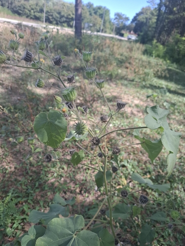
velvetleaf
Abutilon theophrasti
Seen 2026-09-16
Research-grade observations from iNaturalist (within ~15 mi).
Events
Gallery
Sources
- • Wikipedia
- • Wikidata
- • iNaturalist
- • Open-Meteo / sunrise-sunset.org
- • Wikipedia Pageviews API