Browse / Croatia / Koprivnica-Križevci / Križevci
Križevci
Koprivnica-Križevcitown

Križevci
Total population
10,522
Demographic figures from Croatian Bureau of Statistics. Overview below cites Wikipedia and may reference a different year.
City facts
Sister cities
Facts from Wikidata (CC0).
Overview
Križevci is a town in northern Croatia with a total population of 18,949 and with 10,522 in the town itself, It is the oldest town in its county, the Koprivnica-Križevci County.
Read more on WikipediaHistory & geography
History
The first mention of "Upper Križevac" was in 1193 by Béla III, when it was given the status of a Royal Borough in 1252 by the ban (count) Stephan, and which was confirmed by King Béla IV a year later. "Lower Križevac" developed somewhat slower than its twin town: it became a free royal city in 1405, thanks to king Sigismund. Bloody Sabor of Križevci () refers to the assassination of the Croatian ban Stjepan Lacković and his followers at the orders of king Holy Roman Emperor Sigismund, on 27 February 1397. Križevac is the birthplace of the Catholic priest and martyr Saint Marko of Križevac, who died at the hands of Calvinists in Košice in 1619, and was subsequently canonized because of his martyrdom. His feast day is celebrated on September 7. After centuries of separation, Empress Maria Theresa of Austria united Lower and Upper Križevac into "Križevci" in 1752 (the word Križevci is plural of Križevac). The town was attacked during the wars with the Turks, but regained its prominence in 1871 when the newly built railway passed through it connecting Budapest and Rijeka. In the late 19th century and early 20th century, Križevci was the district capital of the Bjelovar-Križevci County in the Kingdom of Croatia-Slavonia. These days, while the city has become a hub of entrepreneurship, it still enjoys many of the most valuable and ancient monuments in the county (both in the town itself and the wider region). Križevci has nine churches (seven Roman Catholic, one Greek Catholic and one Serbian Orthodox), some of them dating back to the Middle Ages. In the oldest Gothic [http://international.krizevci.info/en_GB/kri%C5%BEevci/sights/church+of+the+holy+cross Church of Holy Cross in Križevci], there are important Baroque frescoes and a marble altar dating from the 18th…
Geography
Križevci is a town in the Koprivnica-Križevci County. Because of its close proximity to Zagreb (57 km), Križevci is becoming a "satellite suburb" of the national capital. It enjoys a central position in the region due to its close proximity to all the regional centers: Koprivnica (31 km), Bjelovar (33 km) and Varaždin (48 km). The town's importance has always depended on its status as a crossroads. It was known in antiquity and in the Middle Ages because of its location along one of the main caravan routes; in fact, there was a famous "King's Coloman Road" that passed through Križevci, connecting Pannonia and Dalmatia. In the more recent times it became a major transport hub: roads connecting Posavina and the region around Kalnik and Podravina were all already built in the 18th century; the railroad between Hungary and Zagreb, that goes through Koprivnica and Križevci (1870.), and to Bjelovar (1894). Today, the town remains an important center connecting Bjelovar and Koprivnica, and other major regional centers. Križevci is 140 m above sea-level, where the southern part of Kalnik begins. Topographically, it lies on Pleistocene foundations, between swamped alluvial valleys of the brook Vrtlin from the east and the brook Koruska from the west. Relief, geological-petrografical structure, convenient climate and abundance of water, all contribute to the economic and demographic development of the town. The city has been affected by major demographic and economic regional changes, most notably due to increased industrialization and the consequent decline in agricultural production, and rural communities, with the population move to Križevci. Since records began in 1961, the highest temperature recorded at the local weather station at an elevation of…
Excerpted from the corresponding Wikipedia article (CC BY-SA).
Geography
Coordinates & boundaries from the US Census TIGER/Line shapefiles.
Climate
Air quality
Walkability
Amenities nearby
Wildlife & biodiversity
Earthquake history
Photos
Sights & places nearby
Notable people from here


People born within ~10 km, from Wikidata (CC0). Click any name for their Wikipedia article.
Nearby places in Koprivnica-Križevci
- Mali Potočec1.3 mi away · pop. 169
- Gornja Brckovčina1.7 mi away · pop. 160
- Prikraj Križevački1.9 mi away · pop. 194
- Veliki Potočec1.9 mi away · pop. 399
- Sveti Martin2.3 mi away · pop. 91
- Majurec2.5 mi away · pop. 423
- Bojnikovec3 mi away · pop. 219
- Šalamunovec3.2 mi away · pop. 47
- Gračina3.3 mi away · pop. 209
- Špiranec3.5 mi away · pop. 151
- Ivanec Križevački3.7 mi away · pop. 308
- Mičijevac3.7 mi away · pop. 69
Geography & sun
Elevation, sunrise/sunset and daylight from Open-Meteo. Solar climatology from NASA POWER.
Nearby airports
Public attention
Pageview totals from the Wikimedia Pageviews API.
Books about this place
Recent natural events nearby
Ground air-quality sensors
Recently spotted species
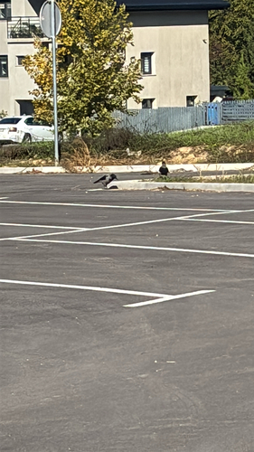
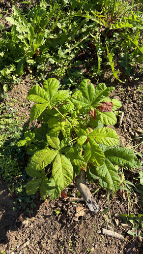

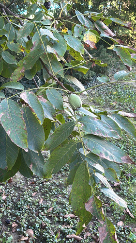
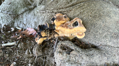
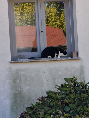
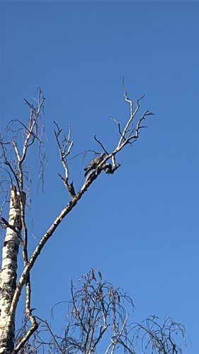
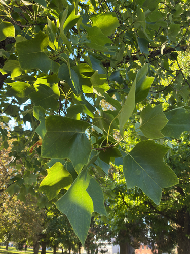
Research-grade observations from iNaturalist (within ~15 mi).
Events
Notable, recurring, and historical events associated with Križevci, sourced from Wikidata.
- Meeting of Croatian spiritual literary creativity Stjepan Kranjčićannual event
Croatian annual literary event in Križevci, dedicated to spiritual literature of Christian inspiration
Source: Wikidata (CC0).
Gallery
Sources
- • Wikipedia
- • Wikidata
- • iNaturalist
- • Open-Elevation
- • Open-Meteo / sunrise-sunset.org
- • Wikipedia Pageviews API