Browse / Croatia / Krapina-Zagorje / Kumrovec
Kumrovec
Krapina-Zagorjevillage

Kumrovec
Total population
267
Demographic figures from Croatian Bureau of Statistics. Overview below cites Wikipedia and may reference a different year.
City facts
Facts from Wikidata (CC0).
Overview
Kumrovec is a village in northern Croatia, part of Krapina-Zagorje County. It sits on the Sutla River, along the Croatian-Slovenian border. The Kumrovec municipality has 1,412 residents (2021), but the village itself has only 245 people. The municipality was established on May 6, 1997, after it was split from the municipality of Tuhelj.
Read more on WikipediaHistory & geography
History
In the late 19th and early 20th century, Kumrovec was part of Varaždin County of the Kingdom of Croatia-Slavonia. According to the research of Slovenian historian , during the initial phase of the German occupation of the Slovene-Croatian territory between May and June 1941, the municipality of Kumrovec was temporarily occupied by Nazi Germany, along with other parts of the western outskirts of the Croatian Zagorje (Hum na Sotli, Prišlin, Druškovec, Brezno and Lupinjak). For the first few weeks after the occupation in April, the swastika also hung in Kumrovec. The occupied territory of Western Croatian Zagorje (including Kumrovec) was returned to the Independent State of Croatia in mid-June 1941. At that time, the state and occupation border between Germany and Croatia was finally established along the water line of the Sotla river.
Excerpted from the corresponding Wikipedia article (CC BY-SA).
Geography
Coordinates & boundaries from the US Census TIGER/Line shapefiles.
Climate
Air quality
Walkability
Amenities nearby
Wildlife & biodiversity
Earthquake history
Photos
Sights & places nearby
Notable people from here
Nearby places in Krapina-Zagorje
- Ravno Brezje0.8 mi away · pop. 216
- Kladnik0.9 mi away · pop. 155
- Velinci1.7 mi away · pop. 104
- Ravnice Desinićke1.8 mi away · pop. 161
- Risvica1.9 mi away · pop. 277
- Lenišće2 mi away · pop. 128
- Zagorska Sela2.5 mi away · pop. 227
- Jelenjak2.6 mi away · pop. 102
- Donji Jalšovec2.6 mi away
- Prosenik2.7 mi away · pop. 194
- Velika Horvatska2.9 mi away · pop. 271
- Kuzminec Miljanski3.1 mi away · pop. 29
Geography & sun
Elevation, sunrise/sunset and daylight from Open-Meteo. Solar climatology from NASA POWER.
Nearby airports
Public attention
Pageview totals from the Wikimedia Pageviews API.
Books about this place
Recent natural events nearby
Ground air-quality sensors
Recently spotted species
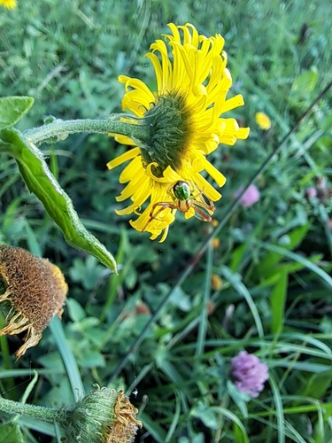
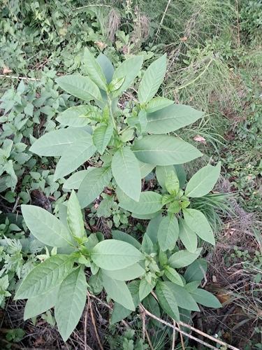
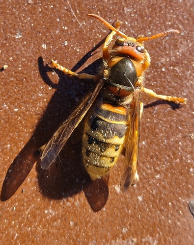
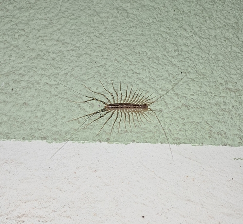
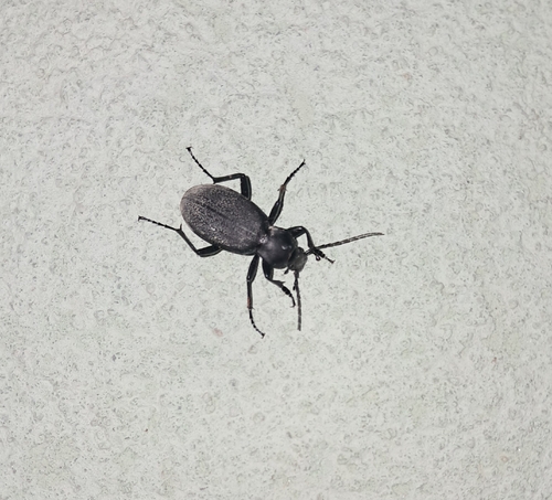
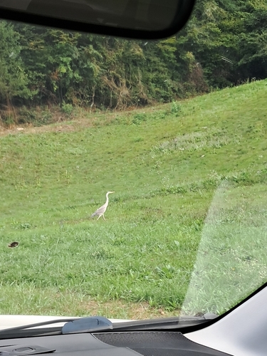
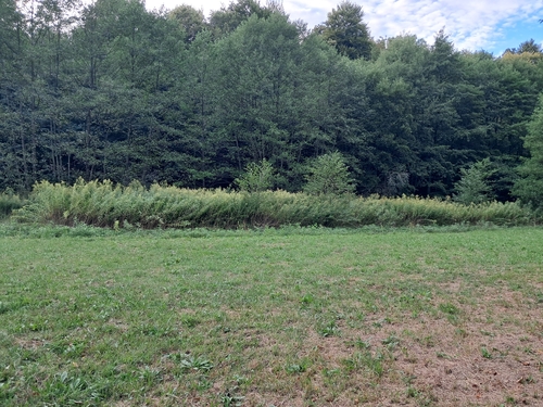
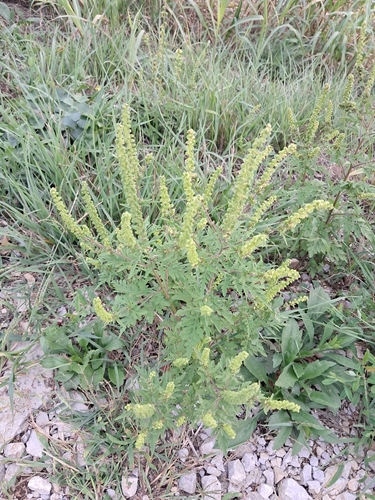
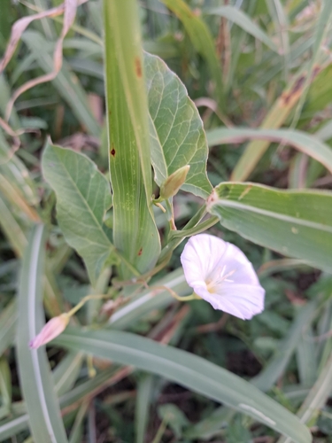
Research-grade observations from iNaturalist (within ~15 mi).
Events
Gallery
Sources
- • Wikipedia
- • Wikidata
- • iNaturalist
- • Open-Meteo / sunrise-sunset.org
- • Wikipedia Pageviews API