Browse / Croatia / Karlovac / Kupljensko
Kupljensko
Karlovacvillage
No image yet
Total population
317
Land area11.6 km²
Coordinates45.30°, 15.67°
Demographic figures from Croatian Bureau of Statistics. Overview below cites Wikipedia and may reference a different year.
Loading additional data from public sources…0 / 11
CensusWikipediaWeatherPlacesPeopleEnvironmentHealth & SchoolsRelatedGeography & CultureLive MonitoringEvents & Gallery
0% completeCity facts
Area
11.6 km²
Facts from Wikidata (CC0).
Overview
Kupljensko is a village in central Croatia, in the municipality of Vojnić, Karlovac County. It is connected by the D216 highway.
Read more on WikipediaHistory & geography
Geography
Latitude
45.2995
Longitude
15.6732
Water area
—
Coordinates & boundaries from the US Census TIGER/Line shapefiles.
Climate
Air quality
Walkability
Amenities nearby
Wildlife & biodiversity
Earthquake history
Photos
Sights & places nearby
Notable people from here

Dušan Pekić
Yugoslav partisan

Vladimir Matijević
Serbian philanthropist (1854–1929)
M
Miloš Matijevic Mrša

Martin Davorin Krmpotić
Croatian Catholic priest, translator, essayist and missionary (1867–1931)
L
Leonard Bajić
Croatian monk and translator (1889-1948)
D
Dušan Hrstić
D
Dragan Pajić
L
Ljubomir Madžar
Serbian economist
People born within ~10 km, from Wikidata (CC0). Click any name for their Wikipedia article.
Nearby places in Karlovac
- Johovo1.9 mi away · pop. 36
- Radonja2.8 mi away · pop. 103
- Keserov Potok2.8 mi away · pop. 8
- Rajić Brdo3.1 mi away · pop. 26
- Knežević Kosa3.2 mi away · pop. 119
- Mala Crkvina3.3 mi away · pop. 42
- Bijeli Klanac3.5 mi away · pop. 1
- Mračaj Krstinjski3.9 mi away · pop. 7
- Živković Kosa4.1 mi away · pop. 119
- Petrova Poljana4.2 mi away · pop. 17
- Vojišnica4.3 mi away · pop. 404
- Podgorje Krnjačko4.5 mi away · pop. 48
Geography & sun
Avg solar (kWh/m²/day)
3.6
Annual solar (kWh/m²)
1,313
Elevation, sunrise/sunset and daylight from Open-Meteo. Solar climatology from NASA POWER.
Nearby airports
Public attention
Wikipedia views (last 30 days)
14
Avg daily Wikipedia views
1
Attention level
Obscure
Pageview totals from the Wikimedia Pageviews API.
Books about this place
Recent natural events nearby
Ground air-quality sensors
Recently spotted species
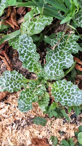
milk thistle
Silybum marianum
Seen 2026-09-14
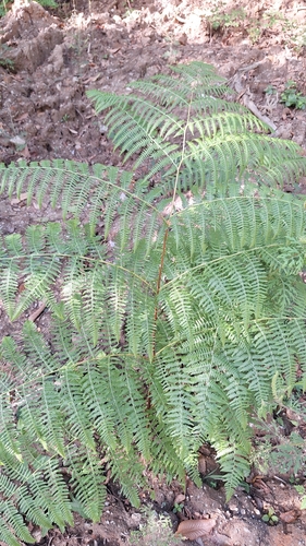
common bracken
Pteridium aquilinum
Seen 2026-09-14
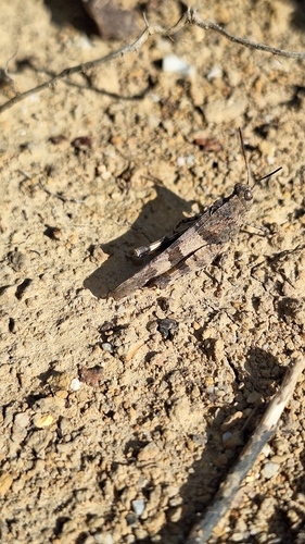
Blue-winged Grasshopper
Oedipoda caerulescens
Seen 2026-09-14
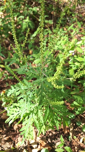
common ragweed
Ambrosia artemisiifolia
Seen 2026-09-14
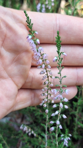
common heather
Calluna vulgaris
Seen 2026-09-14
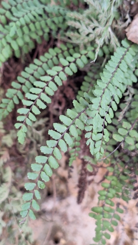
maidenhair spleenwort
Asplenium trichomanes
Seen 2026-09-14
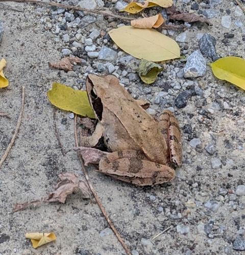
Agile Frog
Rana dalmatina
Seen 2026-09-14
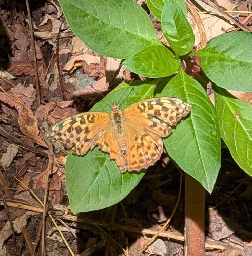
Silver-washed Fritillary
Argynnis paphia
Seen 2026-09-14
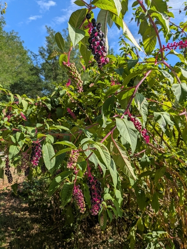
American pokeweed
Phytolacca americana
Seen 2026-09-14
Research-grade observations from iNaturalist (within ~15 mi).
Events
Gallery
Sources
- • Wikipedia
- • Wikidata
- • iNaturalist
- • Open-Meteo / sunrise-sunset.org
- • Wikipedia Pageviews API