Browse / Croatia / Koprivnica-Križevci / Legrad
Legrad
Koprivnica-Križevcivillage

Legrad
Total population
956
Demographic figures from Croatian Bureau of Statistics. Overview below cites Wikipedia and may reference a different year.
City facts
Facts from Wikidata (CC0).
Overview
Legrad is a village and a municipality in northern Croatia, located north of Koprivnica and east of Ludbreg in the Koprivnica–Križevci County.
Read more on WikipediaHistory & geography
History
Due to its favorable geographical position, Legrad became a chartered market town as early as 1488. Since the mid-16th century, fortifications have been built to protect the town from Ottoman incursions. By the 17th century, Legrad was a major trading post for cattle which attracted merchants from Venice and Italy. The highly profitable cattle trade, run by the Zrinski family, was used to finance their standing army and the defense against the Ottomans. The development of trade and handcrafting contributed to the demographic growth, and in 1771 Legrad and neighboring villages were recorded as having as many as 6,039 inhabitants. Cattle fairs in Legrad held their relevance into the 18th and 19th centuries. Legrad got a railway station on the other side of the river Drava in Hungary in the second half of the 19th century and that the name of this train station was Légrád until a few years ago (see: Serbian-Hungarian Baranya-Baja Republic). It is historically very important that Novi Zrin was near Legrad. In the late 19th century and early 20th century, Legrad was part of the Zala County of the Kingdom of Hungary.
Excerpted from the corresponding Wikipedia article (CC BY-SA).
Geography
Coordinates & boundaries from the US Census TIGER/Line shapefiles.
Climate
Air quality
Walkability
Amenities nearby
Wildlife & biodiversity
Earthquake history
Photos
Sights & places nearby
Notable people from here


People born within ~10 km, from Wikidata (CC0). Click any name for their Wikipedia article.
Nearby places in Koprivnica-Križevci
- Grbaševec7.9 mi away · pop. 32
- Veliki Grabičani14.2 mi away · pop. 103
- Veliki Botinovac15.5 mi away · pop. 88
- Mali Poganac15.9 mi away · pop. 141
- Novigrad Podravski16 mi away · pop. 1,914
- Ždala16.3 mi away · pop. 583
- Jarčani18.6 mi away · pop. 97
- Ladislav Sokolovački18.6 mi away
- Velike Sesvete19.1 mi away · pop. 87
- Osijek Vojakovački19.2 mi away · pop. 205
- Male Sesvete19.3 mi away · pop. 46
- Marinovec19.3 mi away · pop. 103
Geography & sun
Elevation, sunrise/sunset and daylight from Open-Meteo. Solar climatology from NASA POWER.
Nearby airports
Public attention
Pageview totals from the Wikimedia Pageviews API.
Books about this place
Recent natural events nearby
Ground air-quality sensors
Recently spotted species
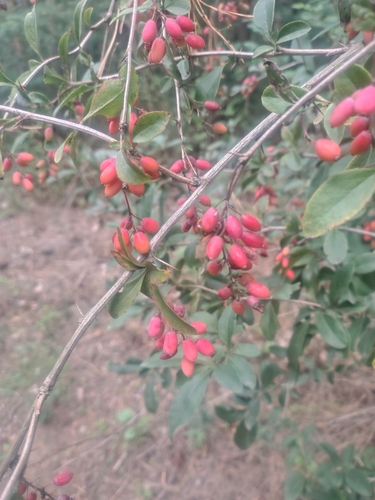
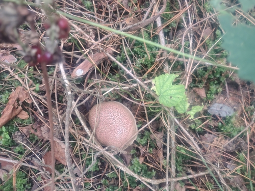

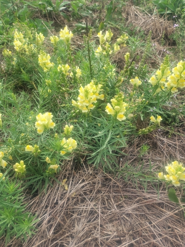
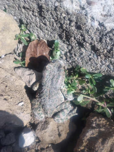
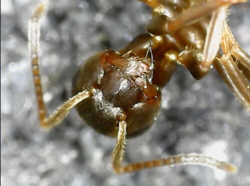
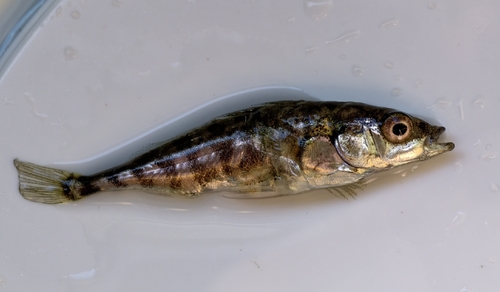

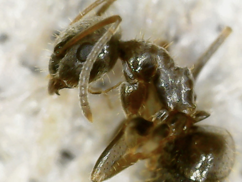
Research-grade observations from iNaturalist (within ~15 mi).
Events
Gallery
Sources
- • Wikipedia
- • Wikidata
- • iNaturalist
- • Open-Meteo / sunrise-sunset.org
- • Wikipedia Pageviews API