Browse / Croatia / Varaždin / Majerje
Majerje
Varaždinvillage
No image yet
Total population
757
Land area7.4 km²
Coordinates46.34°, 16.25°
Demographic figures from Croatian Bureau of Statistics. Overview below cites Wikipedia and may reference a different year.
Loading additional data from public sources…0 / 11
CensusWikipediaWeatherPlacesPeopleEnvironmentHealth & SchoolsRelatedGeography & CultureLive MonitoringEvents & Gallery
0% completeCity facts
Area
7.4 km²
Facts from Wikidata (CC0).
Overview
Majerje is a village in Croatia. It is connected by the D2 highway.
Read more on WikipediaHistory & geography
Geography
Latitude
46.3412
Longitude
16.2463
Water area
—
Coordinates & boundaries from the US Census TIGER/Line shapefiles.
Climate
Air quality
Walkability
Amenities nearby
Wildlife & biodiversity
Earthquake history
Photos
Sights & places nearby
Notable people from here

Albert Dovecar
French member of OAS (1937–1962)

Gejza Josipović
Hungarian politician (1857-1934)
I
István Kereskényi
Hungarian politician

Hinko Hinković
Croatian lawyer and politician (1854-1929)
K
Ksenija Koprek
Croatian boxer
A
Anselmo Canjuga
A
Andrej Bahun
politician
P
Pavel Stern
scientist

Vinko Zupan
Š
Štefan Furijan
J
Jozo Martinčević
Croatian actor

Kamilo Horvatin
M
Mirko Breyer
Croatian writer, bibliographer and antiquarian
A
Antonija Albert

Mladen Kranjc
Yugoslav footballer (1945-1988)
P
Pero Pirker
Croatian and Yugoslav politician
People born within ~10 km, from Wikidata (CC0). Click any name for their Wikipedia article.
Nearby places in Varaždin
- Petrijanec1.1 mi away · pop. 1,429
- Svibovec Podravski1.9 mi away · pop. 945
- Strmec Podravski3.4 mi away · pop. 663
- Prekno4.2 mi away · pop. 172
- Donje Vratno4.2 mi away · pop. 395
- Zamlača4.3 mi away · pop. 372
- Donje Vratno4.4 mi away · pop. 289
- Koretinec4.5 mi away · pop. 369
- Donje Ladanje4.6 mi away · pop. 1,166
- Maruševec5.1 mi away · pop. 460
- Gornje Vratno5.2 mi away · pop. 1,301
- Radovec Polje5.4 mi away · pop. 144
Geography & sun
Avg solar (kWh/m²/day)
3.56
Annual solar (kWh/m²)
1,301
Elevation, sunrise/sunset and daylight from Open-Meteo. Solar climatology from NASA POWER.
Nearby airports
Public attention
Wikipedia views (last 30 days)
13
Avg daily Wikipedia views
1
Attention level
Obscure
Pageview totals from the Wikimedia Pageviews API.
Books about this place
Recent natural events nearby
Ground air-quality sensors
Recently spotted species
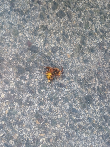
European Hornet
Vespa crabro
Seen 2026-09-25

Broad Green-winged Grasshopper
Aiolopus strepens
Seen 2026-09-24
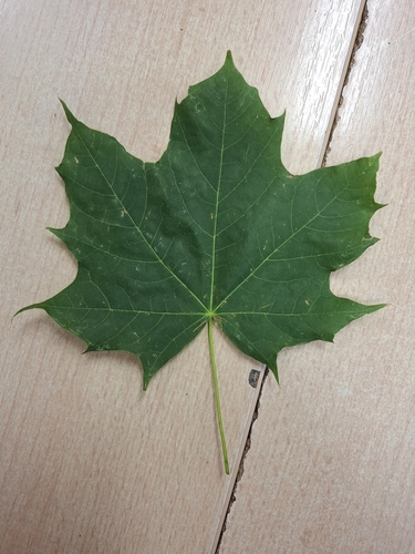
Norway maple
Acer platanoides
Seen 2026-09-23
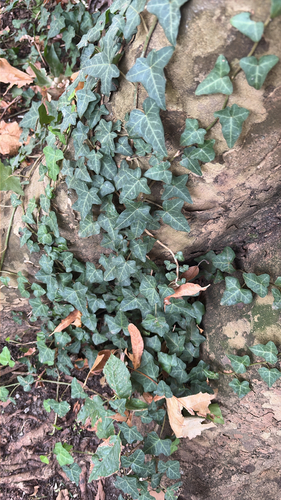
common ivy
Hedera helix
Seen 2026-09-21
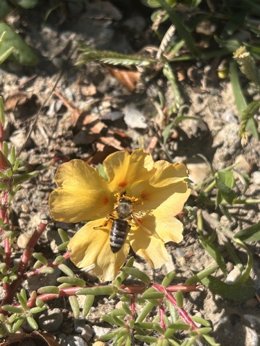
Western Honey Bee
Apis mellifera
Seen 2026-09-19
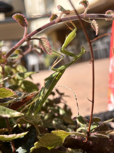
European Mantis
Mantis religiosa
Seen 2026-09-19

Convolvulus Hawkmoth
Agrius convolvuli
Seen 2026-09-19
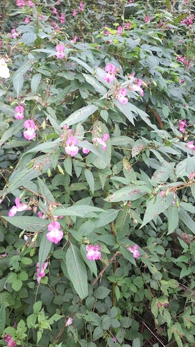
Himalayan balsam
Impatiens glandulifera
Seen 2026-09-17
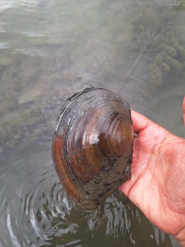
Chinese Pond Mussel
Sinanodonta woodiana
Seen 2026-09-17
Research-grade observations from iNaturalist (within ~15 mi).
Events
Gallery
Sources
- • Wikipedia
- • Wikidata
- • iNaturalist
- • Open-Meteo / sunrise-sunset.org
- • Wikipedia Pageviews API