Browse / Croatia / Međimurje / Mala Subotica
Mala Subotica
Međimurjevillage

Mala Subotica
Total population
1,986
Demographic figures from Croatian Bureau of Statistics. Overview below cites Wikipedia and may reference a different year.
City facts
Facts from Wikidata (CC0).
Overview
Mala Subotica is a village and municipality in Međimurje County, Croatia. The village is located around 7 kilometres south-east of Čakovec, the county seat and largest city of Međimurje County.
Read more on WikipediaHistory & geography
History
The Međimurje area was inhabited in ancient times, as seen by archaeological finds dating back to 5000 BC. A stone lid of an ancient urn was found near the village of Sveti Križ and an old cemetery was found under and around the parish church, where burials took place until the end of the 18th century. In the municipality of Mala Subotica, the first settlement mentioned was Sveti Križ, which probably got its name from the fact that the Crusaders gathered there for their campaigns to the Holy Land. On December 6, 1256, the name of the Subotica estate was first mentioned as Zumbathel. At the end of the 19th century, Magyarization was carried out in Međimurje, which led to the name Sobotica being changed to the Hungarian name Kiszabatka, to distinguish it from Subotica in Bačka. After the Kingdom of Serbs, Croats, and Slovenes occupied Međimurje and officially annexed it on 9 January 1919, the name was changed back to Mala Subotica. After the invasion of Yugoslavia, Hungary again occupied Međimurje, until it was liberated by the Partisans in April 1945.
Excerpted from the corresponding Wikipedia article (CC BY-SA).
Geography
Coordinates & boundaries from the US Census TIGER/Line shapefiles.
Climate
Air quality
Walkability
Amenities nearby
Wildlife & biodiversity
Earthquake history
Photos
Sights & places nearby
Notable people from here


People born within ~10 km, from Wikidata (CC0). Click any name for their Wikipedia article.
Geography & sun
Elevation, sunrise/sunset and daylight from Open-Meteo. Solar climatology from NASA POWER.
Nearby airports
Public attention
Pageview totals from the Wikimedia Pageviews API.
Books about this place
Recent natural events nearby
Ground air-quality sensors
Recently spotted species
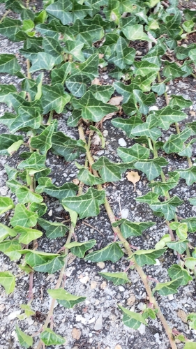
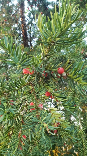
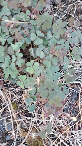
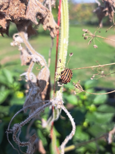
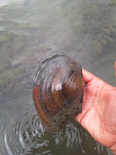
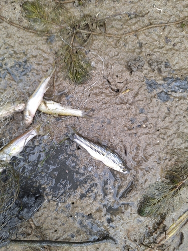
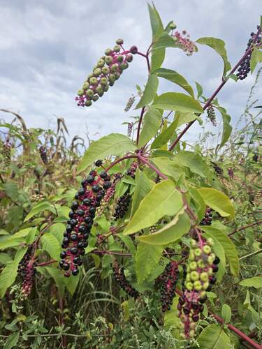
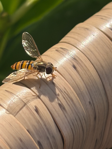
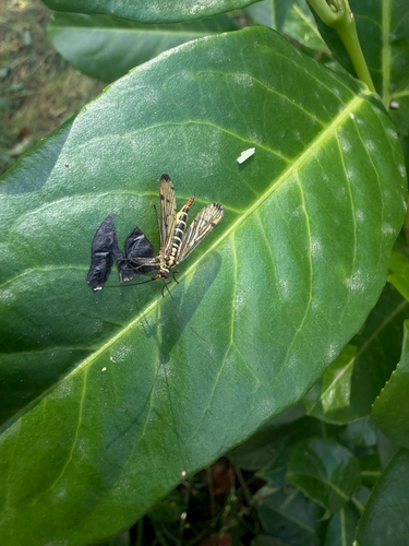
Research-grade observations from iNaturalist (within ~15 mi).
Events
Gallery
Sources
- • Wikipedia
- • Wikidata
- • iNaturalist
- • Open-Meteo / sunrise-sunset.org
- • Wikipedia Pageviews API