Browse / Croatia / Split-Dalmatia / Maovice
Maovice
Split-Dalmatiavillage
Total population
380
Demographic figures from Croatian Bureau of Statistics. Overview below cites Wikipedia and may reference a different year.
City facts
Facts from Wikidata (CC0).
Overview
Maovice is a small village in Split-Dalmatia county, Croatia. Maovice is a settlement in the Vrlika municipality, and has a population of 494. The majority of the population are Croats.
Read more on WikipediaHistory & geography
History
In the 17th century, Maovice was largely settled by new inhabitants from Croatia and Bosnia. Austrians gave to the new inhabitants land in exchange for fighting against the Ottomans. From 1869 to 1889 the settlement was called Mahovice, and from 1890 to 1910 Mavice. It consists of two villages, Gornje Maovice and Donje Maovice. Parts of a settlement are hamlets: * Bijuk * Donje Maovice * Gornje Maovice * Pod Umcem * Radinje * Svilaja Between Gornje and Donje Maovice there is a small Catholic Church (crkva sv. Jure), which was built in 1901 on the foundations of an older Croatian Roman Catholic Church, of which there is only part of the wall facades left. The church is a one-longitudinal-nave structure and the external dimensions of the nave are 15x8 m. Sanctuary is square apses with dimensions of 4.5x6 m. A new bell-tower was added recently. In village there is an old Stechak, but it is unknown from what period. In the 20th century at some point, Maovice had more than 1500 inhabitants. Some of them left because of poverty, others left for education and work in bigger towns. The most recent depopulation was as a result of war. As part of Operation Storm Maovice was liberated by the Croatian Army on August 6, 1995.
Excerpted from the corresponding Wikipedia article (CC BY-SA).
Geography
Coordinates & boundaries from the US Census TIGER/Line shapefiles.
Climate
Air quality
Walkability
Amenities nearby
Wildlife & biodiversity
Earthquake history
Photos
Sights & places nearby
Notable people from here


People born within ~10 km, from Wikidata (CC0). Click any name for their Wikipedia article.
Geography & sun
Elevation, sunrise/sunset and daylight from Open-Meteo. Solar climatology from NASA POWER.
Nearby airports
Public attention
Pageview totals from the Wikimedia Pageviews API.
Books about this place
Recent natural events nearby
Ground air-quality sensors
Recently spotted species
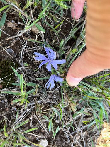
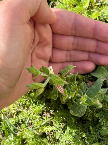
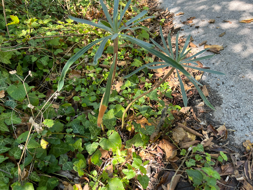
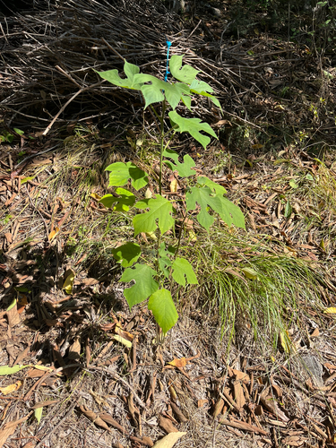
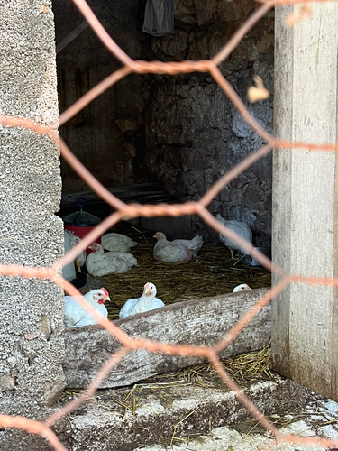
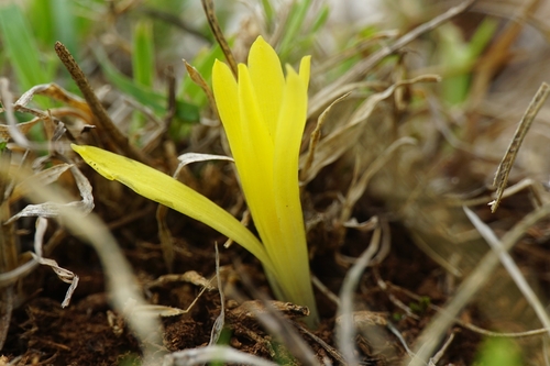
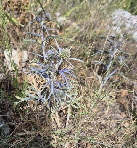
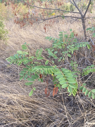
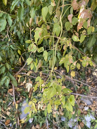
Research-grade observations from iNaturalist (within ~15 mi).
Events
Gallery
Sources
- • Wikipedia
- • Wikidata
- • iNaturalist
- • Open-Meteo / sunrise-sunset.org
- • Wikipedia Pageviews API