Browse / Croatia / Dubrovnik-Neretva / Mokošica
Mokošica
Dubrovnik-Neretvavillage

Mokošica
Total population
2,193
Demographic figures from Croatian Bureau of Statistics. Overview below cites Wikipedia and may reference a different year.
City facts
Facts from Wikidata (CC0).
Overview
Mokošica is a settlement in the city of Dubrovnik in Croatia. As a suburb, it consists of the old Mokošica and the new Mokošica.
Read more on WikipediaHistory & geography
History
From the 16th century onwards Mokošica was the summer location for the citizens of Dubrovnik (Houses of Bona, Zuzorić, Ragnina and Giorgi). The most important building is Gozze-Giorgi (Sabino Giorgi) villa where, in 1814, the council met for the last time to restore the Republic of Ragusa. Nearby, there is Mokošica Villa Zamagna with a small chapel as well as ruins of a medieval church St. Pancras. During the war in Croatia, around November 21, 1991, New and Old Mokošica were invaded and occupied by the Yugoslav People's Army (JNA), Serbian and Montenegrin armies. Even though the Yugoslav forces withdrew from both Mokošicas on May 26, 1992, bombing still continued throughout summer 1992 and again in mid-August 1995 following the fall of the Serbian Krajina. New Mokošica recorded less destruction than the old town. It is believed that this was the case because members of guerrilla units were stationed in Old Mokošica.
Excerpted from the corresponding Wikipedia article (CC BY-SA).
Geography
Coordinates & boundaries from the US Census TIGER/Line shapefiles.
Climate
Air quality
Walkability
Amenities nearby
Wildlife & biodiversity
Earthquake history
Photos
Sights & places nearby
Notable people from here


People born within ~10 km, from Wikidata (CC0). Click any name for their Wikipedia article.
Geography & sun
Elevation, sunrise/sunset and daylight from Open-Meteo. Solar climatology from NASA POWER.
Nearby airports
Public attention
Pageview totals from the Wikimedia Pageviews API.
Books about this place
Recent natural events nearby
Ground air-quality sensors
Recently spotted species
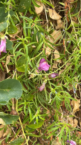
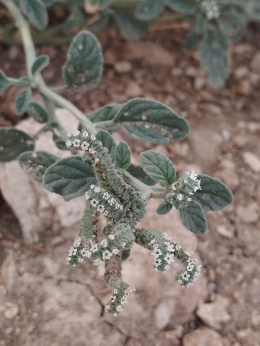
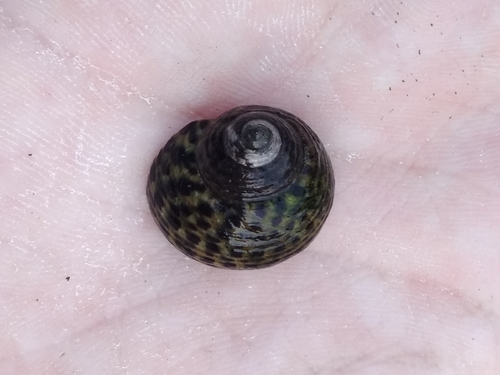
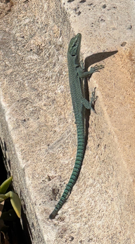
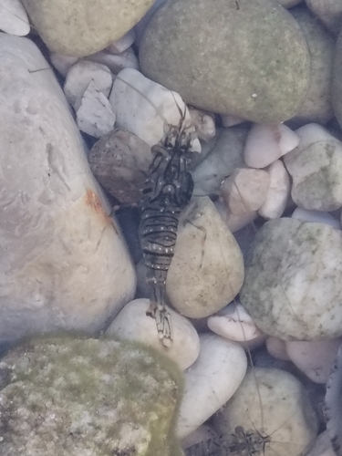
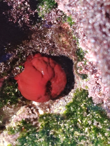
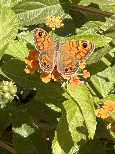
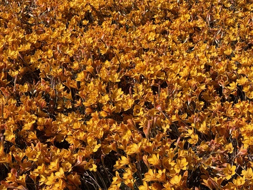
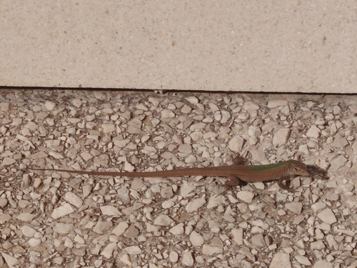
Research-grade observations from iNaturalist (within ~15 mi).
Events
Gallery
Sources
- • Wikipedia
- • Wikidata
- • iNaturalist
- • Open-Meteo / sunrise-sunset.org
- • Wikipedia Pageviews API