Browse / Croatia / Primorje-Gorski Kotar / Mrzla Vodica
Mrzla Vodica
Primorje-Gorski Kotarvillage

Mrzla Vodica
Total population
16
Demographic figures from Croatian Bureau of Statistics. Overview below cites Wikipedia and may reference a different year.
City facts
Facts from Wikidata (CC0).
Overview
Mrzla Vodica is a village in Croatia, in the Lokve municipality, in Primorje-Gorski Kotar County. It is near Lake Lokve.
Read more on WikipediaHistory & geography
History
In 1860–1879, Matija Mažuranić wrote a 62 folio manuscript today titled Writings on the Building of Roads in Gorski Kotar and Lika (), today with signature HR-ZaNSK R 6424. A 21 folio manuscript dated 1872 titled Darstellung der Entstehung des Baues ... der Luisenstrasse together with a translation by I. Mikloušić is kept as HR-ZaNSK R 4572. After the Lujzijana was built, the Družtvo lujzinske ceste constructed a building in Mrzla Vodica together with stables. In 1874, the society would sell all its assets along the road, including those in Mrzla Vodica. A 22 December 1939 decision as part of agrarian reforms by Ban Šubašić to confiscate the local forest property of the Thurn and Taxis family, Kálmán Ghyczy and Nikola Petrović resulted in a legal dispute known as the Thurn and Taxis Affair, in part because of the relative status of the family and in part because of the proximity to the Italian border. In October 2012, the HGSS had to rescue a mushroom hunter in Mrzla Vodica. On 12 December 2017, a severe wind hit the area, blocking traffic along the Ž5032 road. On 26 March 2022 at 12:18 the ŽVOC Rijeka received a call about a wildfire in the area. It was localised by 14:30 and put out at 17:40 by JVP Delnice, DVD Delnice, DVD Lokve and DVD Crni Lug.
Excerpted from the corresponding Wikipedia article (CC BY-SA).
Geography
Coordinates & boundaries from the US Census TIGER/Line shapefiles.
Climate
Air quality
Walkability
Amenities nearby
Wildlife & biodiversity
Earthquake history
Photos
Sights & places nearby
Notable people from here


People born within ~10 km, from Wikidata (CC0). Click any name for their Wikipedia article.
Geography & sun
Nearby airports
Public attention
Books about this place
Recent natural events nearby
Ground air-quality sensors
Recently spotted species
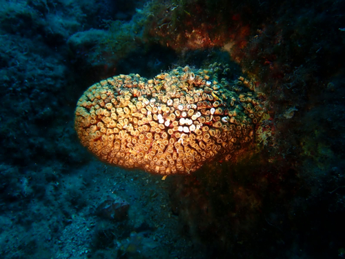
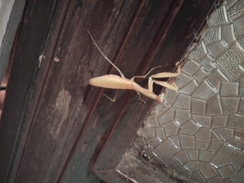
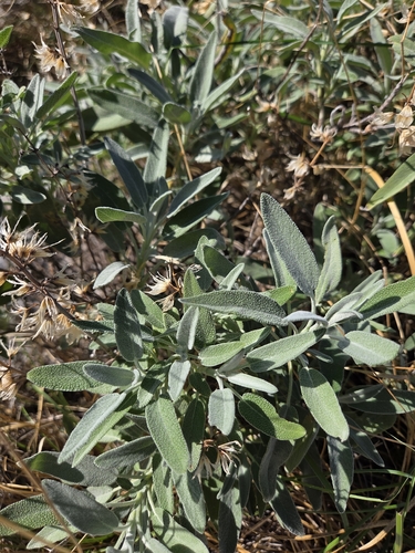
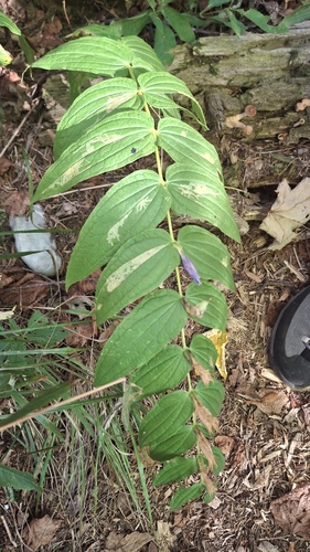
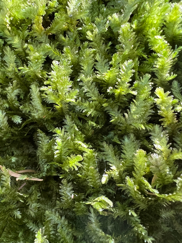
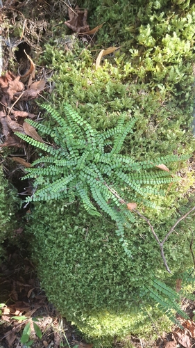
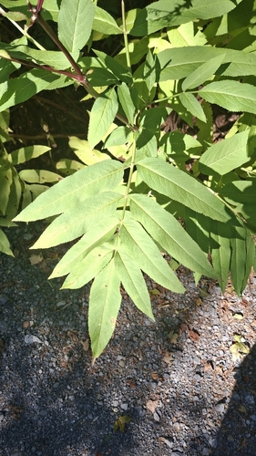
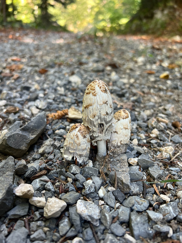
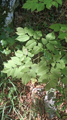
Research-grade observations from iNaturalist (within ~15 mi).
Events
Gallery
Sources
- • Wikipedia
- • Wikidata
- • iNaturalist