Browse / Croatia / Istria / Muntić
Muntić
Istriavillage

Muntić
Total population
400
Demographic figures from Croatian Bureau of Statistics. Overview below cites Wikipedia and may reference a different year.
City facts
Facts from Wikidata (CC0).
Overview
Muntić is a village in Southeastern Istria, Croatia. The etymological meaning is traced to the Latin, mòns, or monticulus, which means hill or little mountain.
Read more on WikipediaHistory & geography
History
The region was inhabited during the Prehistory age. Pre-Roman fortress ruins exist near Nesactium and the village now known as Loborika. Dating after the Roman age, villa rustica remains can be seen at Radeki, at the Stancija Wasserman (Vasimova stancija). Historical evidence shows that Muntić was built over an ancient settlement of the Roman legion called Sors Rumeianum (Rumejarum), Rumianum or Rumiarum from the 1st century BC They settled in the area to conquer the Histrian hillfort of Nesactium, which was the most important spot of the entire peninsula. It was ruled by the Histrian's leader (king), Epulon, until they lost a battle with the Romans in 177 BC A large pond with the name Runjan (Rugnan, referencing Rumeianum) can still be found in Muntić today. Muntić is mentioned several times later in history, the most relevant chronicles date to 1028, when villagers joined the Pula diocese fiefdom. Due to a cession, Muntić become a part of the Patriarchate of Aquileia. Because of frequent pestilence and wars, a large area of southern Istria was almost uninhabited until the 15-16th century. During that period, many refugees from the south Adriatic arrived -mostly from Dalmatia -to escape the invasion of the Ottomans. The newly established village was at that time owned by G.Barbarigo, and it was given the name of Muntić (until the 17th century it was common to find the name Montecchio sive Rumian). The Muntić parish church of Saint Jerome, has a single nave (aisle) and double open arch belfry on its facade, with a bell from 1396 coined in Venice by the foundry of Marco Vendramo. The church is probably from the 12th century, and it is referred to as needing reconstruction during the 14th century. It is in the Romanesque style mixed with early Gothic. The interior…
Geography
The village of Muntić is located 9 km (5.6 mi) from the ancient town of Pula, near the Pula airport. Muntić is situated on the top of a hill, from which you have a complete view of the southeastern Pula territory. As you head east away from the village, you will find the pre-Roman site of Nesactium, and Budava bay. As per the tradition of rural Istria, Muntić is composed of old quarters mostly related to family clans, nicknames or ancestral names such as Brov, Zvonići, Placa, Barelini, Škabini (probably from Scabini), Markolovi, Krnjeli (commonly in Istria from the Friulian families arrived from Carnia), Čalići, etc.
Excerpted from the corresponding Wikipedia article (CC BY-SA).
Geography
Coordinates & boundaries from the US Census TIGER/Line shapefiles.
Climate
Air quality
Walkability
Amenities nearby
Wildlife & biodiversity
Earthquake history
Photos
Sights & places nearby
Notable people from here
Nearby places in Istria
- Valtura1.4 mi away · pop. 875
- Pavićini2.6 mi away · pop. 68
- Kavran2.7 mi away · pop. 99
- Pinezići2.9 mi away · pop. 47
- Mutvoran3.1 mi away · pop. 25
- Mali Vareški3.1 mi away · pop. 94
- Galižana3.8 mi away · pop. 1,501
- Šišan5.1 mi away · pop. 849
- Vodnjan5.3 mi away · pop. 3,133
- Orbanići5.7 mi away · pop. 164
- Bratulići5.8 mi away · pop. 47
- Manjadvorci6 mi away · pop. 187
Geography & sun
Elevation, sunrise/sunset and daylight from Open-Meteo. Solar climatology from NASA POWER.
Nearby airports
Public attention
Pageview totals from the Wikimedia Pageviews API.
Books about this place
Recent natural events nearby
Ground air-quality sensors
Recently spotted species
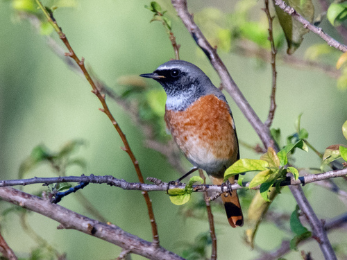
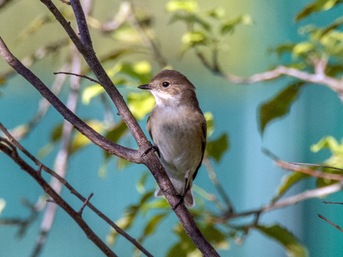
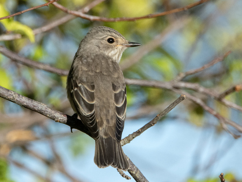
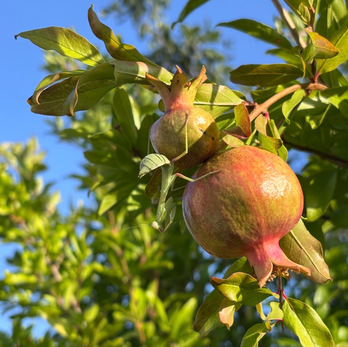
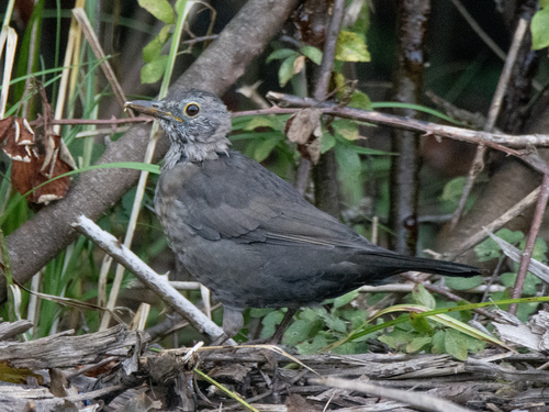
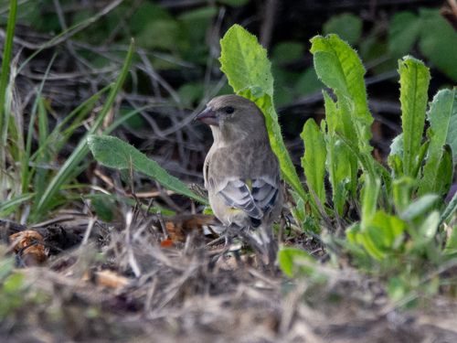
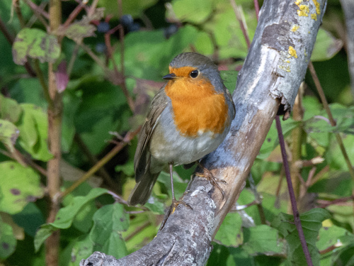
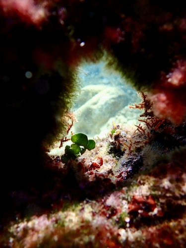
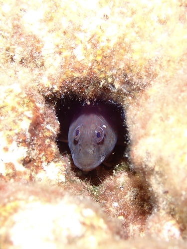
Research-grade observations from iNaturalist (within ~15 mi).
Events
Gallery
Sources
- • Wikipedia
- • Wikidata
- • iNaturalist
- • Open-Meteo / sunrise-sunset.org
- • Wikipedia Pageviews API