Browse / Croatia / Osijek-Baranja / Našice
Našice
Osijek-Baranjatown

Našice
Total population
7,307
Demographic figures from Croatian Bureau of Statistics. Overview below cites Wikipedia and may reference a different year.
City facts
Facts from Wikidata (CC0).
Overview
Našice is a town in eastern Croatia, located on the northern slopes of the Krndija mountain in eastern Slavonia, 51 km southwest of regional hub Osijek. Administratively it belongs to Osijek-Baranja County.
Read more on WikipediaHistory & geography
History
The town was first mentioned in 1229 under the name of Nekche. In the 13th century, the Knights Templar came to Našice and built a church. It was conquered by Ottoman Empire in 1541 and was part of Sanjak of Pojega till Austrian conquest in 1687. In the late 19th and early 20th century, Našice was a district capital in the Virovitica County of the Kingdom of Croatia-Slavonia. The Small Pejačević Manor in Našice employed an innovative solution to protect it from damp and ground water, being built on a trough constructed from reinforced concrete. It is built in Neoclassical Revival style. Significant part of town was a feudal property of the Pejačević family until 1945. Count Vincencije Ljudevit Pejačević had a monumental castle built in 1812. With the arrival of communism in Eastern and Central Europe, the family was expropriated and exiled. With the return of democracy, family properties were returned partially to its members. The DVD "Papuk Našice" was founded in 1986, and the DVD "Našicement" in 1990. In September 1991 Croatian forces in Našice captured military barracks of Yugoslav People's Army.
Geography
Našice is located on the D2 state road Varaždin–Virovitica–Našice–Osijek and the Varaždin–Dalj railway.
Excerpted from the corresponding Wikipedia article (CC BY-SA).
Geography
Coordinates & boundaries from the US Census TIGER/Line shapefiles.
Climate
Air quality
Walkability
Amenities nearby
Wildlife & biodiversity
Earthquake history
Photos
Sights & places nearby
Notable people from here


People born within ~10 km, from Wikidata (CC0). Click any name for their Wikipedia article.
Nearby places in Osijek-Baranja
- Markovac Našički1.3 mi away · pop. 1,396
- Martin1.3 mi away · pop. 945
- Makloševac1.9 mi away · pop. 114
- Brezik Našički2 mi away · pop. 336
- Zoljan2.1 mi away · pop. 637
- Velimirovac2.3 mi away · pop. 946
- Vukojevci2.9 mi away · pop. 713
- Ceremošnjak3.1 mi away · pop. 81
- Ličko Novo Selo3.3 mi away · pop. 78
- Gabrilovac3.3 mi away · pop. 57
- Seona3.5 mi away · pop. 317
- Donja Motičina3.6 mi away · pop. 990
Geography & sun
Elevation, sunrise/sunset and daylight from Open-Meteo. Solar climatology from NASA POWER.
Nearby airports
Public attention
Pageview totals from the Wikimedia Pageviews API.
Books about this place
Recent natural events nearby
Ground air-quality sensors
Recently spotted species
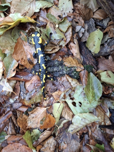
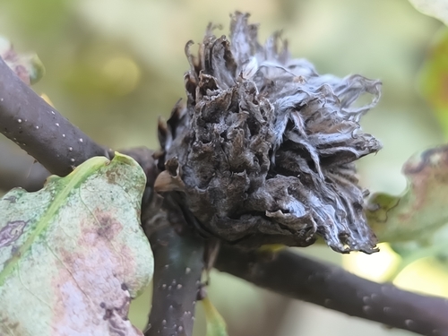
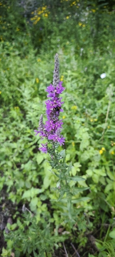
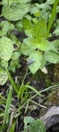
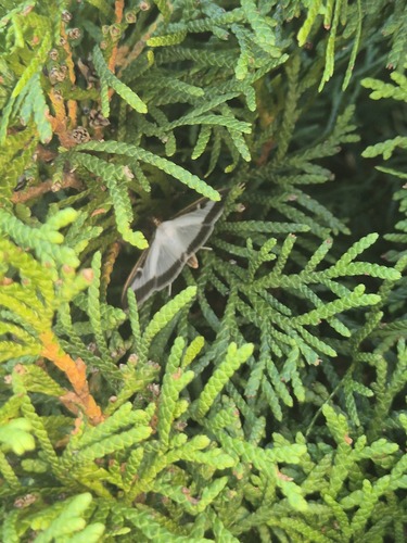
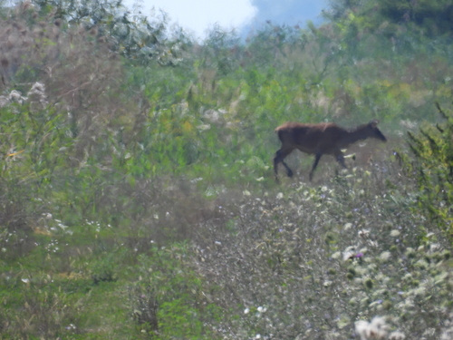
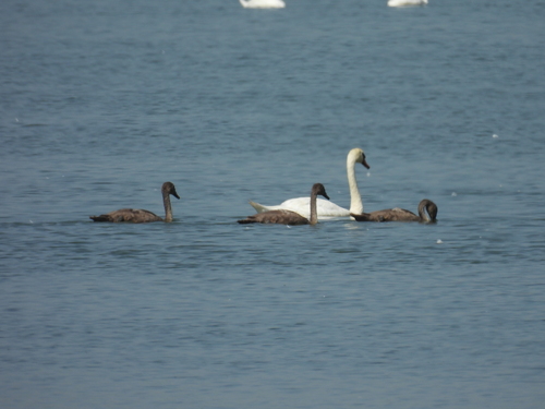
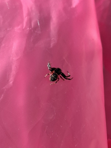
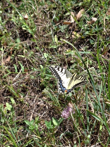
Research-grade observations from iNaturalist (within ~15 mi).
Events
Notable, recurring, and historical events associated with Našice, sourced from Wikidata.
- International Festival of Artistic Tamburitza Musicannual event
annual music festival in Osijek and Našice, Croatia
Source: Wikidata (CC0).
Gallery
Sources
- • Wikipedia
- • Wikidata
- • iNaturalist
- • Open-Meteo / sunrise-sunset.org
- • Wikipedia Pageviews API