Browse / Croatia / Istria / Nedešćina
Nedešćina
Istriavillage

Nedešćina
Total population
604
Demographic figures from Croatian Bureau of Statistics. Overview below cites Wikipedia and may reference a different year.
City facts
Facts from Wikidata (CC0).
Overview
Nedešćina is a village in the Istria County in Croatia. It is part of Sveta Nedelja municipality situated on the Labinština peninsula in Istria.
Read more on WikipediaHistory & geography
History
Nedešćina and its surroundings were inhabited as early as the Bronze Age, as evidenced by the prehistoric fortifications of the Illyrian-Celtic tribes. By the end of the 13th century there was a Benedictine Abbey of the Holy Trinity in the place. From Istrian Demarcation it is learned that the corner of the church of St. Trojica was located on the border of three communes: Šumber, Labin, and Plomin. Nedešćina has been the center of the parish since 1632. Today's Church of the Holy Trinity was built in 1897 on the site of an older one. At the beginning of the 20th century there are two elementary schools in the village, one being in Croatian and one in Italian. The settlement is also known for its fairs, which were held on June 13, the day of St. Anton, and on October 16, when the famous livestock fair was held. The latter is still celebrated as the folk festival "Šesnajst otobra".
Excerpted from the corresponding Wikipedia article (CC BY-SA).
Geography
Coordinates & boundaries from the US Census TIGER/Line shapefiles.
Climate
Air quality
Walkability
Amenities nearby
Wildlife & biodiversity
Earthquake history
Photos
Sights & places nearby
Notable people from here


People born within ~10 km, from Wikidata (CC0). Click any name for their Wikipedia article.
Nearby places in Istria
- Jurazini0.7 mi away · pop. 90
- Santalezi0.8 mi away · pop. 170
- Vrećari0.8 mi away · pop. 168
- Štrmac1.3 mi away · pop. 439
- Boljevići1.8 mi away · pop. 86
- Cere1.8 mi away · pop. 26
- Stepčići1.9 mi away · pop. 40
- Županići2.3 mi away · pop. 138
- Marceljani2.6 mi away · pop. 192
- Vozilići2.7 mi away · pop. 236
- Kršan2.7 mi away · pop. 238
- Veli Golji2.8 mi away · pop. 72
Geography & sun
Elevation, sunrise/sunset and daylight from Open-Meteo. Solar climatology from NASA POWER.
Nearby airports
Public attention
Pageview totals from the Wikimedia Pageviews API.
Books about this place
Recent natural events nearby
Ground air-quality sensors
Recently spotted species
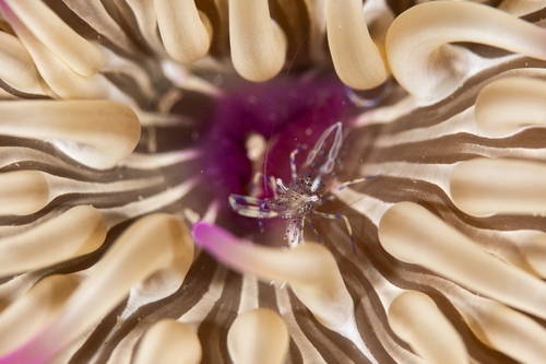
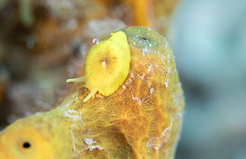
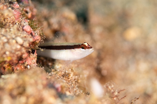
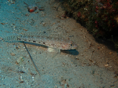
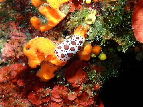
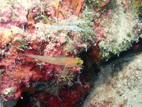
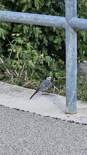
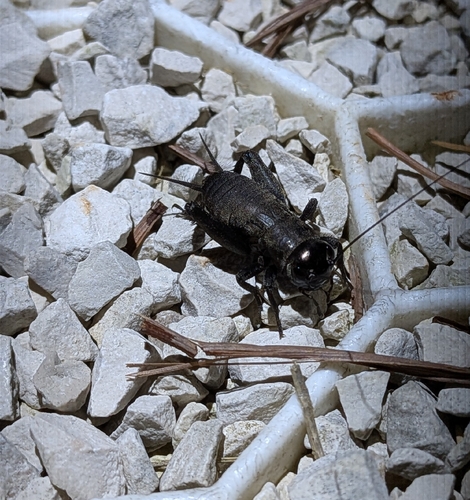
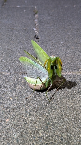
Research-grade observations from iNaturalist (within ~15 mi).
Events
Gallery
Sources
- • Wikipedia
- • Wikidata
- • iNaturalist
- • Open-Meteo / sunrise-sunset.org
- • Wikipedia Pageviews API