Browse / Croatia / Virovitica-Podravina / Noskovačka Dubrava
Noskovačka Dubrava
Virovitica-Podravinavillage
Total population
59
Air quality index
Demographic figures from Croatian Bureau of Statistics. Overview below cites Wikipedia and may reference a different year.
City facts
Overview
Noskovačka Dubrava is a tiny village that lies in Virovitica-Podravina, Croatia. The population stands at approximately 59. On the world map it falls within the Eastern Hemisphere, specifically at 45.775°, 17.830°. Open solar datasets indicate about 1,324 kWh/m² of solar irradiance per year, combined with sunshine for roughly 52% of daylight hours. Climatically, locations at this latitude tend to experience four distinct seasons with warm summers and cold winters. Additional figures on demographics, climate, geography and points of interest appear in the sections that follow, all drawn from open public datasets.
Summary composed automatically from structured open data on this page. See our Terms for details.
History & geography
Geography
Coordinates & boundaries from the US Census TIGER/Line shapefiles.
Climate
Air quality
Current readings from Open-Meteo Air Quality API (Copernicus CAMS European reanalysis).
Walkability
Amenities nearby
Wildlife & biodiversity
Most-observed species
- Great Crested GrebePodiceps cristatus (Linnaeus, 1758) · Aves119
- MallardAnas platyrhynchos Linnaeus, 1758 · Aves102
- Eurasian CootFulica atra Linnaeus, 1758 · Aves100
- Gray/Purple HeronArdea cinerea Linnaeus, 1758 · Aves96
- Mute SwanCygnus olor (J.F.Gmelin, 1789) · Aves95
- White-tailed EagleHaliaeetus albicilla (Linnaeus, 1758) · Aves77
- Ferruginous DuckAythya nyroca (Güldenstädt, 1770) · Aves72
- Great EgretArdea alba Linnaeus, 1758 · Aves68
Citizen-science & research observations from the Global Biodiversity Information Facility (GBIF).
Earthquake history
Most recent
- M 4 — 2026-05-059 km WNW of Kupusina, Serbia
- M 3.2 — 2020-06-263 km ESE of Zdenci, Croatia
- M 4.5 — 2019-03-073 km SSW of Böhönye, Hungary
- M 4.4 — 2016-10-071 km NNW of Piškorevci, Croatia
- M 3.6 — 2011-08-185 km NNW of Maglajani, Bosnia and Herzegovina
- M 4 — 2008-05-082 km WSW of ?akovo, Croatia
Events from the USGS Earthquake Catalog (global) (FDSN Event Web Service).
Photos
Sights & places nearby
Notable people from here


People born within ~10 km, from Wikidata (CC0). Click any name for their Wikipedia article.
Nearby places in Virovitica-Podravina
- Starin2 mi away · pop. 80
- Vraneševci2.5 mi away · pop. 152
- Ilmin Dvor3.5 mi away · pop. 96
- Novi Senkovac3.7 mi away · pop. 301
- Sopjanska Greda4.1 mi away · pop. 35
- Čađavički Lug4.2 mi away · pop. 277
- Nova Šarovka4.2 mi away · pop. 250
- Markovo4.4 mi away · pop. 131
- Zvonimirovac4.6 mi away · pop. 253
- Donje Bazije5.2 mi away · pop. 148
- Grabić5.3 mi away · pop. 122
- Gornje Viljevo5.7 mi away · pop. 31
Geography & sun
Elevation, sunrise/sunset and daylight from Open-Meteo. Solar climatology from NASA POWER.
Nearby airports
Public attention
Books about this place
Recent natural events nearby
Ground air-quality sensors
Recently spotted species
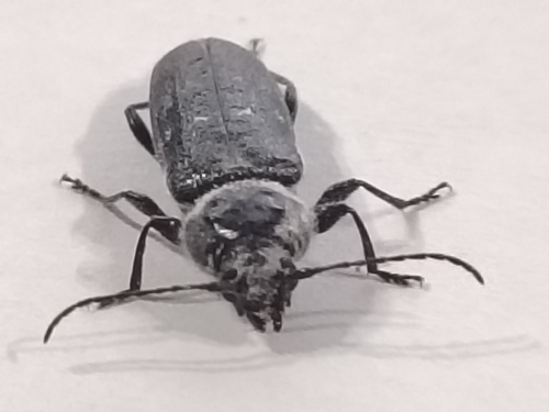

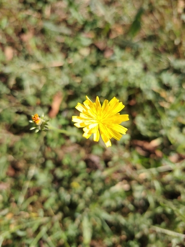
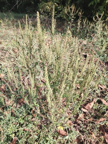

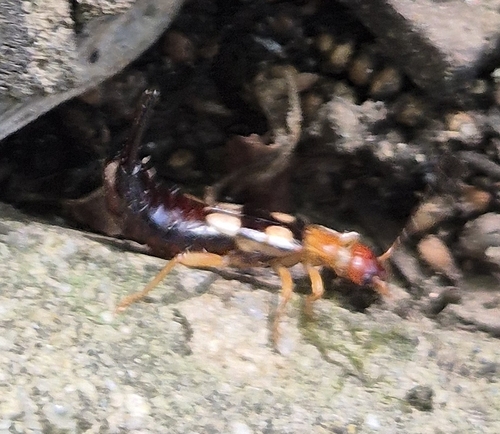
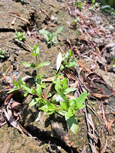
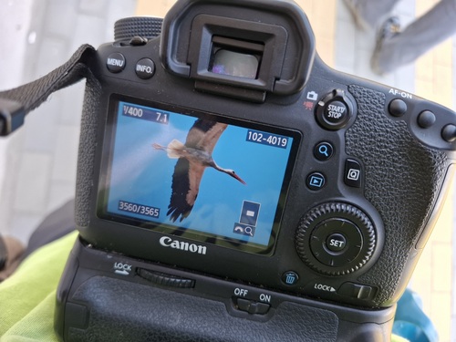
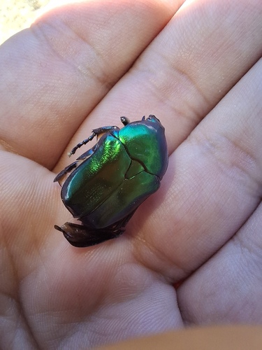
Research-grade observations from iNaturalist (within ~15 mi).
Events
Gallery
Sources
- • Wikidata
- • Open-Meteo Air Quality (CAMS)
- • USGS Earthquake Catalog (global feed)
- • GBIF (Global Biodiversity Information Facility)
- • iNaturalist
- • Open-Meteo / sunrise-sunset.org