Browse / Croatia / Brod-Posavina / Nova Gradiška
Nova Gradiška
Brod-Posavinatown

Nova Gradiška
Total population
9,820
Demographic figures from Croatian Bureau of Statistics. Overview below cites Wikipedia and may reference a different year.
City facts
Sister cities
Facts from Wikidata (CC0).
Overview
Nova Gradiška is a town located in the Brod-Posavina County of Croatia, population 14,229 (2011). It is located in the historic region of Slavonia, near the border to Bosnia and Herzegovina.
Read more on WikipediaHistory & geography
History
Nova Gradiška is often referred to as The Youngest Town. The town of Nova Gradiška was founded in 1748 as an outpost in the Military Frontier and was first named Friedrichsdorf in German. Already in 1750 it was renamed Neu-Gradischka which later became Nova Gradiška in Croatian. The Hungarian name is Újgradiska. Before 1881, Nova Gradiška (named NEU-GRADISKA before 1850) was part of the Austrian monarchy (Kingdom of Croatia-Slavonia after the compromise of 1867), in the Slavonian Military Frontier, Gradiskaner Regiment N°VIII. The first building constructed was the church of Saint Tereza, which is an important monument of baroque architecture in Slavonia. The old core of the town comprises the church of Saint Terezija and the old court house and prison from the 18th century. Between 1881 and 1918, Nova Gradiška was a district capital in the Požega County of the Kingdom. On 5 July 2021, a brief tornado hit Nova Gradiška.
Excerpted from the corresponding Wikipedia article (CC BY-SA).
Geography
Coordinates & boundaries from the US Census TIGER/Line shapefiles.
Climate
Air quality
Walkability
Amenities nearby
Wildlife & biodiversity
Earthquake history
Photos
Sights & places nearby
Notable people from here
Nearby places in Brod-Posavina
- Kovačevac1.4 mi away · pop. 562
- Zapolje4.2 mi away · pop. 399
- Cernička Šagovina4.6 mi away · pop. 312
- Gorice5.2 mi away · pop. 175
- Opatovac5.4 mi away · pop. 332
- Gornji Crnogovci6.2 mi away · pop. 98
- Staro Petrovo Selo7.1 mi away · pop. 1,572
- Starci8.1 mi away · pop. 4
- Dolina8.3 mi away · pop. 254
- Orubica8.6 mi away · pop. 633
- Benkovac9.4 mi away · pop. 120
- Donji Varoš9.5 mi away · pop. 284
Geography & sun
Elevation, sunrise/sunset and daylight from Open-Meteo. Solar climatology from NASA POWER.
Nearby airports
Public attention
Pageview totals from the Wikimedia Pageviews API.
Books about this place
Recent natural events nearby
Ground air-quality sensors
Recently spotted species
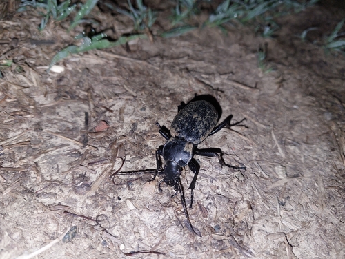
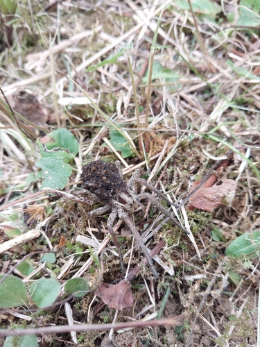
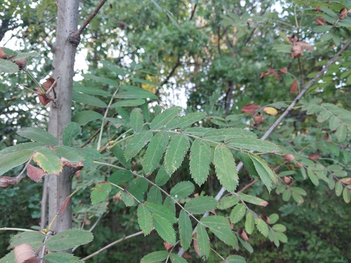
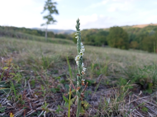
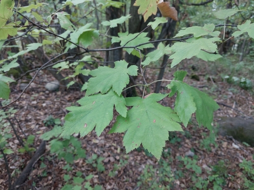
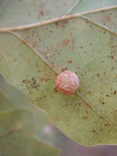
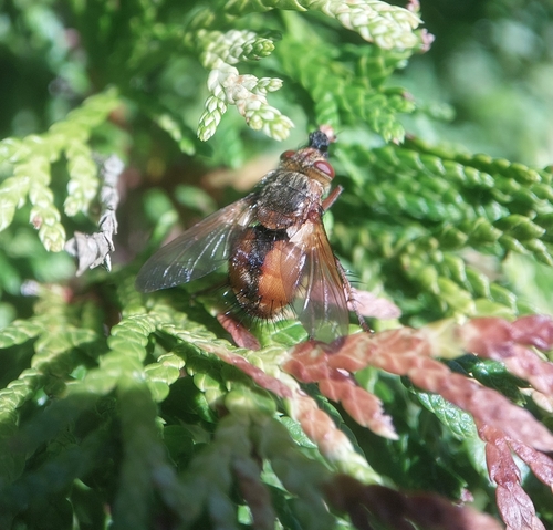
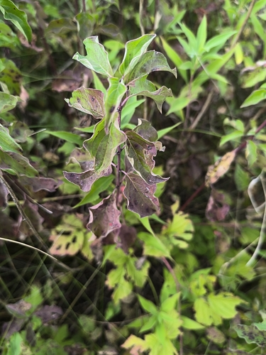
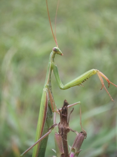
Research-grade observations from iNaturalist (within ~15 mi).
Events
Gallery
Sources
- • Wikipedia
- • Wikidata
- • iNaturalist
- • Open-Meteo / sunrise-sunset.org
- • Wikipedia Pageviews API