Browse / Croatia / Šibenik-Knin / Nunić
Nunić
Šibenik-Kninvillage
Total population
110
Demographic figures from Croatian Bureau of Statistics. Overview below cites Wikipedia and may reference a different year.
City facts
Facts from Wikidata (CC0).
Overview
Nunić is a village in the municipality of Kistanje, in the Bukovica region of Croatia.
Read more on WikipediaHistory & geography
Geography
Coordinates & boundaries from the US Census TIGER/Line shapefiles.
Climate
Air quality
Walkability
Amenities nearby
Wildlife & biodiversity
Most-observed species
- MallardAnas platyrhynchos Linnaeus, 1758 · Aves115
- Eurasian BlackbirdTurdus merula Linnaeus, 1758 · Aves102
- Yellow-legged GullLarus michahellis J.F.Naumann, 1840 · Aves96
- Egyptian GrasshopperAnacridium aegyptium (Linnaeus, 1764) · Insecta89
- Barn SwallowHirundo rustica Linnaeus, 1758 · Aves86
- Cirl BuntingEmberiza cirlus Linnaeus, 1767 · Aves79
- Subalpine WarblerCurruca cantillans (Pallas, 1764) · Aves77
- European Turtle-DoveStreptopelia turtur (Linnaeus, 1758) · Aves75
Citizen-science & research observations from the Global Biodiversity Information Facility (GBIF).
Earthquake history
Most recent
- M 4.1 — 2026-05-2513 km NNW of Hrvace, Croatia
- M 3.7 — 2026-03-041 km E of Drniš, Croatia
- M 4.3 — 2026-02-176 km NNW of Zabrišće, Bosnia and Herzegovina
- M 4.6 — 2025-02-115 km NE of Starigrad, Croatia
- M 3.8 — 2023-12-275 km N of Grohote, Croatia
- M 2.7 — 2023-12-273 km SSE of Okrug Gornji, Croatia
Events from the USGS Earthquake Catalog (global) (FDSN Event Web Service).
Photos
Sights & places nearby
Notable people from here
Nearby places in Šibenik-Knin
- Modrino Selo1.7 mi away
- Kolašac1.8 mi away
- Zečevo2.8 mi away · pop. 63
- Gošić3.4 mi away · pop. 46
- Biovičino Selo3.5 mi away
- Parčić3.8 mi away · pop. 22
- Varivode4.4 mi away
- Đevrske4.7 mi away · pop. 293
- Kistanje5.8 mi away · pop. 1,909
- Krnjeuve5.8 mi away · pop. 74
- Smrdelje6.1 mi away · pop. 111
- Kakanj6.6 mi away · pop. 49
Geography & sun
Elevation, sunrise/sunset and daylight from Open-Meteo. Solar climatology from NASA POWER.
Nearby airports
Public attention
Pageview totals from the Wikimedia Pageviews API.
Books about this place
Recent natural events nearby
Ground air-quality sensors
Recently spotted species
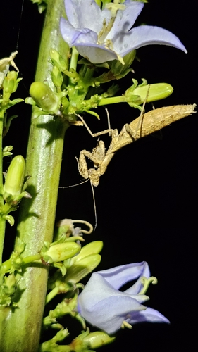
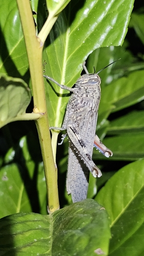
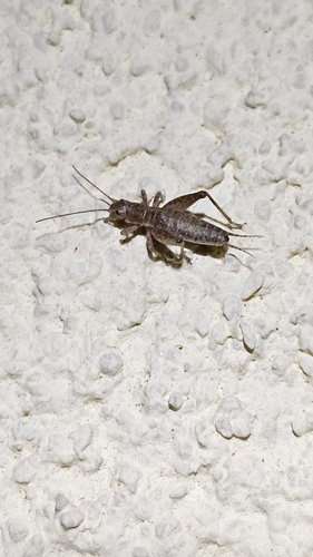
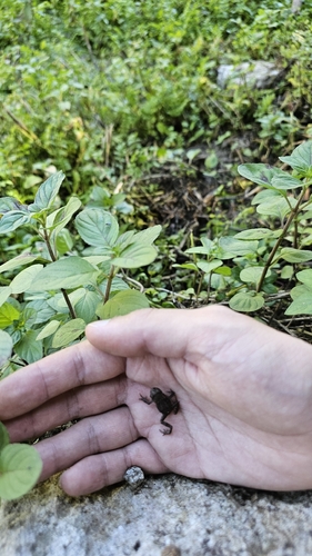
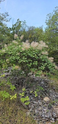
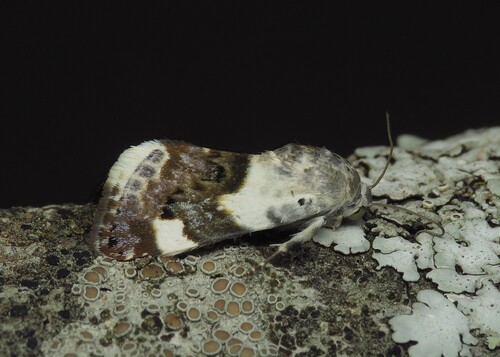
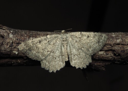
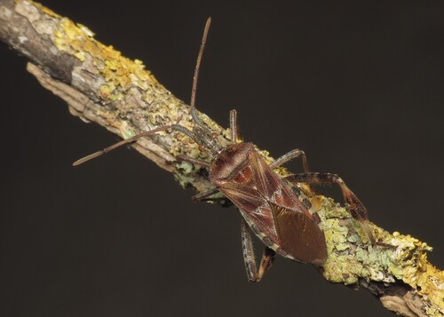
Research-grade observations from iNaturalist (within ~15 mi).
Events
Gallery
Sources
- • Wikipedia
- • Wikidata
- • USGS Earthquake Catalog (global feed)
- • GBIF (Global Biodiversity Information Facility)
- • iNaturalist
- • Open-Meteo / sunrise-sunset.org
- • Wikipedia Pageviews API