Browse / Croatia / Primorje-Gorski Kotar / Omišalj
Omišalj
Primorje-Gorski Kotarvillage

Omišalj
Total population
1,868
Demographic figures from Croatian Bureau of Statistics. Overview below cites Wikipedia and may reference a different year.
City facts
Facts from Wikidata (CC0).
Overview
Omišalj is a coastal municipality in the north-west of the island of Krk in Croatia. The population of Omišalj itself is 1,887 (2021), while the municipality also includes the nearby village of Njivice, bringing the total population to 2,992. Omišalj is best known in modern times for hosting the Krk Bridge, the Rijeka Airport as well as Port of Rijeka oil terminal.
Read more on WikipediaHistory & geography
History
Omišalj is located close to one of the oldest settlements on Krk, dating from the 1st century when it was built by the Romans and named Fulfinum. The town was built on the cliff overlooking the bay of Kvarner, some 80 meters above sea level. It is the site of an early Christian basilica. Omišalj was first mentioned in 1153 and is one of the oldest places on the island of Krk, an important Glagolitic and cultural center. The town was referred to in the 12th century as "Castri musculi": this is from the Latin Ad musculi, meaning "the place of shells". The land between the castles of Dobrinj and Omišalj, as well as the areas in and around Dubašnica and Poljica, were settled by Vlachs and Morlachs (originally Romanians who later diverged into Istro-Romanians) by Ivan VII Frankopan during the second half of the 15th century. They formed a community in the island of Krk that would last until 1875 when the last speaker of the Istro-Romanian dialect of the island died. Omišalj Baptismal Register.png|The final Glagolitic entry in Omišalj parish's baptismal register, by the cleric Nicholas in 1817
Excerpted from the corresponding Wikipedia article (CC BY-SA).
Geography
Coordinates & boundaries from the US Census TIGER/Line shapefiles.
Climate
Air quality
Walkability
Amenities nearby
Wildlife & biodiversity
Earthquake history
Photos
Sights & places nearby
Notable people from here


People born within ~10 km, from Wikidata (CC0). Click any name for their Wikipedia article.
Nearby places in Primorje-Gorski Kotar
- Vrbnik11 mi away · pop. 948
- Vrh11.2 mi away · pop. 846
- Homer13.3 mi away · pop. 272
- Viškovo14.2 mi away · pop. 3,602
- Lovran14.7 mi away · pop. 3,336
- Kraj14.7 mi away · pop. 98
- Opatija14.9 mi away · pop. 5,701
- Sroki14.9 mi away · pop. 1,979
- Mošćenice15 mi away · pop. 301
- Pobri15.4 mi away · pop. 1,114
- Studena16.9 mi away · pop. 382
- Draga Bašćanska17.1 mi away · pop. 253
Geography & sun
Elevation, sunrise/sunset and daylight from Open-Meteo. Solar climatology from NASA POWER.
Nearby airports
Public attention
Pageview totals from the Wikimedia Pageviews API.
Books about this place
Recent natural events nearby
Ground air-quality sensors
Recently spotted species
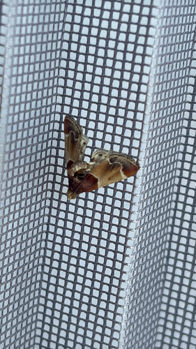
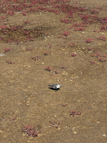
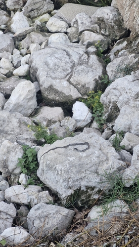
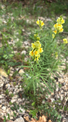
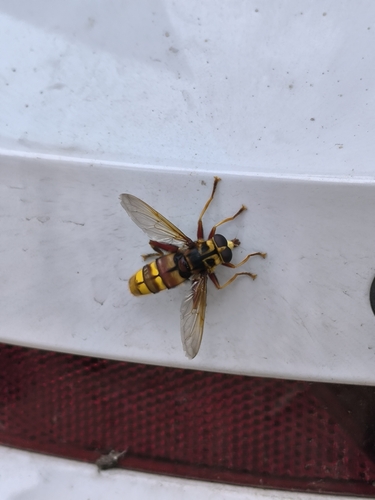
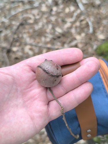
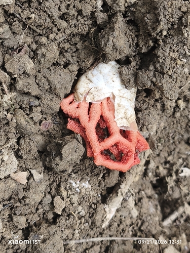
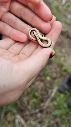
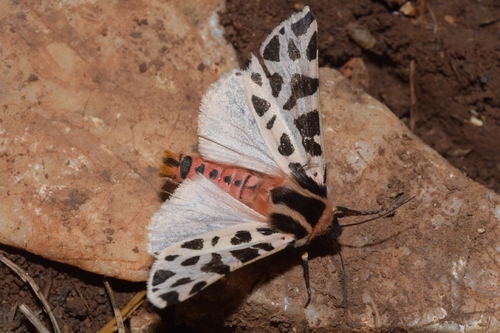
Research-grade observations from iNaturalist (within ~15 mi).
Events
Gallery
Sources
- • Wikipedia
- • Wikidata
- • iNaturalist
- • Open-Meteo / sunrise-sunset.org
- • Wikipedia Pageviews API