Browse / Croatia / Virovitica-Podravina / Orahovica
Orahovica
Virovitica-Podravinatown

Orahovica
Total population
3,384
Demographic figures from Croatian Bureau of Statistics. Overview below cites Wikipedia and may reference a different year.
City facts
Sister cities
Facts from Wikidata (CC0).
Overview
Orahovica is a town in Slavonia, Croatia. It is situated on the slopes of the mountain Papuk and positioned on the state road D2 Varaždin-Koprivnica-Našice-Osijek.
Read more on WikipediaHistory & geography
History
The name Orahovica is derived from the word orah 'walnut tree'. Orahovica was first officially mentioned in 1228 in a historical document issued by King Andrew II. Ružica Castle, not far from Orahovica, was first mentioned in 1357 as a royal estate. In the 15th century and the first half of the 16th century, the town was a thriving community owned by various patricians (Nikola Kont, Lovro Iločki, Ladislav Iločki, Ladislav More, etc.) Suleiman I, in his 1542 campaign, conquered Orahovica. It was renamed Rahoviçe and was initially a kaza centre in the Sanjak of Pojega, which was initially part of the Budin Eyalet (1542–1580), later in the Bosna Eyalet (1580–1600), and finally in the Kanije Eyalet. It became a notable sanjak centre in the Kanije Eyalet in 1601. Ottoman rule lasted until 1687. After the end of Ottoman rule, and up until the end of the 19th century, many prominent noble families, such as the Pejačević family and the Mihalović family, owned the town. In the late 19th century and early 20th century, Orahovica was part of Virovitica County of the Kingdom of Croatia-Slavonia. In the 20th century, the town was a centre of a large municipality with well-developed industry and agriculture. During the Croatian War of Independence, Orahovica was damaged by a number of shell attacks. It received the status of a town () in 1997.
Excerpted from the corresponding Wikipedia article (CC BY-SA).
Geography
Coordinates & boundaries from the US Census TIGER/Line shapefiles.
Climate
Air quality
Walkability
Amenities nearby
Wildlife & biodiversity
Earthquake history
Photos
Sights & places nearby
Notable people from here


People born within ~10 km, from Wikidata (CC0). Click any name for their Wikipedia article.
Nearby places in Virovitica-Podravina
- Donja Pištana1.4 mi away · pop. 239
- Nova Jošava2.1 mi away · pop. 182
- Magadinovac3.8 mi away · pop. 11
- Karlovac Feričanački4.3 mi away · pop. 12
- Čačinci4.9 mi away · pop. 2,110
- Humljani4.9 mi away · pop. 129
- Zdenci5.2 mi away · pop. 930
- Vojlovica5.2 mi away · pop. 18
- Slavonske Bare6 mi away · pop. 170
- Mikleuš6.9 mi away · pop. 840
- Brezovljani Vojlovički7.4 mi away · pop. 50
- Donje Predrijevo8.3 mi away · pop. 106
Geography & sun
Elevation, sunrise/sunset and daylight from Open-Meteo. Solar climatology from NASA POWER.
Nearby airports
Public attention
Pageview totals from the Wikimedia Pageviews API.
Books about this place
Recent natural events nearby
Ground air-quality sensors
Recently spotted species
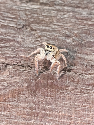
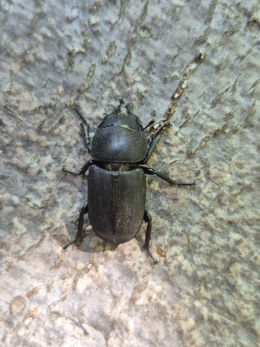
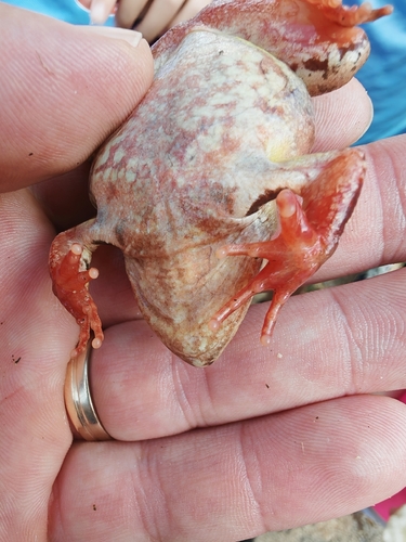
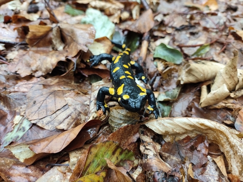
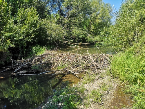
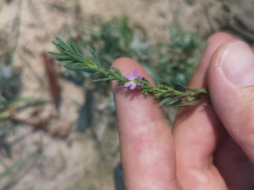
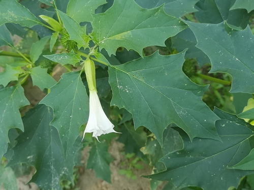
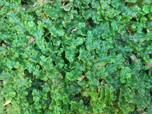
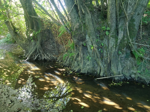
Research-grade observations from iNaturalist (within ~15 mi).
Events
Gallery
Sources
- • Wikipedia
- • Wikidata
- • iNaturalist
- • Open-Meteo / sunrise-sunset.org
- • Wikipedia Pageviews API