Browse / Croatia / Karlovac / Orišje
Orišje
Karlovacvillage
Total population
50
Demographic figures from Croatian Bureau of Statistics. Overview below cites Wikipedia and may reference a different year.
City facts
Facts from Wikidata (CC0).
Overview
Orišje is one of 43 villages in the municipality of Bosiljevo, Croatia. It has a population of 50.
Read more on WikipediaHistory & geography
History
Orišje was recorded as a settlement in the Middle Ages. After the Ottoman incursions and conquests in the first half of the 16th century, the region was largely deserted, and the population moved to the coastal area and the islands of the Šibenik archipelago. The area was repopulated in the 18th century.
Excerpted from the corresponding Wikipedia article (CC BY-SA).
Geography
Coordinates & boundaries from the US Census TIGER/Line shapefiles.
Climate
Air quality
Walkability
Amenities nearby
Wildlife & biodiversity
Most-observed species
- Eurasian BlackbirdTurdus merula Linnaeus, 1758 · Aves208
- Common ChaffinchFringilla coelebs Linnaeus, 1758 · Aves164
- European RobinErithacus rubecula (Linnaeus, 1758) · Aves141
- Eurasian BlackcapSylvia atricapilla (Linnaeus, 1758) · Aves125
- Great TitParus major Linnaeus, 1758 · Aves111
- Song ThrushTurdus philomelos C.L.Brehm, 1831 · Aves107
- Eurasian WrenTroglodytes troglodytes (Linnaeus, 1758) · Aves83
- Common ChiffchaffPhylloscopus collybita (Vieillot, 1817) · Aves75
Citizen-science & research observations from the Global Biodiversity Information Facility (GBIF).
Earthquake history
Most recent
- M 4.4 — 2025-02-250 km WSW of Sisak, Croatia
- M 3.8 — 2024-05-011 km SW of Rakovica, Croatia
- M 4.2 — 2024-05-014 km SW of Rakovica, Croatia
- M 2.9 — 2024-03-072 km E of Zagreb, Croatia
- M 3.9 — 2023-07-298 km ENE of Klana, Croatia
- M 4.7 — 2023-02-163 km W of Baška, Croatia
Events from the USGS Earthquake Catalog (global) (FDSN Event Web Service).
Photos
Sights & places nearby
Notable people from here


People born within ~10 km, from Wikidata (CC0). Click any name for their Wikipedia article.
Geography & sun
Elevation, sunrise/sunset and daylight from Open-Meteo. Solar climatology from NASA POWER.
Nearby airports
Public attention
Pageview totals from the Wikimedia Pageviews API.
Books about this place
Recent natural events nearby
Ground air-quality sensors
Recently spotted species
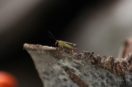
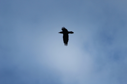
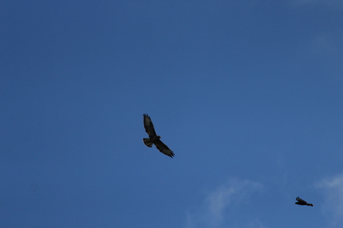
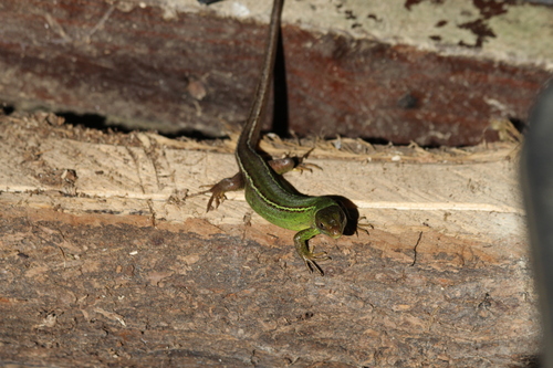
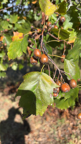
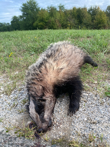
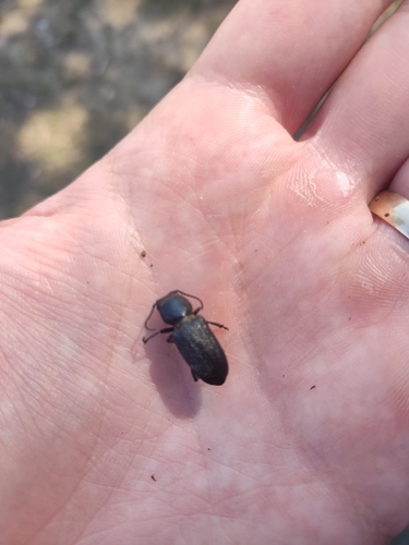
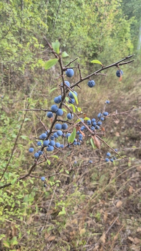
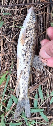
Research-grade observations from iNaturalist (within ~15 mi).
Events
Gallery
Sources
- • Wikipedia
- • Wikidata
- • USGS Earthquake Catalog (global feed)
- • GBIF (Global Biodiversity Information Facility)
- • iNaturalist
- • Open-Meteo / sunrise-sunset.org
- • Wikipedia Pageviews API