Browse / Croatia / Vukovar-Syrmia / Orolik
Orolik
Vukovar-Syrmiavillage

Orolik
Total population
355
Demographic figures from Croatian Bureau of Statistics. Overview below cites Wikipedia and may reference a different year.
City facts
Facts from Wikidata (CC0).
Overview
Orolik is a village in the Stari Jankovci municipality, Vukovar-Syrmia County, in eastern Croatia. The village is connected with the rest of the country by the D46 state road connecting it with the town of Vinkovci and continuing into Serbia as the State Road 120 to the nearest town of Šid, D57 road and by the M105 railway.
Read more on WikipediaHistory & geography
History
One archaeological site in Orolik dating back to the Iron Age in Europe period was excavated in the 1970s and 1980s as a part of rescue excavations in eastern Croatia. This archaeological site was a settlement of the late La Tène culture settlement network of the Scordisci in the area of Vinkovci. During this period most of the population were Catholic Croats who remained in the village after the Treaty of Karlowitz. In 1866 there was 205 Orthodox and 106 Roman Catholic families in the village. In 1942, Lazar "Lazo" (Stojan) Kanurić (1888, Orolik – Jasenovac, 1942), a Serb civilian and JRZ politician, died in the Jasenovac concentration camp. On 19 December 1993 UNPROFOR peacekeeping forces were attacked by local Serb residents of the village.
Excerpted from the corresponding Wikipedia article (CC BY-SA).
Geography
Coordinates & boundaries from the US Census TIGER/Line shapefiles.
Climate
Air quality
Walkability
Amenities nearby
Wildlife & biodiversity
Earthquake history
Photos
Sights & places nearby
Notable people from here


People born within ~10 km, from Wikidata (CC0). Click any name for their Wikipedia article.
Geography & sun
Elevation, sunrise/sunset and daylight from Open-Meteo. Solar climatology from NASA POWER.
Nearby airports
Public attention
Pageview totals from the Wikimedia Pageviews API.
Books about this place
Recent natural events nearby
Ground air-quality sensors
Recently spotted species
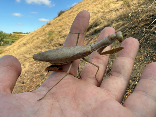
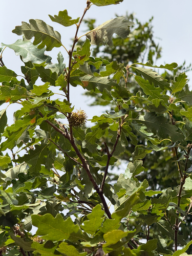
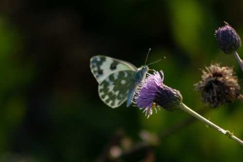
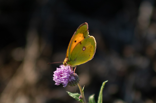
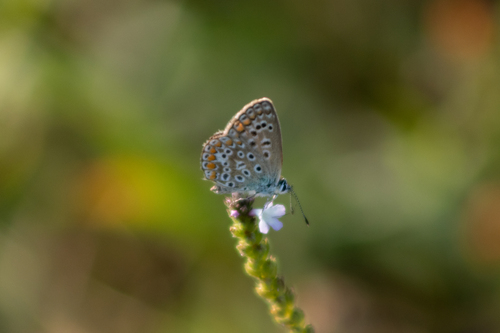
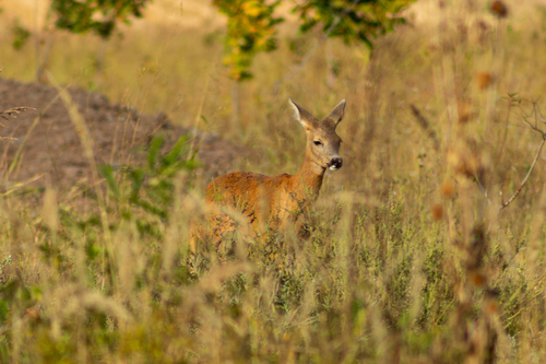
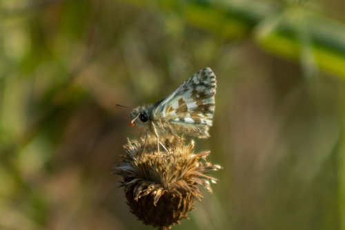
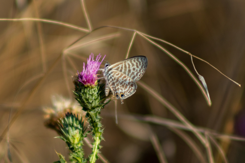
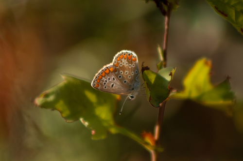
Research-grade observations from iNaturalist (within ~15 mi).
Events
Gallery
Sources
- • Wikipedia
- • Wikidata
- • iNaturalist
- • Open-Meteo / sunrise-sunset.org
- • Wikipedia Pageviews API