Browse / Croatia / Osijek-Baranja / Osijek
Osijek
Osijek-Baranjacity

Osijek
Total population
75,535
Air quality index
Demographic figures from Croatian Bureau of Statistics. Overview below cites Wikipedia and may reference a different year.
City facts
Sister cities
Facts from Wikidata (CC0).
Overview
Osijek is the largest city and the economic and cultural hub of the eastern Croatian region of Slavonia, as well as the administrative seat of Osijek-Baranja County. It is the fourth-largest city in Croatia, with a population of 96,313 recorded in the 2021 census. The city is situated on the southern bank of the Drava River, 25 km upstream from its confluence with the Danube, at an elevation of 94 m (308 ft). Osijek is located 16 km west of the Croatia–Serbia border.
Read more on WikipediaHistory & geography
History
Human habitation in the Osijek area dates to the Neolithic period. The first known inhabitants were the Illyrian tribe of the Andizetes. During the second half of the 4th century BC, the settlement was attacked and subsequently captured by the Celtic Scordisci, who established a permanent presence there. Following the Roman conquest of Pannonia, the settlement—then known as Mursa—was garrisoned by the Roman Seventh Legion. The legion administered the area from a military castrum and built a bridge across the Drava River. Historical evidence suggests that Emperor Hadrian founded this settlement as a new foundation. He later elevated Mursa to a colony with special privileges in 133 AD. The subsequent history of Mursa was marked by turbulence, as several decisive battles were fought in its vicinity. These conflicts had profound consequences for the colony and the wider region, which was already strained due to the westward migration of various tribes—including the Alemanni, Gepids, Goths, Marcomanni, and Vandals—who were displaced by the invading Huns. After the collapse of the Western Roman Empire and the Avar Khaganate's destruction of local tribes in the 6th century, the region was repopulated by Slavic tribes during their mass migrating to Southeastern Europe in the Early Middle Ages, between the 6th and 7th centuries. The earliest recorded mention of Osijek dates to 1196. From 1353 to 1472, the town was a feudal possession of the Kórógyi family. Following the death of the last Kórógyi, King Matthias Corvinus transferred authority over Osijek to the Rozgonyi family. The city was subsequently sacked and nearly destroyed by an invading Ottoman army on 8 August 1526, just prior to the Battle of Mohács. A permanent Turkish garrison was established in 1529, after which…
Excerpted from the corresponding Wikipedia article (CC BY-SA).
Geography
Coordinates & boundaries from the US Census TIGER/Line shapefiles.
Climate
Air quality
Current readings from Open-Meteo Air Quality API (Copernicus CAMS European reanalysis).
Walkability
Amenities nearby
Wildlife & biodiversity
Most-observed species
- Great TitParus major Linnaeus, 1758 · Aves2,255
- Common BuzzardButeo buteo (Linnaeus, 1758) · Aves1,347
- Gray/Purple HeronArdea cinerea Linnaeus, 1758 · Aves1,194
- Mute SwanCygnus olor (J.F.Gmelin, 1789) · Aves1,183
- White-tailed EagleHaliaeetus albicilla (Linnaeus, 1758) · Aves1,070
- Common ChaffinchFringilla coelebs Linnaeus, 1758 · Aves917
- Carrion CrowCorvus corone Linnaeus, 1758 · Aves807
- Common Wood-PigeonColumba palumbus Linnaeus, 1758 · Aves784
Citizen-science & research observations from the Global Biodiversity Information Facility (GBIF).
Earthquake history
Most recent
- M 4 — 2026-05-059 km WNW of Kupusina, Serbia
- M 4.5 — 2023-05-195 km E of Srebrenik, Bosnia and Herzegovina
- M 4.1 — 2022-02-103 km SSE of Srebrenik, Bosnia and Herzegovina
- M 3.2 — 2020-06-263 km ESE of Zdenci, Croatia
- M 2.9 — 2019-09-223 km ENE of Srebrenik, Bosnia and Herzegovina
- M 4.2 — 2019-07-214 km SW of Srebrenik, Bosnia and Herzegovina
Events from the USGS Earthquake Catalog (global) (FDSN Event Web Service).
Photos
Sights & places nearby
Notable people from here


People born within ~10 km, from Wikidata (CC0). Click any name for their Wikipedia article.
Nearby places in Osijek-Baranja
- Tvrđavica1.5 mi away · pop. 563
- Brijest2.5 mi away · pop. 1,005
- Bilje4.1 mi away · pop. 3,163
- Sarvaš7.2 mi away · pop. 1,658
- Petrova Slatina9.3 mi away · pop. 150
- Samatovci9.6 mi away · pop. 509
- Šodolovci11.2 mi away · pop. 267
- Jagodnjak11.3 mi away · pop. 990
- Lipovac Hrastinski12.2 mi away · pop. 81
- Ladimirevci13 mi away · pop. 1,209
- Kneževi Vinogradi13.6 mi away · pop. 1,332
- Mirkovac13.6 mi away · pop. 64
Geography & sun
Elevation, sunrise/sunset and daylight from Open-Meteo. Solar climatology from NASA POWER.
Nearby airports
Public attention
Pageview totals from the Wikimedia Pageviews API.
Books about this place
Recent natural events nearby
Ground air-quality sensors
Recently spotted species
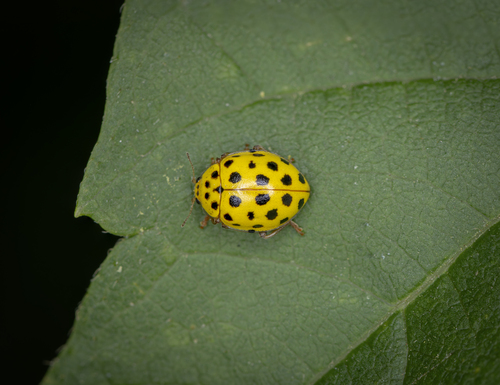
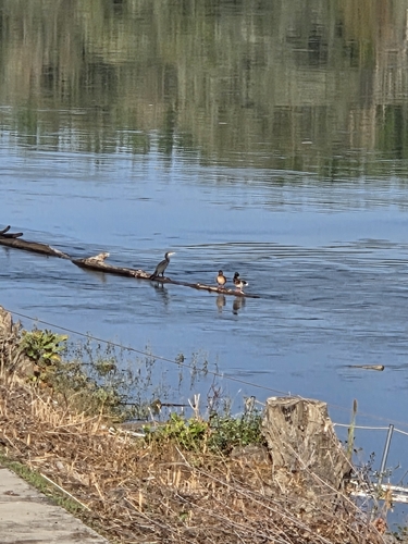
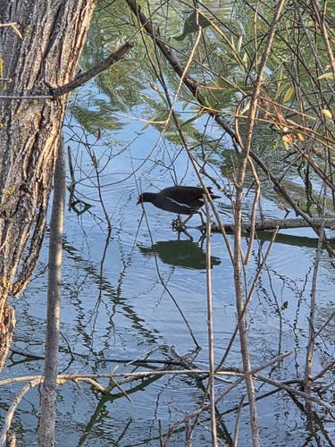

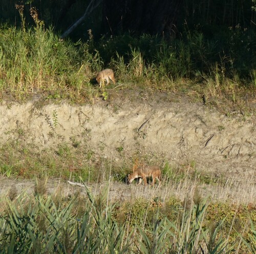
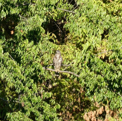
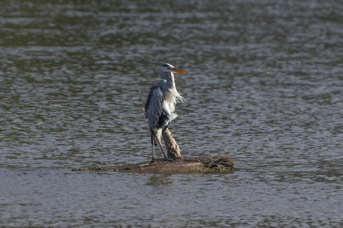
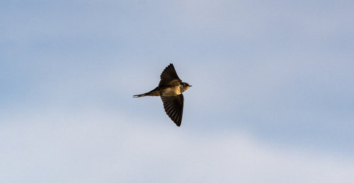
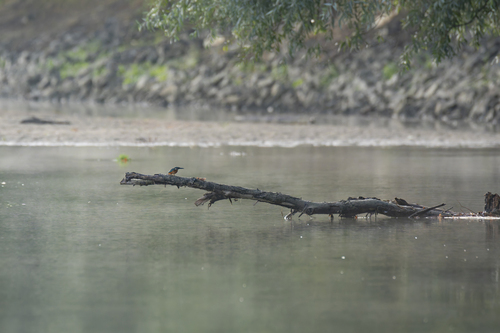
Research-grade observations from iNaturalist (within ~15 mi).
Events
Notable, recurring, and historical events associated with Osijek, sourced from Wikidata.
- International Festival of Artistic Tamburitza Musicannual event
annual music festival in Osijek and Našice, Croatia
Source: Wikidata (CC0).
Gallery
Sources
- • Wikipedia
- • Wikidata
- • Open-Meteo Air Quality (CAMS)
- • USGS Earthquake Catalog (global feed)
- • GBIF (Global Biodiversity Information Facility)
- • iNaturalist
- • Open-Elevation
- • Open-Meteo / sunrise-sunset.org
- • Wikipedia Pageviews API