Browse / Croatia / Požega-Slavonia / Pakrac
Pakrac
Požega-Slavoniatown

Pakrac
Total population
4,151
Demographic figures from Croatian Bureau of Statistics. Overview below cites Wikipedia and may reference a different year.
City facts
Sister cities
Facts from Wikidata (CC0).
Overview
Pakrac is a town in western Slavonia, Croatia, population 4,151, total municipality population 7,086. Pakrac is located on the road and railroad connecting the regions of Posavina and Podravina.
Read more on WikipediaHistory & geography
History
The town was first mentioned in 1237. It was captured by the Ottoman Empire in 1543. It was initially a kaza centre in the Sanjak of Pojega between 1543 and 1552, then in the Sanjak of Pakrac in the Rumelia Eyalet between 1552 and 1559. Later it was the centre of the Sanjak of Pakrac between 1559 and 1601, when the sanjak seat was moved to Cernik. The Ottoman rule in Pakrac lasted until the Austrians captured it in 1691. In the late 19th and early 20th centuries, Pakrac was part of the Požega County of the Kingdom of Croatia-Slavonia. Hostilities during the Yugoslav wars in Pakrac began on August 18, 1991, when Serb troops shelled the town from positions in the nearby hills. The Croats in Pakrac quickly organized in self-defense units. In a ceasefire signed in January 1992, the town was divided into Croatian and Serbian sectors. UNPROFOR was stationed at the demarcation line. In the Serbian part of Pakrac, Krajina Serb military leadership operated the Bučje concentration camp (18 km outside Pakrac), where Croat civilians and Serbs who opposed the Krajina government were imprisoned and killed. In early May 1995, east Pakrac was retaken by Croats in Operation Flash in the last phase of the Croatian War of Independence. Serbs who were living in east Pakrac soon left the area in large numbers.
Excerpted from the corresponding Wikipedia article (CC BY-SA).
Geography
Coordinates & boundaries from the US Census TIGER/Line shapefiles.
Climate
Air quality
Walkability
Amenities nearby
Wildlife & biodiversity
Earthquake history
Photos
Sights & places nearby
Notable people from here


People born within ~10 km, from Wikidata (CC0). Click any name for their Wikipedia article.
Nearby places in Požega-Slavonia
- Šeovica1.9 mi away · pop. 307
- Novi Majur2 mi away · pop. 78
- Lipik2.2 mi away · pop. 1,967
- Kusonje2.3 mi away · pop. 308
- Skenderovci2.4 mi away · pop. 4
- Batinjani2.8 mi away · pop. 44
- Gornja Obrijež3.6 mi away · pop. 84
- Mali Banovac3.7 mi away · pop. 17
- Omanovac3.8 mi away · pop. 86
- Donji Čaglić3.9 mi away · pop. 266
- Dereza4.1 mi away · pop. 13
- Veliki Banovac4.1 mi away
Geography & sun
Elevation, sunrise/sunset and daylight from Open-Meteo. Solar climatology from NASA POWER.
Nearby airports
Public attention
Pageview totals from the Wikimedia Pageviews API.
Books about this place
Recent natural events nearby
Ground air-quality sensors
Recently spotted species
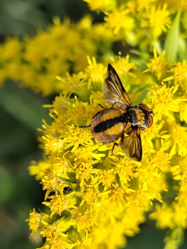
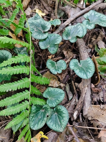
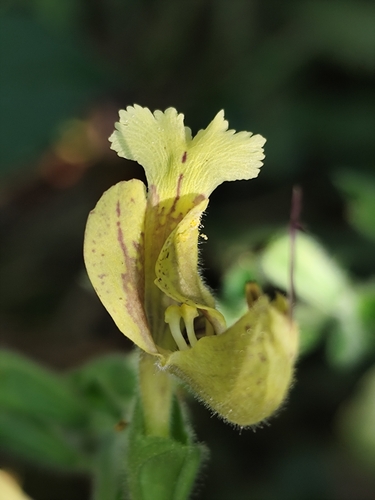
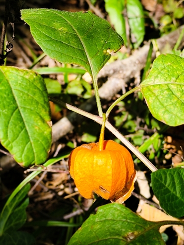
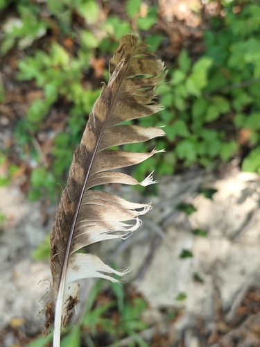
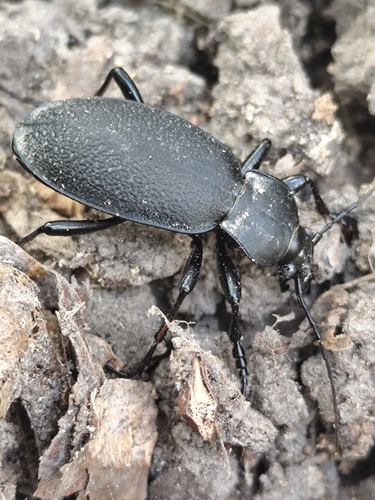
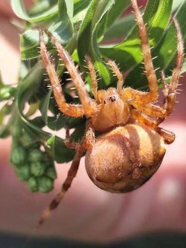
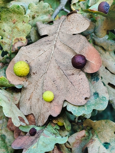
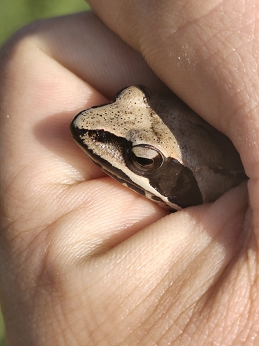
Research-grade observations from iNaturalist (within ~15 mi).
Events
Gallery
Sources
- • Wikipedia
- • Wikidata
- • iNaturalist
- • Open-Meteo / sunrise-sunset.org
- • Wikipedia Pageviews API