Browse / Croatia / Sisak-Moslavina / Petrinja
Petrinja
Sisak-Moslavinatown

Petrinja
Total population
12,963
Demographic figures from Croatian Bureau of Statistics. Overview below cites Wikipedia and may reference a different year.
City facts
Sister cities
Facts from Wikidata (CC0).
Overview
Petrinja is a town in central Croatia near Sisak in the historic region of Banovina. It is administratively located in Sisak-Moslavina County.
Read more on WikipediaHistory & geography
History
West of Petrinja is Petrova gora (Peter's mountain), site of the 1097 Battle of Gvozd Mountain between King Petar Snačić of Croatia and Coloman of Hungary. The first written record of Petrinja as an inhabited settlement is the one about the benefits awarded to the inhabitants of Petrinja by the Slavonian duke Koloman in 1240. This old medieval Petrinja belongs to the time of warring with the Ottoman Empire. The old fortress was abandoned and destroyed in 1543, to prevent it from coming under Ottoman control. In 1592, Petrinja was given a new location with the construction and building of an Ottoman fortress at the confluence of the Petrinjčica and Kupa rivers. The fortress was to serve the Ottomans in their offensives in central Croatia, such as the 1593 battle of Sisak. On August 10, 1594, the fortress was first liberated by the Croatian army. Therefore, August 10 has become the day of gratitude towards God and St. Lawrence, and this saint has been chosen for the patron saint of the parish and the town of Petrinja. Over time, Petrinja attracted craftsmen and merchants whose arrival marks the beginning of the town's development. In the year 1773, Austrian empress Maria Theresa decided that Petrinja was to be a craft guild center for the entire territory of the Military Frontier. Petrinja was part of Napoleon's Illyria from 1809 till 1813 when the town became a significant trade and traffic center. In the same period, the French army planted the linden trees that stand to this day. The influence of Croatian national revival in the 19th century was felt in Petrinja. That was the time of the founding of the Town Orchestra (1808), Music Department (1841), Library and reading-room (1842), Teachers' Training School (1862), Croatian Choir "Slavulj" (1864), Town…
Excerpted from the corresponding Wikipedia article (CC BY-SA).
Geography
Coordinates & boundaries from the US Census TIGER/Line shapefiles.
Climate
Air quality
Walkability
Amenities nearby
Wildlife & biodiversity
Earthquake history
Photos
Sights & places nearby
Notable people from here


People born within ~10 km, from Wikidata (CC0). Click any name for their Wikipedia article.
Nearby places in Sisak-Moslavina
- Brest Pokupski1.4 mi away · pop. 279
- Nova Drenčina2.2 mi away · pop. 404
- Mala Gorica2.7 mi away · pop. 510
- Stara Drenčina3 mi away · pop. 179
- Taborište3.1 mi away
- Gornje Mokrice3.6 mi away · pop. 105
- Strašnik3.7 mi away · pop. 202
- Srednje Mokrice4.3 mi away · pop. 33
- Gora4.5 mi away · pop. 264
- Novo Pračno4.5 mi away · pop. 452
- Sela4.8 mi away · pop. 963
- Donja Budičina4.8 mi away
Geography & sun
Elevation, sunrise/sunset and daylight from Open-Meteo. Solar climatology from NASA POWER.
Nearby airports
Public attention
Pageview totals from the Wikimedia Pageviews API.
Books about this place
Recent natural events nearby
Ground air-quality sensors
Recently spotted species
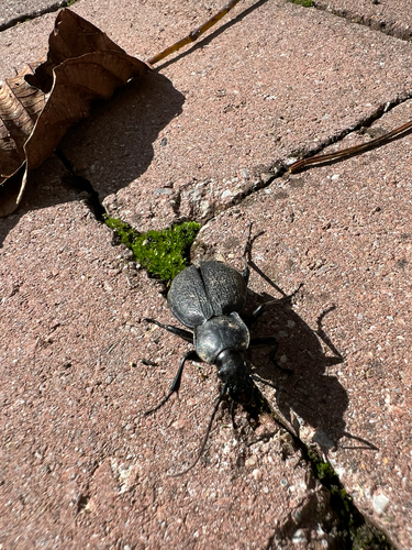
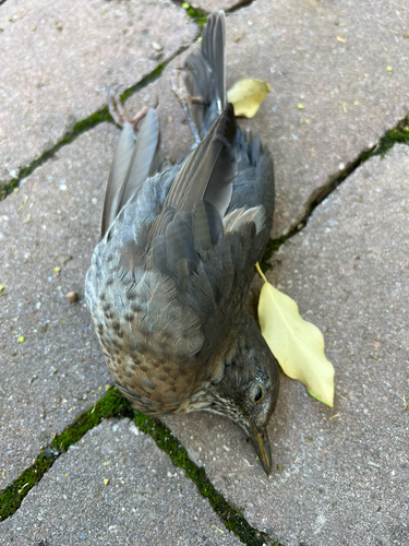
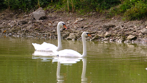
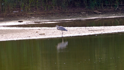
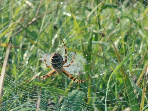
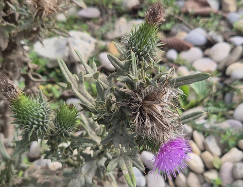
Research-grade observations from iNaturalist (within ~15 mi).
Events
Gallery
Sources
- • Wikipedia
- • Wikidata
- • iNaturalist
- • Open-Meteo / sunrise-sunset.org
- • Wikipedia Pageviews API