Browse / Croatia / Krapina-Zagorje / Petrovsko
Petrovsko
Krapina-Zagorjevillage
Total population
201
Demographic figures from Croatian Bureau of Statistics. Overview below cites Wikipedia and may reference a different year.
City facts
Facts from Wikidata (CC0).
Overview
Petrovsko is a village and municipality in the Krapina-Zagorje County, northern Croatia.
Read more on WikipediaHistory & geography
History
Petrovsko was called Konoba for centuries and was first mentioned in 1334. In Petrovsko, a parish church was built in honor of Saint Peter and in 1661 a parish palace was mentioned alongside the church. The chapel of Saint Benedict, built between 1749 and 1758, is located close to the parish church, on the hill above the local cemetery. The beginning of education in the town dates back to April 15, 1867, when the foundation stone of the first classroom was laid. The then parish priest Markovac, as well as local councilors and other dignitaries contributed to the beginning of education in Petrovsko. Towards the end of the 19th century, the municipality of Konoba was founded with its seat in Krapina. It succeeded in 1904, and the first mayor of the newly formed municipality was Mijo Hršak. In 1943, the municipal building burned down in a fire, and the municipality was formally abolished in 1956. The municipality of Petrovsko was re-established on 20 April 1993 in the independent Republic of Croatia as part of the Krapina-Zagorje County.
Excerpted from the corresponding Wikipedia article (CC BY-SA).
Geography
Coordinates & boundaries from the US Census TIGER/Line shapefiles.
Climate
Air quality
Walkability
Amenities nearby
Wildlife & biodiversity
Earthquake history
Photos
Sights & places nearby
Notable people from here
Geography & sun
Elevation, sunrise/sunset and daylight from Open-Meteo. Solar climatology from NASA POWER.
Nearby airports
Public attention
Pageview totals from the Wikimedia Pageviews API.
Books about this place
Recent natural events nearby
Ground air-quality sensors
Recently spotted species
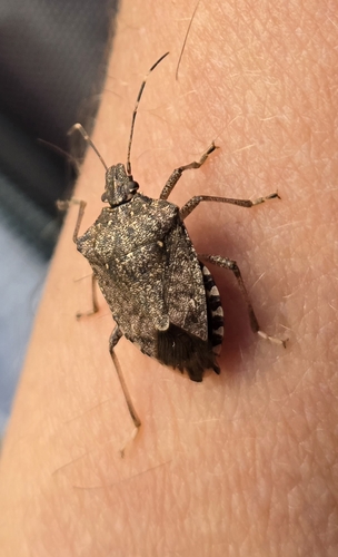
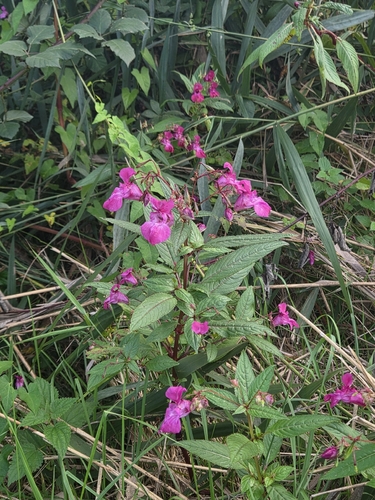
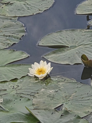
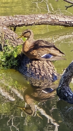
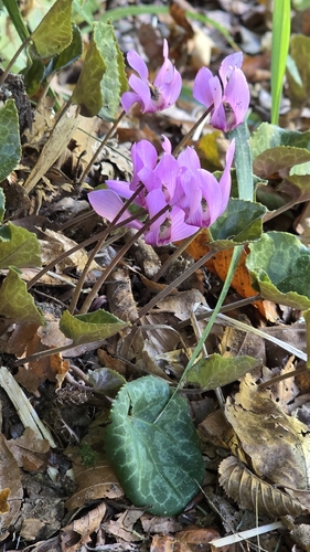
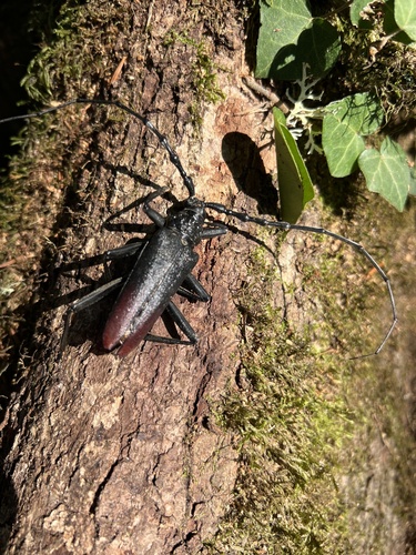
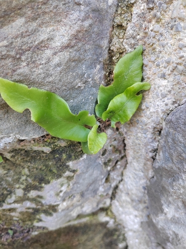
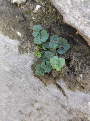
Research-grade observations from iNaturalist (within ~15 mi).
Events
Gallery
Sources
- • Wikipedia
- • Wikidata
- • iNaturalist
- • Open-Meteo / sunrise-sunset.org
- • Wikipedia Pageviews API