Browse / Croatia / Šibenik-Knin / Pirovac
Pirovac
Šibenik-Kninvillage

Pirovac
Total population
1,435
Demographic figures from Croatian Bureau of Statistics. Overview below cites Wikipedia and may reference a different year.
City facts
Facts from Wikidata (CC0).
Overview
Pirovac is a coastal municipality and a settlement in Croatia, 26 km away from the city of Šibenik.
Read more on WikipediaHistory & geography
History
The first historical mention of Pirovac was in 1298, under the name "Zlosela". At that time, the village belonged to noblemen from Bribir — the Šubić family, and later it became the property of the Šibenik Diocese and noblemen from Šibenik. The settlement itself was founded in the 15th century by refugees who fled from the Turks. Nevertheless, this area was inhabited many centuries earlier, as shown by remnants of Roman settlements found on the islet of Sveti Stjepan (St. Stephen). Many other historical monuments tell us about the gradual settlement and development of this place. The remnants of a Roman villa in Ivinj date back to the 1st AD. The site was proclaimed a cultural good in 2012 and awarded the status of a protected cultural monument. The defence wall, erected around 1505 by Petar Draganić, has been partly preserved in the village. The 1506 parish church of St. George was restored in Baroque style in the 18th century. The graveyard chapel of the Draganić-Vrančić family features a Gothic sarcophagus with a relief made in 1447 by Andrija Budčić from Šibenik and Lorenzo Pincino from Venice, according to the sketches by Giorgio da Sebenico (George the Dalmatian). Roman artifacts have been found on the islet of Sveti Stjepan in front of the village; here also are the ruins of a Franciscan monastery (from 1511), which was abandoned in 1807. By the mid-17th century, there were 25 houses in the village. The number of inhabitants rose from 273 in 1709 to 1970 in 1931. The first school was opened in 1885. The settlement's name was changed from Zlosela to Pirovac in 1921. The village of Kašić Banjevački in the municipality was home to a Partisan monument, which was destroyed during the Croatian War of Independence. In 2008, the village replaced the previous…
Excerpted from the corresponding Wikipedia article (CC BY-SA).
Geography
Coordinates & boundaries from the US Census TIGER/Line shapefiles.
Climate
Air quality
Walkability
Amenities nearby
Wildlife & biodiversity
Earthquake history
Photos
Sights & places nearby
Notable people from here


People born within ~10 km, from Wikidata (CC0). Click any name for their Wikipedia article.
Geography & sun
Elevation, sunrise/sunset and daylight from Open-Meteo. Solar climatology from NASA POWER.
Nearby airports
Public attention
Pageview totals from the Wikimedia Pageviews API.
Books about this place
Recent natural events nearby
Ground air-quality sensors
Recently spotted species
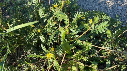
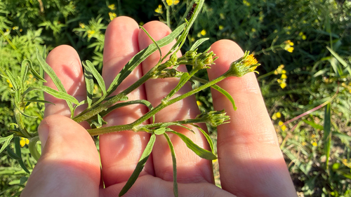
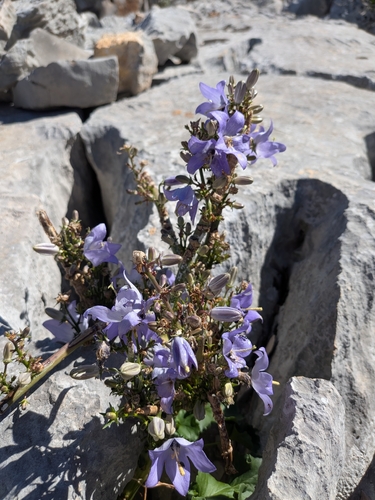
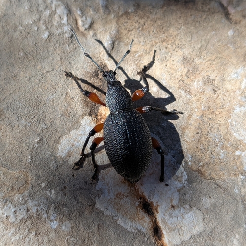
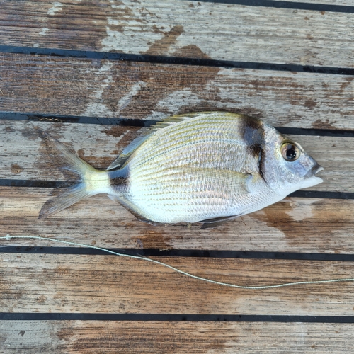
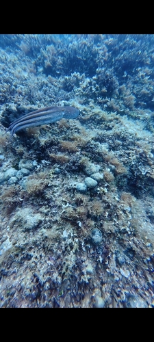
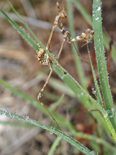
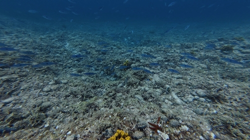
Research-grade observations from iNaturalist (within ~15 mi).
Events
Gallery
Sources
- • Wikipedia
- • Wikidata
- • iNaturalist
- • Open-Meteo / sunrise-sunset.org
- • Wikipedia Pageviews API