Browse / Croatia / Karlovac / Plaški
Plaški
Karlovacvillage

Plaški
Total population
1,281
Demographic figures from Croatian Bureau of Statistics. Overview below cites Wikipedia and may reference a different year.
City facts
Facts from Wikidata (CC0).
Overview
Plaški is a village and a municipality in Karlovac County, Croatia. It is part of the region of Lika.
Read more on WikipediaHistory & geography
History
In 33 BC the Romans, led by the future Emperor Octavian Augustus, won a battle against an Illyrian tribe, the Japods, in the area east of Plaški. Roman coins have been found in Plaški which proves that this region was inhabited in Roman times. The name Plaški was first mentioned in 1163 in documents of the Diocese of Split of the Roman Catholic Church. The second mention of the village dates from 1185 and relates to the establishment of the new Krbava diocese, which the parish of Plaški became a part of. Plaški county (Comitatus Plazy) was a separate administrative region until 1193, when it became part of Modruš county and came to be owned by the Frankopan family. In the name of Frankopans Plaški was governed by the Zebić family of nobles, who were their loyal vassals (even today a part of Plaški is called Zebići). In 1492 just before the Battle of Krbava Plaški was raided by the Turks led by Jakub-Paša and Plaški was abandoned. In a document of Bernardin Frankopan from 1500 Plaški is described as defense fort against the Turks. Another document from 1550 confirms Plaški's status as defense fort and also mentions it as one of four centres in the Military Frontier of the Habsburg Empire. By decision of the Military Council in Graz, Serbs were allowed to resettle the area. The Serbs came in three waves: 1609, 1639 and 1666. Together with Tounj, Plaški was centre of a military company that was part of Ogulin's regiment. The Eparchy of Upper Karlovac of the Serbian Orthodox Church was founded in 1711 and had its first seat in Gomirje monastery and from 1721 to 1941 the seat was in Plaški. The Orthodox cathedral was built from 1756 to 1763. After the invasion of Yugoslavia in April 1941 Plaški was initially occupied by the Royal Italian Army, who threw children…
Geography
Plaški is situated in the lower part of the Ogulin-Plaški valley. Together with Gorski kotar and Lika, the Ogulin-Plaški valley forms Mountainous Croatia. The town of Plaški is situated 28 km south from Ogulin and shares borders with municipalities of Ogulin, Josipdol and Saborsko.
Excerpted from the corresponding Wikipedia article (CC BY-SA).
Geography
Coordinates & boundaries from the US Census TIGER/Line shapefiles.
Climate
Air quality
Walkability
Amenities nearby
Wildlife & biodiversity
Earthquake history
Photos
Sights & places nearby
Notable people from here


People born within ~10 km, from Wikidata (CC0). Click any name for their Wikipedia article.
Nearby places in Karlovac
- Jezero I Dio3.6 mi away · pop. 77
- Istočni Trojvrh3.7 mi away
- Trojvrh3.8 mi away · pop. 32
- Vojnovac4.8 mi away · pop. 94
- Munjava Modruška6.5 mi away · pop. 63
- Lička Jesenica7 mi away · pop. 100
- Josipdol8.4 mi away · pop. 879
- Gornje Primišlje8.7 mi away · pop. 13
- Mjesto Primišlje8.8 mi away · pop. 49
- Donje Zagorje8.9 mi away · pop. 230
- Tržić Tounjski9.1 mi away · pop. 18
- Gornje Zagorje9.4 mi away · pop. 297
Geography & sun
Elevation, sunrise/sunset and daylight from Open-Meteo. Solar climatology from NASA POWER.
Nearby airports
Public attention
Pageview totals from the Wikimedia Pageviews API.
Books about this place
Recent natural events nearby
Ground air-quality sensors
Recently spotted species
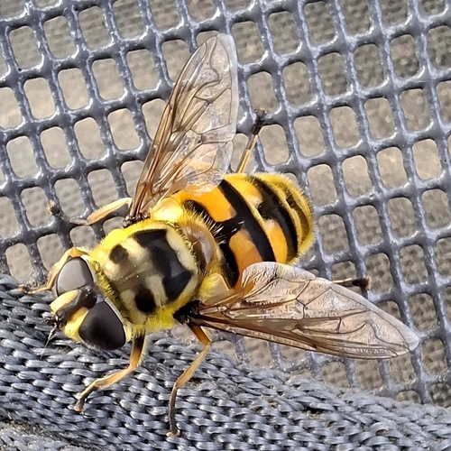
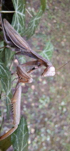
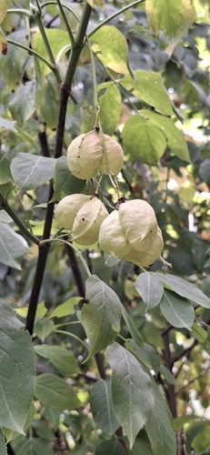
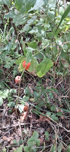
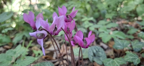
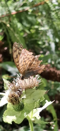
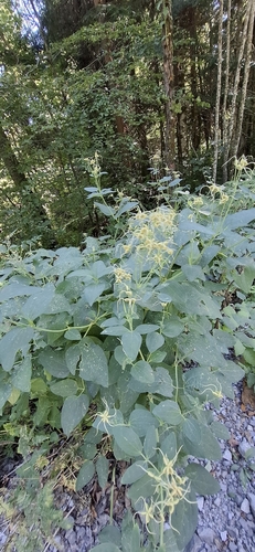
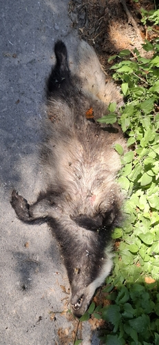
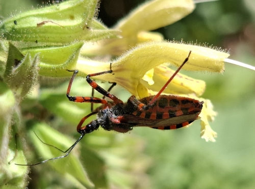
Research-grade observations from iNaturalist (within ~15 mi).
Events
Gallery
Sources
- • Wikipedia
- • Wikidata
- • iNaturalist
- • Open-Meteo / sunrise-sunset.org
- • Wikipedia Pageviews API