Browse / Croatia / Dubrovnik-Neretva / Plat
Plat
Dubrovnik-Neretvavillage

Plat
Total population
302
Demographic figures from Croatian Bureau of Statistics. Overview below cites Wikipedia and may reference a different year.
City facts
Overview
In the United States, a plat is a cadastral map, drawn to scale, showing the divisions of a piece of land. United States General Land Office surveyors drafted township plats of Public Lands Surveys to show the distance and bearing between section corners, sometimes including topographic or vegetation information. City, town or village plats show subdivisions broken into blocks with streets and alleys. Further refinement often splits blocks into individual lots, usually for the purpose of selling the described lots; this has become known as subdivision.
Read more on WikipediaHistory & geography
History
The creation of a plat map marks an important step in the process of incorporating a town or city according to United States law. Because the process of incorporation sometimes occurred at a courthouse, the incorporation papers for many American cities may be stored hundreds of miles away in another state. For example, to view the original United States General Land Office plat for the city of San Francisco, California, filed in 1849, one must visit the Museum of the Oregon Territory in Oregon City, Oregon, as at that time Oregon City was the site of the closest federal land office to San Francisco.
Excerpted from the corresponding Wikipedia article (CC BY-SA).
Geography
Coordinates & boundaries from the US Census TIGER/Line shapefiles.
Climate
Air quality
Walkability
Amenities nearby
Wildlife & biodiversity
Earthquake history
Photos
Sights & places nearby
Notable people from here


People born within ~10 km, from Wikidata (CC0). Click any name for their Wikipedia article.
Geography & sun
Elevation, sunrise/sunset and daylight from Open-Meteo. Solar climatology from NASA POWER.
Nearby airports
Public attention
Pageview totals from the Wikimedia Pageviews API.
Books about this place
Recent natural events nearby
Ground air-quality sensors
Recently spotted species
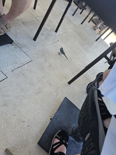
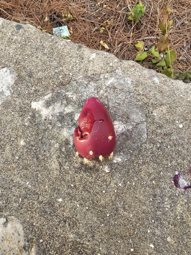
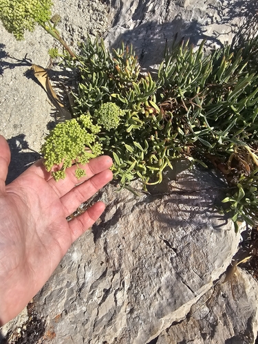
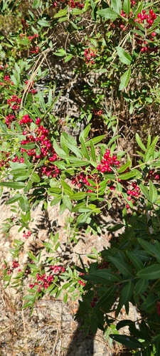
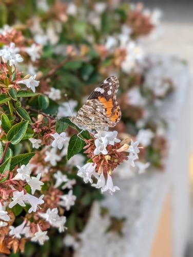
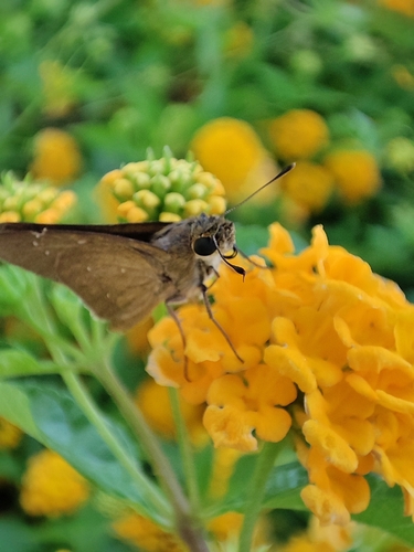
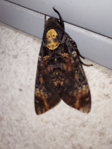
Research-grade observations from iNaturalist (within ~15 mi).
Events
Gallery
Sources
- • Wikipedia
- • Wikidata
- • iNaturalist
- • Open-Meteo / sunrise-sunset.org
- • Wikipedia Pageviews API