Browse / Croatia / Primorje-Gorski Kotar / Porozina
Porozina
Primorje-Gorski Kotarvillage

Porozina
Total population
29
Demographic figures from Croatian Bureau of Statistics. Overview below cites Wikipedia and may reference a different year.
City facts
Facts from Wikidata (CC0).
Overview
Porozina is a small port village in Croatia, located on the northwest coast of Cres. Administratively, it is part of the town of Cres. As of 2021, it had a population of 28. It is connected by ferry to Brestova on the Istria mainland.
Read more on WikipediaHistory & geography
History
In the Classical era there was a lighthouse on the hillock above the port, that is how the town got its name (Pharum insulae). On this site today we find ruins of an old Franciscan monastery of Saint Nicholas and an ancient Gothic church (), dating to the 15th century (not long before 1465). The monastery was used by Franciscan Glagolitic monks of the third order, who managed to preserve Old Church Slavonic as a liturgy language, even up to the 13th century. The monastery edifice was abandoned in 1843 when it was also partly demolished. Its ruins manifest characteristics of the renaissance architecture. The church was the victim of many robberies, and it was almost burnt to the ground in the 16th century. Remarkably, it withstood all those perils and stands well-preserved today. Among its many distinct features are Glagolitic inscriptions on its walls.
Geography
The settlement is situated in a cove on the north of the island. The cove offers good natural protection from all the winds, so this spot was the only one suitable for docking from time immemorial.
Excerpted from the corresponding Wikipedia article (CC BY-SA).
Geography
Coordinates & boundaries from the US Census TIGER/Line shapefiles.
Climate
Air quality
Walkability
Amenities nearby
Wildlife & biodiversity
Earthquake history
Photos
Sights & places nearby
Notable people from here
Geography & sun
Elevation, sunrise/sunset and daylight from Open-Meteo. Solar climatology from NASA POWER.
Nearby airports
Public attention
Pageview totals from the Wikimedia Pageviews API.
Books about this place
Recent natural events nearby
Ground air-quality sensors
Recently spotted species
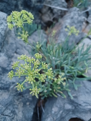
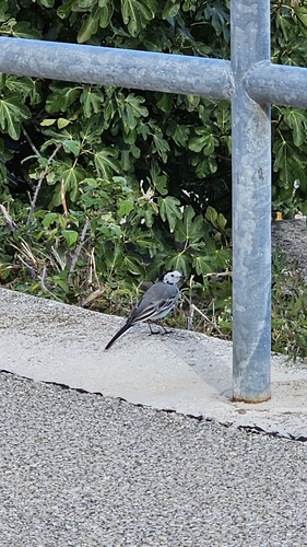
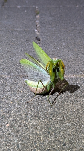
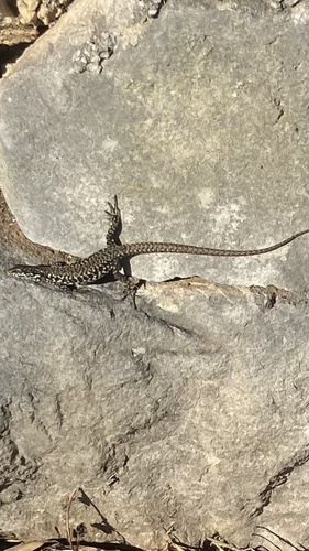
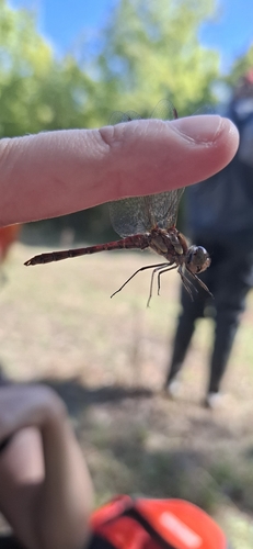
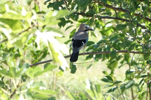
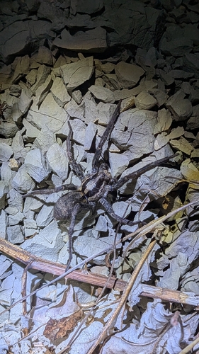
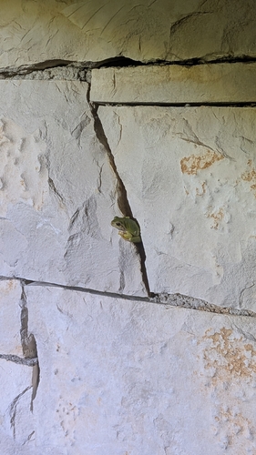
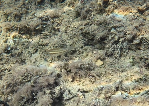
Research-grade observations from iNaturalist (within ~15 mi).
Events
Gallery
Sources
- • Wikipedia
- • Wikidata
- • iNaturalist
- • Open-Meteo / sunrise-sunset.org
- • Wikipedia Pageviews API