Browse / Croatia / Krapina-Zagorje / Pregrada
Pregrada
Krapina-Zagorjetown

Pregrada
Total population
1,870
Demographic figures from Croatian Bureau of Statistics. Overview below cites Wikipedia and may reference a different year.
City facts
Facts from Wikidata (CC0).
Overview
Pregrada is a town and municipality in Krapina-Zagorje County in Croatia.
Read more on WikipediaHistory & geography
History
The name Pregrada is first mentioned on August 9, 1334, in the statutes of the Zagreb Kaptol. The parish is certainly much older because it was listed as the oldest one in the Archdiocese of Zagorje. How the town got its name is still a matter of dispute. There are two hypotheses about the creation of the name. The first one was given by Gjuro Szabo, a Croatian historian, who interprets that the bed of the river Kosteljina, which passes through the town, was blocked by some kind of partition, and that's how the place got its name (pregrada = en. partition). The second version originates from Maristele Sabljić who says that the owner of Kostel, Prince George of Brandenburg (Juraj Branderbuški), stationed his defense companies "in front of the city" (cro. pred gradom), on the slopes of Kunagora, and thus the name Pregrada was born. Both versions have their basis, but there is no reliable evidence. In the Middle Ages Pregrada belonged to the Kostel fief. The first written information about Kostel can be found in the Statutes of the Zagreb Kaptol. However, the history of Kostel fiefs can be traced back to the arrival of the Counts of Celje, who received the land of Kostel and other properties in Croatian Zagorje from King Sigismund in 1308. After the death of the last successor of the Celjski family in 1456, Kostel became the property of Ivan Vitovac. As his descendants sided with the German emperor Maximilian, then Croatian-Hungarian ruler Matthias Corvinus (Matija Korvin) confiscated all the properties in Zagorje and gave them to his son John Corvinus (Ivaniš Korvin). Kostel changes its owners again when John's widow Beatrice Frankopan marries Prince George of Brandenburg (Juraj Brandeburški) who was the owner of Kostel for a short time. Due to his extravagant…
Excerpted from the corresponding Wikipedia article (CC BY-SA).
Geography
Coordinates & boundaries from the US Census TIGER/Line shapefiles.
Climate
Air quality
Walkability
Amenities nearby
Wildlife & biodiversity
Earthquake history
Photos
Sights & places nearby
Notable people from here


People born within ~10 km, from Wikidata (CC0). Click any name for their Wikipedia article.
Nearby places in Krapina-Zagorje
- Vrhi Pregradski0.7 mi away · pop. 395
- Sopot1.1 mi away · pop. 330
- Bušin1.2 mi away · pop. 139
- Donja Plemenšćina1.3 mi away · pop. 138
- Klenice1.5 mi away · pop. 80
- Pavlovec Pregradski1.6 mi away · pop. 229
- Vojsak1.7 mi away · pop. 157
- Valentinovo2.1 mi away · pop. 163
- Gornja Plemenšćina2.2 mi away · pop. 273
- Vrhi Vinagorski2.2 mi away · pop. 124
- Prigorje2.3 mi away · pop. 298
- Stipernica2.5 mi away · pop. 172
Geography & sun
Elevation, sunrise/sunset and daylight from Open-Meteo. Solar climatology from NASA POWER.
Nearby airports
Public attention
Pageview totals from the Wikimedia Pageviews API.
Books about this place
Recent natural events nearby
Ground air-quality sensors
Recently spotted species

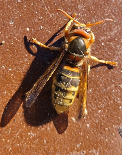
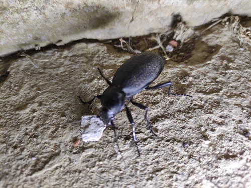
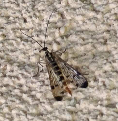
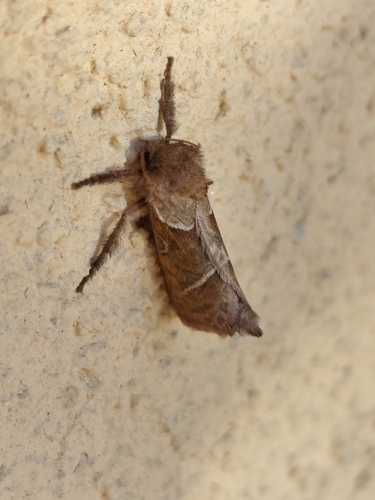
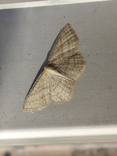
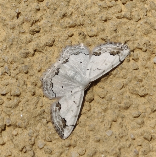
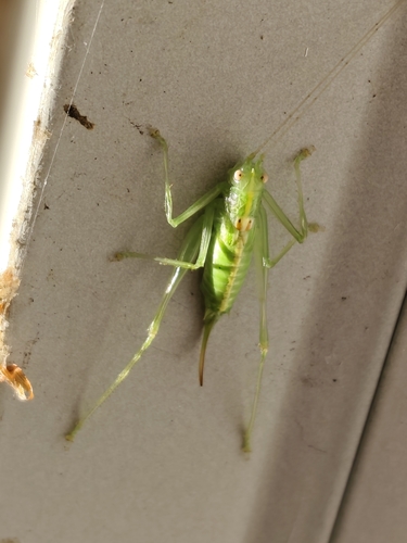
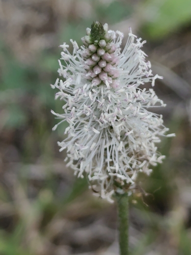
Research-grade observations from iNaturalist (within ~15 mi).
Events
Gallery
Sources
- • Wikipedia
- • Wikidata
- • iNaturalist
- • Open-Meteo / sunrise-sunset.org
- • Wikipedia Pageviews API