Browse / Croatia / Šibenik-Knin / Primošten
Primošten
Šibenik-Kninvillage

Primošten
Total population
1,631
Demographic figures from Croatian Bureau of Statistics. Overview below cites Wikipedia and may reference a different year.
City facts
Facts from Wikidata (CC0).
Overview
Primošten is a town and municipality in Šibenik-Knin County, Croatia. It is situated between the cities of Šibenik and Trogir, on the Adriatic coast.
Read more on WikipediaHistory & geography
History
In the past, Primošten was situated on the islet close to the mainland. During the Ottoman invasions in 1542 the islet was protected by the walls and towers and a draw bridge connected it to the mainland. When the Turks retreated, the draw bridge was replaced by the causeway and in 1564 the settlement was named Primošten after the Croatian verb primostiti (to bridge). It is built on a hill and is dominated by the parish church of St. George which was built in 1485 and restored in 1760 close to the local graveyard from which a unique view spreads to the sea and the surroundings.
Excerpted from the corresponding Wikipedia article (CC BY-SA).
Geography
Coordinates & boundaries from the US Census TIGER/Line shapefiles.
Climate
Air quality
Walkability
Amenities nearby
Wildlife & biodiversity
Earthquake history
Photos
Sights & places nearby
Notable people from here
People born within ~10 km, from Wikidata (CC0). Click any name for their Wikipedia article.
Nearby places in Šibenik-Knin
- Zečevo Rogozničko3.1 mi away · pop. 195
- Vadalj3.5 mi away · pop. 93
- Jarebinjak4.3 mi away · pop. 8
- Ložnice4.6 mi away · pop. 19
- Zatoglav4.8 mi away · pop. 61
- Podglavica4.8 mi away · pop. 242
- Žaborić5.3 mi away · pop. 552
- Sapina Doca5.5 mi away · pop. 64
- Ražanj6 mi away · pop. 161
- Stivašnica6.3 mi away · pop. 47
- Brodarica6.5 mi away · pop. 2,611
- Podorljak6.6 mi away · pop. 125
Geography & sun
Elevation, sunrise/sunset and daylight from Open-Meteo. Solar climatology from NASA POWER.
Nearby airports
Public attention
Pageview totals from the Wikimedia Pageviews API.
Books about this place
Recent natural events nearby
Ground air-quality sensors
Recently spotted species
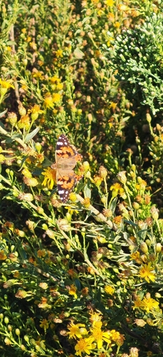
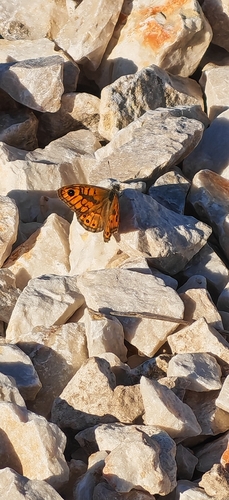
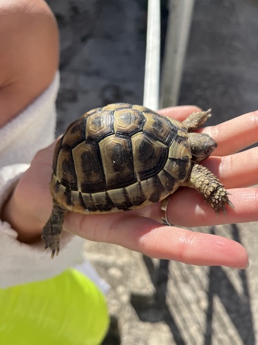
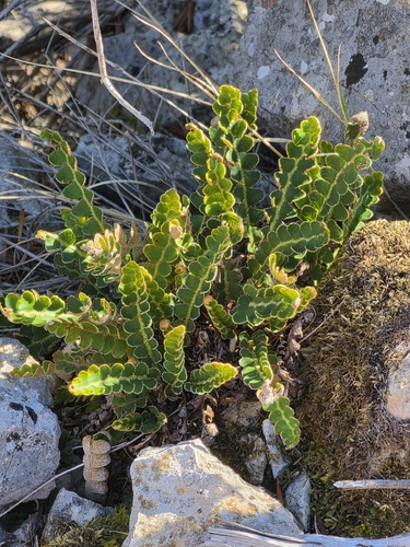
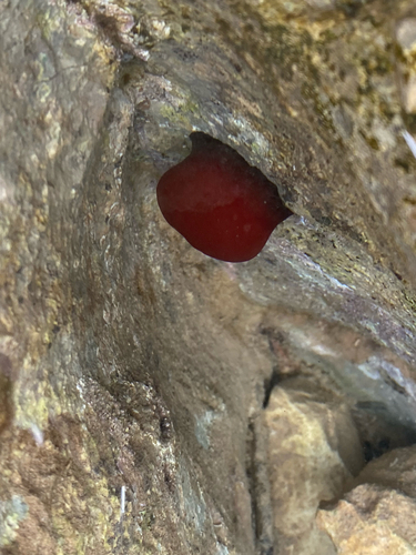
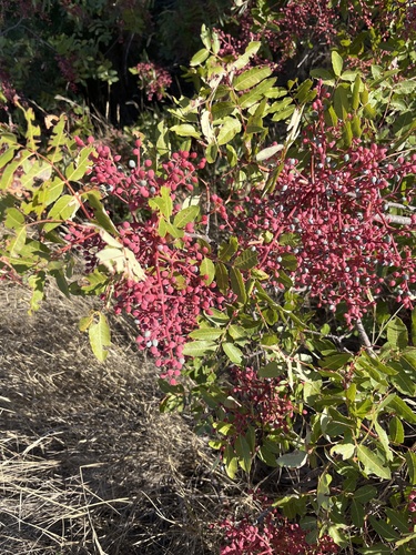
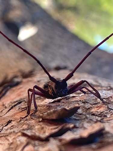
Research-grade observations from iNaturalist (within ~15 mi).
Events
Gallery
Sources
- • Wikipedia
- • Wikidata
- • iNaturalist
- • Open-Meteo / sunrise-sunset.org
- • Wikipedia Pageviews API